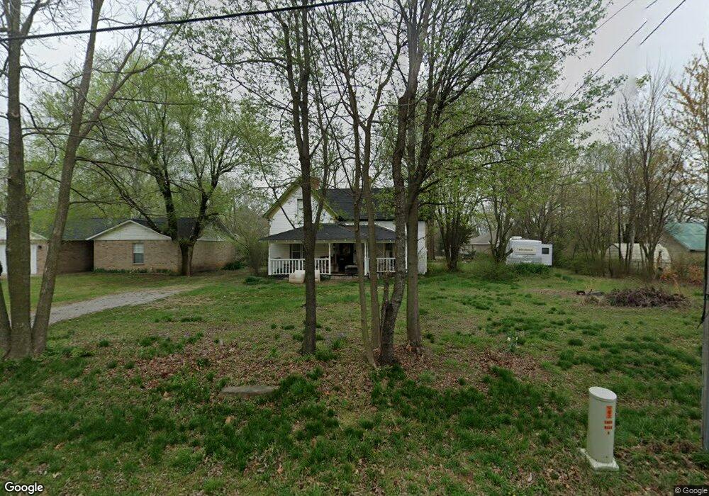
208 N West Ave Lincoln, AR 72744
Estimated Value: $170,000 - $322,000
4
Beds
1
Bath
1,660
Sq Ft
$133/Sq Ft
Est. Value
About This Home
This home is located at 208 N West Ave, Lincoln, AR 72744 and is currently estimated at $220,165, approximately $132 per square foot. 208 N West Ave is a home located in Washington County with nearby schools including Lincoln Elementary School and Lincoln High School.
Ownership History
Date
Name
Owned For
Owner Type
Purchase Details
Closed on
Mar 30, 2019
Sold by
Ingersoll Financial Midwest Land Trust
Bought by
Towne Michael D
Current Estimated Value
Purchase Details
Closed on
Feb 4, 2017
Sold by
Harbour Portfolio Vii Lp
Bought by
Ingersoll Keith and Ingersoll Financial No44 Land Trust
Purchase Details
Closed on
Sep 1, 2015
Bought by
Canada Matthew
Purchase Details
Closed on
Jul 20, 2012
Sold by
Federal National Mortgage Association
Bought by
Harbour Portfolio Lp
Purchase Details
Closed on
Jun 5, 1995
Bought by
Vernon Kelly Brian and Vernon Anita B
Create a Home Valuation Report for This Property
The Home Valuation Report is an in-depth analysis detailing your home's value as well as a comparison with similar homes in the area
Home Values in the Area
Average Home Value in this Area
Purchase History
| Date | Buyer | Sale Price | Title Company |
|---|---|---|---|
| Towne Michael D | $3,000 | None Available | |
| Ingersoll Keith | -- | None Available | |
| Canada Matthew | -- | -- | |
| Harbour Portfolio Lp | $15,085 | None Available | |
| Vernon Kelly Brian | $55,000 | -- |
Source: Public Records
Tax History Compared to Growth
Tax History
| Year | Tax Paid | Tax Assessment Tax Assessment Total Assessment is a certain percentage of the fair market value that is determined by local assessors to be the total taxable value of land and additions on the property. | Land | Improvement |
|---|---|---|---|---|
| 2025 | $936 | $22,590 | $6,000 | $16,590 |
| 2024 | $864 | $22,590 | $6,000 | $16,590 |
| 2023 | $804 | $22,590 | $6,000 | $16,590 |
| 2022 | $731 | $13,480 | $2,160 | $11,320 |
| 2021 | $731 | $13,480 | $2,160 | $11,320 |
| 2020 | $731 | $13,480 | $2,160 | $11,320 |
| 2019 | $584 | $10,780 | $2,100 | $8,680 |
| 2018 | $584 | $10,780 | $2,100 | $8,680 |
| 2017 | $579 | $10,780 | $2,100 | $8,680 |
| 2016 | $579 | $10,780 | $2,100 | $8,680 |
| 2015 | $579 | $10,780 | $2,100 | $8,680 |
| 2014 | $729 | $13,580 | $1,750 | $11,830 |
Source: Public Records
Map
Nearby Homes
- 116 N West Ave
- 204 N Starr Ave
- 301 W Bean St
- 108 Short Ave
- 108 N Main Ave
- 210 N Main Ave
- 0 W Bean St
- 511 W North St
- 0 Shady St
- 523 & 525 W North St
- 711 Applegate Ln
- 724 Applegate Ln
- 313 E North St
- 304 Shady St
- 310 E Bean St
- 733 Applegate Ln
- 394 E North St
- 312 E Bean St
- 603 Sugar Hill Rd
- 17948 W Highway 62
- 212 N West Ave
- 201 N Starr Ave
- 300 N West Ave
- 205 N West Ave
- 205 S West Ave
- 207 N West Ave
- 0 Tbd Starr (1 15 Ac) Ave Unit 1142490
- 201 N West Ave
- 201 S West Ave
- 205 N Starr Ave
- 122 N West Ave
- 0 N A N Starr Ave Unit 1224569
- 305 N West Ave
- 123 West Ave
- 202 W North St
- 308 N West Ave
- TBD Starr Ave
- 309 W North St
- 121 N Starr Ave
- 118 N West Ave