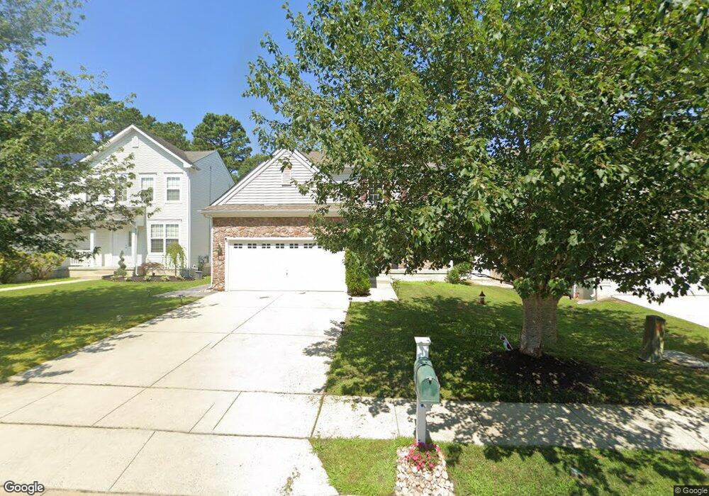
208 Pheasant Run Rd Mays Landing, NJ 08330
Estimated Value: $404,798 - $427,000
--
Bed
--
Bath
1,720
Sq Ft
$243/Sq Ft
Est. Value
About This Home
This home is located at 208 Pheasant Run Rd, Mays Landing, NJ 08330 and is currently estimated at $417,700, approximately $242 per square foot. 208 Pheasant Run Rd is a home located in Atlantic County with nearby schools including George L. Hess Educational Complex, Joseph Shaner School, and William Davies Middle School.
Ownership History
Date
Name
Owned For
Owner Type
Purchase Details
Closed on
Jun 6, 2008
Sold by
Baker Residential Of Pennsylvania Llc
Bought by
Planko Christa
Current Estimated Value
Home Financials for this Owner
Home Financials are based on the most recent Mortgage that was taken out on this home.
Original Mortgage
$185,000
Outstanding Balance
$119,198
Interest Rate
6.13%
Mortgage Type
Purchase Money Mortgage
Estimated Equity
$298,502
Create a Home Valuation Report for This Property
The Home Valuation Report is an in-depth analysis detailing your home's value as well as a comparison with similar homes in the area
Home Values in the Area
Average Home Value in this Area
Purchase History
| Date | Buyer | Sale Price | Title Company |
|---|---|---|---|
| Planko Christa | $277,552 | Commonwealth Land Title Insu |
Source: Public Records
Mortgage History
| Date | Status | Borrower | Loan Amount |
|---|---|---|---|
| Open | Planko Christa | $185,000 |
Source: Public Records
Tax History Compared to Growth
Tax History
| Year | Tax Paid | Tax Assessment Tax Assessment Total Assessment is a certain percentage of the fair market value that is determined by local assessors to be the total taxable value of land and additions on the property. | Land | Improvement |
|---|---|---|---|---|
| 2025 | $7,112 | $207,300 | $43,600 | $163,700 |
| 2024 | $7,112 | $207,300 | $43,600 | $163,700 |
| 2023 | $6,688 | $207,300 | $43,600 | $163,700 |
| 2022 | $6,688 | $207,300 | $43,600 | $163,700 |
| 2021 | $6,673 | $207,300 | $43,600 | $163,700 |
| 2020 | $6,673 | $207,300 | $43,600 | $163,700 |
| 2019 | $6,690 | $207,300 | $43,600 | $163,700 |
| 2018 | $6,455 | $207,300 | $43,600 | $163,700 |
| 2017 | $6,354 | $207,300 | $43,600 | $163,700 |
| 2016 | $6,175 | $207,300 | $43,600 | $163,700 |
| 2015 | $5,966 | $207,300 | $43,600 | $163,700 |
| 2014 | $5,863 | $223,200 | $48,600 | $174,600 |
Source: Public Records
Map
Nearby Homes
- 72 Knollwood Dr
- 35 Knollwood Dr
- 3 Knollwood Dr
- 3 Pin Oak Dr
- 85 Knollwood Dr Unit 85
- 33 Knollwood Dr Unit 33
- 28 Meadow Cir
- 218 Burning Tree Ct
- 277 Greenbriar Ct
- 134 Glen Eagles Ct
- 197 Pebble Beach Dr
- 154 Muirfield Ct
- 308 Augusta Ct
- 165 Turnberry Ct
- 182 Pebble Beach Dr
- 66 Monet Dr
- 20 Monet Dr
- 8 Rembrandt Way
- 78 Oakmont Dr
- 200 Booker Ave
- 210 Pheasant Run Rd
- 206 Pheasant Run Rd
- 204 Pheasant Run Rd
- 212 Pheasant Run Rd
- 207 Pheasant Run Rd
- 214 Pheasant Run Rd
- 209 Pheasant Run Rd
- 202 Pheasant Run Rd
- 76 Galleria Dr
- 78 Galleria Dr
- 216 Pheasant Run Rd
- 213 Pheasant Run Rd
- 200 Pheasant Run Rd
- 74 Galleria Dr
- 162 Pheasant Run Rd
- 72 Galleria Dr
- 215 Pheasant Run Rd
- 80 Galleria Dr
- 218 Pheasant Run Rd
- 217 Pheasant Run Rd