Estimated Value: $499,000 - $704,822
--
Bed
--
Bath
4,775
Sq Ft
$128/Sq Ft
Est. Value
About This Home
This home is located at 208 Red Hawk Cir, Paron, AR 72122 and is currently estimated at $612,274, approximately $128 per square foot. 208 Red Hawk Cir is a home with nearby schools including Chenal Elementary School, Joe T. Robinson Middle School, and Joe T. Robinson High School.
Ownership History
Date
Name
Owned For
Owner Type
Purchase Details
Closed on
Jan 18, 2016
Sold by
White Donnie L and White Ruby M
Bought by
Hawk Valley Estates Property Owners Asso
Current Estimated Value
Purchase Details
Closed on
Mar 28, 2014
Sold by
Rhst Inc
Bought by
White Donnie L
Create a Home Valuation Report for This Property
The Home Valuation Report is an in-depth analysis detailing your home's value as well as a comparison with similar homes in the area
Home Values in the Area
Average Home Value in this Area
Purchase History
| Date | Buyer | Sale Price | Title Company |
|---|---|---|---|
| Hawk Valley Estates Property Owners Asso | -- | Attorney | |
| White Donnie L | $50,900 | First National Title Company |
Source: Public Records
Tax History Compared to Growth
Tax History
| Year | Tax Paid | Tax Assessment Tax Assessment Total Assessment is a certain percentage of the fair market value that is determined by local assessors to be the total taxable value of land and additions on the property. | Land | Improvement |
|---|---|---|---|---|
| 2025 | $5,799 | $120,227 | $12,990 | $107,237 |
| 2024 | $5,566 | $120,227 | $12,990 | $107,237 |
| 2023 | $5,566 | $120,227 | $12,990 | $107,237 |
| 2022 | $5,153 | $120,227 | $12,990 | $107,237 |
| 2021 | $4,689 | $91,314 | $10,392 | $80,922 |
| 2020 | $512 | $10,390 | $10,390 | $0 |
| 2019 | $429 | $10,390 | $10,390 | $0 |
| 2018 | $396 | $10,390 | $10,390 | $0 |
| 2017 | $363 | $10,390 | $10,390 | $0 |
| 2016 | $330 | $6,500 | $6,500 | $0 |
| 2015 | $330 | $6,500 | $6,500 | $0 |
| 2014 | $330 | $6,500 | $6,500 | $0 |
Source: Public Records
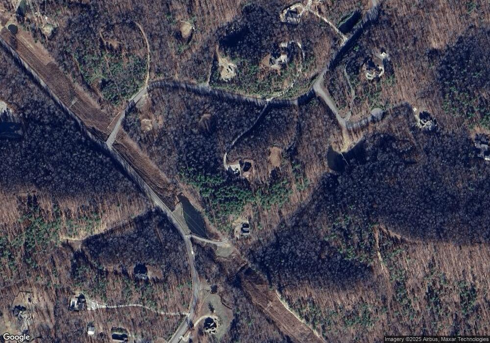
Map
Nearby Homes
- 6111 Crestwood Ln
- 225 Red Hawk Cir
- 0 Bandy Road South W Unit 22020705
- 0 Bandy South E Unit 22022758
- 0 Bandy North E Unit 22022753
- 29100 Bandy Rd
- 44 Bald Eagle Dr
- 46 Bald Eagle Dr
- 39 Golden Eagle Dr
- 5121 Copper Creek Ln
- 7142 Neal Creek Rd
- 28721 Kanis Rd
- 0 Garrison Rd W Unit 22020890
- 0 Garrison Rd E Unit 22020907
- 23 Witness Tree Ln
- 0 Kanis Rd Unit 25015532
- 0 Garrison Rd N Unit 22021042
- 4300 Deer Dr
- 2056 Gunnison Dr
- Lot 34 & 35 Brushmountain Trail
- 205 Red Hawk Cir
- 0 Red Hawk Cir Unit 24026901
- 0 Red Hawk Cir Unit 23036212
- Lot 7 Red Hawk Cir
- 0 Red Hawk Cir Unit 20018458
- 0 Red Hawk Cir Unit 22020985
- 0 Red Hawk Cir
- 112 Hawk Valley Dr
- Hawk Valley Dr Unit 17029717
- 217 Red Hawk Cir
- W Hawk Trail
- 4022 W Hawk Trail
- 4010 W Hawk Trail
- 305 Broad Hawk Cir
- Tract 7B Hawk Valley Phase II Valley
- Lot 18 Hawk Valley Dr
- 221 Red Hawk Cir
- 00 Hawk Valley Dr
- 113 Hawk Valley Dr
- 0 Hawk Valley Dr Unit 20029512