208 Red Hawk Dr Cranberry Township, PA 16066
Estimated Value: $969,000 - $1,268,943
4
Beds
5
Baths
5,948
Sq Ft
$189/Sq Ft
Est. Value
About This Home
This home is located at 208 Red Hawk Dr, Cranberry Township, PA 16066 and is currently estimated at $1,123,986, approximately $188 per square foot. 208 Red Hawk Dr is a home with nearby schools including Rowan Elementary School, Haine Middle School, and Ryan Gloyer Middle School.
Ownership History
Date
Name
Owned For
Owner Type
Purchase Details
Closed on
Jan 21, 2015
Sold by
Nvr Inc
Bought by
Cook Scott M
Current Estimated Value
Home Financials for this Owner
Home Financials are based on the most recent Mortgage that was taken out on this home.
Original Mortgage
$417,000
Outstanding Balance
$319,050
Interest Rate
3.81%
Mortgage Type
New Conventional
Estimated Equity
$804,936
Purchase Details
Closed on
Jun 25, 2014
Sold by
Sci Development Co Inc
Bought by
Nvr Inc
Create a Home Valuation Report for This Property
The Home Valuation Report is an in-depth analysis detailing your home's value as well as a comparison with similar homes in the area
Home Values in the Area
Average Home Value in this Area
Purchase History
| Date | Buyer | Sale Price | Title Company |
|---|---|---|---|
| Cook Scott M | $650,053 | -- | |
| Nvr Inc | $130,000 | -- |
Source: Public Records
Mortgage History
| Date | Status | Borrower | Loan Amount |
|---|---|---|---|
| Open | Cook Scott M | $417,000 |
Source: Public Records
Tax History Compared to Growth
Tax History
| Year | Tax Paid | Tax Assessment Tax Assessment Total Assessment is a certain percentage of the fair market value that is determined by local assessors to be the total taxable value of land and additions on the property. | Land | Improvement |
|---|---|---|---|---|
| 2025 | $9,779 | $54,570 | $2,600 | $51,970 |
| 2024 | $9,488 | $54,570 | $2,600 | $51,970 |
| 2023 | $9,349 | $54,570 | $2,600 | $51,970 |
| 2022 | $9,349 | $54,570 | $2,600 | $51,970 |
| 2021 | $9,210 | $54,570 | $0 | $0 |
| 2020 | $9,210 | $54,570 | $2,600 | $51,970 |
| 2019 | $9,106 | $54,570 | $2,600 | $51,970 |
| 2018 | $9,106 | $54,570 | $2,600 | $51,970 |
| 2017 | $8,943 | $54,570 | $2,600 | $51,970 |
| 2016 | $2,415 | $53,700 | $2,600 | $51,100 |
| 2015 | $53 | $2,600 | $2,600 | $0 |
Source: Public Records
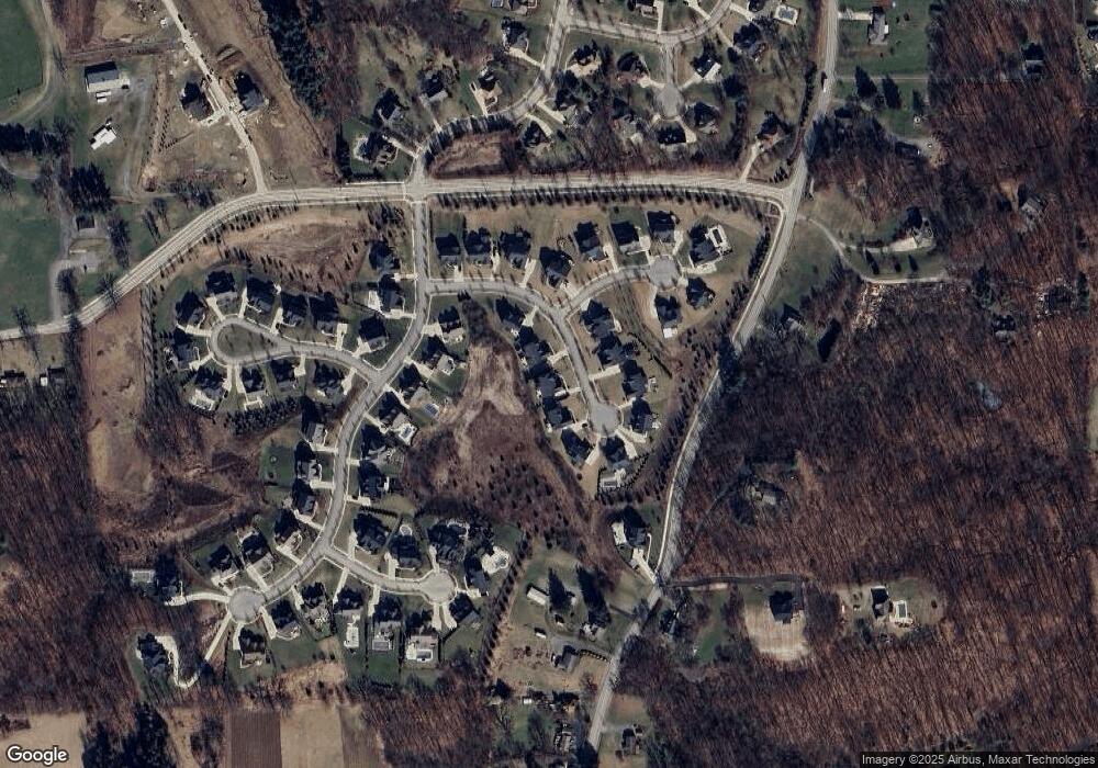
Map
Nearby Homes
- Cambridge Plan at Park Meadows
- Napa Plan at Park Meadows
- Colorado Plan at Park Meadows
- Arlington Plan at Park Meadows
- Carolina Plan at Park Meadows
- Nantucket Plan at Park Meadows
- Austin Plan at Park Meadows
- Portland Plan at Park Meadows
- Georgetown Plan at Park Meadows
- Aspen Plan at Park Meadows
- Sedona Plan at Park Meadows
- Scottsdale Plan at Park Meadows
- 9660 Goehring Rd
- 9650 Goehring Rd
- Lot 102 Hope Rd
- 7524 Franklin Rd
- Sedona Plan at Forrest Edge - Forest Edge
- Aspen Plan at Forrest Edge - Forest Edge
- Nantucket Plan at Forrest Edge - Forest Edge
- Portland Plan at Forrest Edge - Forest Edge
- 206 Red Hawk Dr
- 210 Red Hawk Dr
- 211 Red Hawk Dr
- 204 Red Hawk Dr
- 212 Red Hawk Dr
- 209 Red Hawk Dr
- 213 Red Hawk Dr
- 215 Red Hawk Dr
- 214 Red Hawk Dr
- 107 Fairview Dr
- 207 Red Hawk Dr
- 105 Fairview Dr
- 109 Fairview Dr
- 304 Sapling Ct
- 205 Red Hawk Dr
- 203 Red Hawk Dr
- 303 Sapling Ct
- 111 Fairview Dr
- 305 Sapling Ct
- 7431 Franklin Rd