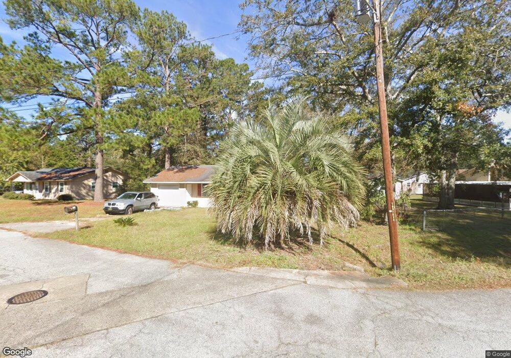
208 Robin Rd Hinesville, GA 31313
Estimated Value: $146,000 - $199,000
3
Beds
2
Baths
1,125
Sq Ft
$154/Sq Ft
Est. Value
About This Home
This home is located at 208 Robin Rd, Hinesville, GA 31313 and is currently estimated at $173,311, approximately $154 per square foot. 208 Robin Rd is a home located in Liberty County with nearby schools including Joseph Martin Elementary School, Snelson-Golden Middle School, and Bradwell Institute.
Ownership History
Date
Name
Owned For
Owner Type
Purchase Details
Closed on
Apr 25, 2018
Sold by
Adams Frank Edward
Bought by
Cockroft Michael D and Cockroft Olga
Current Estimated Value
Home Financials for this Owner
Home Financials are based on the most recent Mortgage that was taken out on this home.
Original Mortgage
$77,991
Outstanding Balance
$67,071
Interest Rate
4.44%
Mortgage Type
VA
Estimated Equity
$106,240
Purchase Details
Closed on
Feb 23, 2005
Sold by
Adams Frank Edward
Bought by
Adams Frank Edward and Adams Diane
Purchase Details
Closed on
Jul 30, 1999
Sold by
Sec Of V A
Bought by
Adams Frank Edward
Purchase Details
Closed on
Jul 7, 1998
Sold by
Fleet Mortgage Corp
Bought by
Sec Of V A
Purchase Details
Closed on
Sep 25, 1992
Sold by
Sc National Bank
Bought by
Haynes Steve
Purchase Details
Closed on
Aug 6, 1991
Bought by
Sc National Bank
Create a Home Valuation Report for This Property
The Home Valuation Report is an in-depth analysis detailing your home's value as well as a comparison with similar homes in the area
Home Values in the Area
Average Home Value in this Area
Purchase History
| Date | Buyer | Sale Price | Title Company |
|---|---|---|---|
| Cockroft Michael D | $76,350 | -- | |
| Adams Frank Edward | -- | -- | |
| Adams Frank Edward | $40,000 | -- | |
| Sec Of V A | -- | -- | |
| Fleet Mortgage Corp | $49,000 | -- | |
| Haynes Steve | $49,900 | -- | |
| Sc National Bank | $54,700 | -- |
Source: Public Records
Mortgage History
| Date | Status | Borrower | Loan Amount |
|---|---|---|---|
| Open | Cockroft Michael D | $77,991 |
Source: Public Records
Tax History Compared to Growth
Tax History
| Year | Tax Paid | Tax Assessment Tax Assessment Total Assessment is a certain percentage of the fair market value that is determined by local assessors to be the total taxable value of land and additions on the property. | Land | Improvement |
|---|---|---|---|---|
| 2024 | $2,583 | $52,435 | $12,000 | $40,435 |
| 2023 | $2,583 | $47,720 | $12,000 | $35,720 |
| 2022 | $1,700 | $36,327 | $8,400 | $27,927 |
| 2021 | $1,548 | $32,432 | $8,400 | $24,032 |
| 2020 | $1,366 | $28,303 | $6,800 | $21,503 |
| 2019 | $1,369 | $28,597 | $6,800 | $21,797 |
| 2018 | $1,362 | $28,597 | $6,800 | $21,797 |
| 2017 | $810 | $24,588 | $6,800 | $17,788 |
| 2016 | $1,131 | $24,842 | $6,800 | $18,042 |
| 2015 | $1,472 | $24,842 | $6,800 | $18,042 |
| 2014 | $1,472 | $32,142 | $6,800 | $25,342 |
| 2013 | -- | $29,352 | $6,800 | $22,552 |
Source: Public Records
Map
Nearby Homes
- 614 2nd St
- 313 Deal St
- 614 S Main St
- 727 S Main St Unit 20
- 727 S Main St Unit 60
- 727 S Main St Unit 42
- 480 Dykes St
- 0 County Line Rd Unit 18961791
- 0 County Line Rd Unit 1644022
- 520 Wellington Way
- 76 Boundary Hal Way
- 12 Boundary Hal Way
- 23 Hollis Ln
- 62 Beaumont Dr
- 84 Beaumont Dr
- 66 Beaumont Dr
- 74 Beaumont Dr