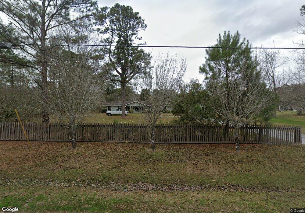
208 Roger Dr Slidell, LA 70461
Estimated Value: $285,532 - $322,000
Studio
--
Bath
2,441
Sq Ft
$124/Sq Ft
Est. Value
About This Home
This home is located at 208 Roger Dr, Slidell, LA 70461 and is currently estimated at $301,633, approximately $123 per square foot. 208 Roger Dr is a home with nearby schools including Cypress Cove Elementary School, Honey Island Elementary School, and Little Oak Middle School.
Ownership History
Date
Name
Owned For
Owner Type
Purchase Details
Closed on
Sep 13, 2013
Sold by
Elliott Katie Guidry and Elliott George F
Bought by
Rivarde Rebecca Calix and Rivarde Jason Michael
Current Estimated Value
Home Financials for this Owner
Home Financials are based on the most recent Mortgage that was taken out on this home.
Original Mortgage
$191,468
Outstanding Balance
$141,418
Interest Rate
4.45%
Mortgage Type
FHA
Estimated Equity
$160,215
Create a Home Valuation Report for This Property
The Home Valuation Report is an in-depth analysis detailing your home's value as well as a comparison with similar homes in the area
Home Values in the Area
Average Home Value in this Area
Purchase History
| Date | Buyer | Sale Price | Title Company |
|---|---|---|---|
| Rivarde Rebecca Calix | $195,000 | Multiple |
Source: Public Records
Mortgage History
| Date | Status | Borrower | Loan Amount |
|---|---|---|---|
| Open | Rivarde Rebecca Calix | $191,468 |
Source: Public Records
Tax History
| Year | Tax Paid | Tax Assessment Tax Assessment Total Assessment is a certain percentage of the fair market value that is determined by local assessors to be the total taxable value of land and additions on the property. | Land | Improvement |
|---|---|---|---|---|
| 2025 | $2,331 | $25,750 | $1,000 | $24,750 |
| 2024 | $2,331 | $28,781 | $1,000 | $27,781 |
| 2023 | $2,822 | $20,475 | $1,000 | $19,475 |
| 2022 | $187,887 | $20,475 | $1,000 | $19,475 |
| 2021 | $1,876 | $20,475 | $1,000 | $19,475 |
| 2020 | $1,867 | $20,475 | $1,000 | $19,475 |
| 2019 | $2,398 | $16,139 | $690 | $15,449 |
| 2018 | $2,407 | $16,139 | $690 | $15,449 |
| 2017 | $2,423 | $16,139 | $690 | $15,449 |
| 2016 | $2,480 | $16,139 | $690 | $15,449 |
| 2015 | $1,275 | $15,444 | $660 | $14,784 |
| 2014 | $1,251 | $15,444 | $660 | $14,784 |
| 2013 | -- | $12,694 | $660 | $12,034 |
Source: Public Records
Map
Nearby Homes
Your Personal Tour Guide
Ask me questions while you tour the home.