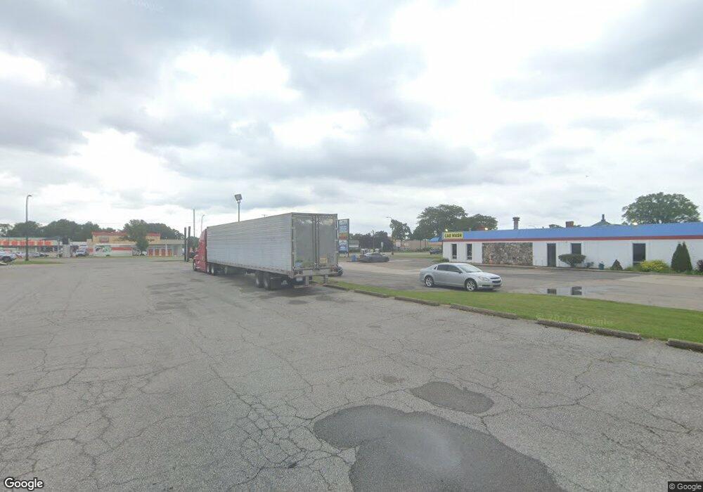
208 S Wayne Rd Westland, MI 48186
--
Bed
--
Bath
8,680
Sq Ft
0.6
Acres
About This Home
This home is located at 208 S Wayne Rd, Westland, MI 48186. 208 S Wayne Rd is a home located in Wayne County with nearby schools including Wildwood Elementary School, Marshall Upper Elementary School, and Adlai Stevenson Middle School.
Ownership History
Date
Name
Owned For
Owner Type
Purchase Details
Closed on
Apr 22, 2025
Sold by
Little Caesar Enterprises Inc
Bought by
208 S Wayne Llc
Home Financials for this Owner
Home Financials are based on the most recent Mortgage that was taken out on this home.
Original Mortgage
$640,000
Outstanding Balance
$637,159
Interest Rate
6.65%
Mortgage Type
Credit Line Revolving
Purchase Details
Closed on
Jul 29, 2016
Sold by
Mmi Real Estate Ii Llc
Bought by
Little Caesar Enterprises Inc
Purchase Details
Closed on
May 20, 2015
Sold by
Ilitch Michael and Ilitch Marian
Bought by
Mmi Real Estate Ii Llc
Create a Home Valuation Report for This Property
The Home Valuation Report is an in-depth analysis detailing your home's value as well as a comparison with similar homes in the area
Home Values in the Area
Average Home Value in this Area
Purchase History
| Date | Buyer | Sale Price | Title Company |
|---|---|---|---|
| 208 S Wayne Llc | $320,000 | None Listed On Document | |
| Little Caesar Enterprises Inc | -- | First American Title | |
| Little Caesar Enterprises Inc | -- | First American Title | |
| Mmi Real Estate Ii Llc | -- | Attorney |
Source: Public Records
Mortgage History
| Date | Status | Borrower | Loan Amount |
|---|---|---|---|
| Open | 208 S Wayne Llc | $640,000 |
Source: Public Records
Tax History Compared to Growth
Tax History
| Year | Tax Paid | Tax Assessment Tax Assessment Total Assessment is a certain percentage of the fair market value that is determined by local assessors to be the total taxable value of land and additions on the property. | Land | Improvement |
|---|---|---|---|---|
| 2025 | $11,831 | $287,300 | $0 | $0 |
| 2024 | $11,831 | $281,300 | $0 | $0 |
| 2023 | $11,289 | $261,400 | $0 | $0 |
| 2022 | $12,194 | $245,200 | $0 | $0 |
| 2021 | $11,930 | $231,200 | $0 | $0 |
| 2020 | $11,806 | $231,500 | $0 | $0 |
| 2019 | $11,449 | $227,500 | $0 | $0 |
| 2018 | $9,539 | $197,400 | $0 | $0 |
| 2017 | $2,661 | $188,500 | $0 | $0 |
| 2016 | $11,043 | $169,400 | $0 | $0 |
| 2015 | $16,117 | $166,410 | $0 | $0 |
| 2013 | $16,087 | $163,860 | $0 | $0 |
| 2012 | $21,563 | $409,490 | $0 | $0 |
Source: Public Records
Map
Nearby Homes
- 35608 Somerset St
- 35052 Cherry Hill Rd
- 344 S Christine
- 624 N Parent St
- 639 N Harvey St
- 357 S Dobson St
- 34728 Somerset St
- 35193 Sansburn St
- 35228 Rosslyn St
- 788 N Linville St
- 34610 School St
- 284 S Byfield St
- 36034 Rolf St
- 35209 Sheridan St
- 232 S Wildwood St
- 366 S Wildwood St
- 35236 Glen St
- 35720 Glen St
- 540 Dartmouth Crescent Ct
- 451 Darwin St
- 35608 Fernwood St
- 35620 Fernwood St
- 35570 Fernwood St
- 35632 Fernwood St
- 213 S Parent St
- 167 S Parent Ave
- 35558 Fernwood St
- 35644 Fernwood St
- 149 S Parent Ave
- 149 S Parent St
- 129 S Parent Ave
- 0 N Parent St
- 35546 Fernwood St
- 0 Parent Unit 218009261
- 0 Parent Unit R2200100534
- 35656 Fernwood St
- 0 N Harvey St
- 35535 Cherry Hill Rd Unit Bldg-Unit
- 35535 Cherry Hill Rd
- 35534 Fernwood St