Estimated Value: $388,000 - $514,000
4
Beds
3
Baths
2,083
Sq Ft
$210/Sq Ft
Est. Value
About This Home
This home is located at 208 Safe Harbor Cir Unit Keowee Key, Salem, SC 29676 and is currently estimated at $437,075, approximately $209 per square foot. 208 Safe Harbor Cir Unit Keowee Key is a home located in Oconee County with nearby schools including Keowee Elementary School, Walhalla Middle School, and Walhalla High School.
Ownership History
Date
Name
Owned For
Owner Type
Purchase Details
Closed on
Dec 8, 2023
Sold by
Davidow Christina B and Davidow Joseph A
Bought by
Lakeshore Escape Llc
Current Estimated Value
Purchase Details
Closed on
Sep 1, 2023
Sold by
Tammy M Hannen Living Trust
Bought by
Davidow Christina B and Davidow Joseph A
Home Financials for this Owner
Home Financials are based on the most recent Mortgage that was taken out on this home.
Original Mortgage
$200,000
Interest Rate
6.81%
Mortgage Type
New Conventional
Create a Home Valuation Report for This Property
The Home Valuation Report is an in-depth analysis detailing your home's value as well as a comparison with similar homes in the area
Home Values in the Area
Average Home Value in this Area
Purchase History
| Date | Buyer | Sale Price | Title Company |
|---|---|---|---|
| Lakeshore Escape Llc | -- | None Listed On Document | |
| Davidow Christina B | $400,000 | None Listed On Document |
Source: Public Records
Mortgage History
| Date | Status | Borrower | Loan Amount |
|---|---|---|---|
| Previous Owner | Davidow Christina B | $200,000 |
Source: Public Records
Tax History Compared to Growth
Tax History
| Year | Tax Paid | Tax Assessment Tax Assessment Total Assessment is a certain percentage of the fair market value that is determined by local assessors to be the total taxable value of land and additions on the property. | Land | Improvement |
|---|---|---|---|---|
| 2024 | $5,536 | $15,879 | $96 | $15,783 |
| 2023 | $2,324 | $6,664 | $214 | $6,450 |
| 2022 | $2,354 | $6,664 | $214 | $6,450 |
| 2021 | $1,946 | $6,310 | $214 | $6,096 |
| 2020 | $2,292 | $0 | $0 | $0 |
| 2019 | $2,292 | $0 | $0 | $0 |
| 2018 | $2,236 | $0 | $0 | $0 |
| 2017 | $1,946 | $0 | $0 | $0 |
| 2016 | $1,946 | $0 | $0 | $0 |
| 2015 | -- | $0 | $0 | $0 |
| 2014 | -- | $8,476 | $263 | $8,213 |
| 2013 | -- | $0 | $0 | $0 |
Source: Public Records
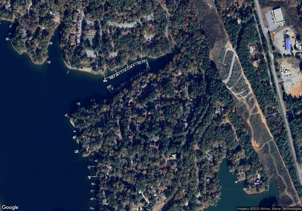
Map
Nearby Homes
- 110 Safe Harbor Cir
- 13 Lead Line Way
- 203 W Blue Heron Dr
- 19 Spy Glass Ln
- 1 Pine Garden Cir
- 2 Pine Garden Cir
- 4 Pine Garden Cir
- 307 Woodgreene Ct
- 204 Harbor Cove Dr
- 217 E Wynward Pointe Dr
- 2 Lookout Ln
- 37 Par Harbor Way
- 4 Sextant Dr
- 4 Hawser Ct
- 300 Northwind Ct
- 49 Par Harbor Way
- 25 Foremast Dr
- 124 Pineridge Pointe Dr
- 3 Harbour View Dr
- 122 Pineridge Pointe Dr
- 208 Safe Harbor Cir
- 302 Safe Harbor Cir
- 204 Safe Harbor Cir
- 304 Safe Harbor Cir Unit Safe Harbor 304
- 304 Safe Harbor Cir Unit Keowee Key
- 304 Safe Harbor Cir
- 202 Safe Harbor Cir
- 306 Safe Harbor Cir
- 308 Safe Harbor Cir
- 9 Wharf Dr Unit 24 Lot 06
- 5 Wharf Dr
- 108 Safe Harbor Cir
- 10 Wharf Dr
- 10 Wharf Dr Unit 24/003
- 106 Safe Harbor Cir
- 402 Safe Harbor Cir
- 12 Wharf Dr
- 104 Safe Harbor Cir
- 104 Safe Harbor Cir Unit Keowee Key
- 8 Wharf Dr