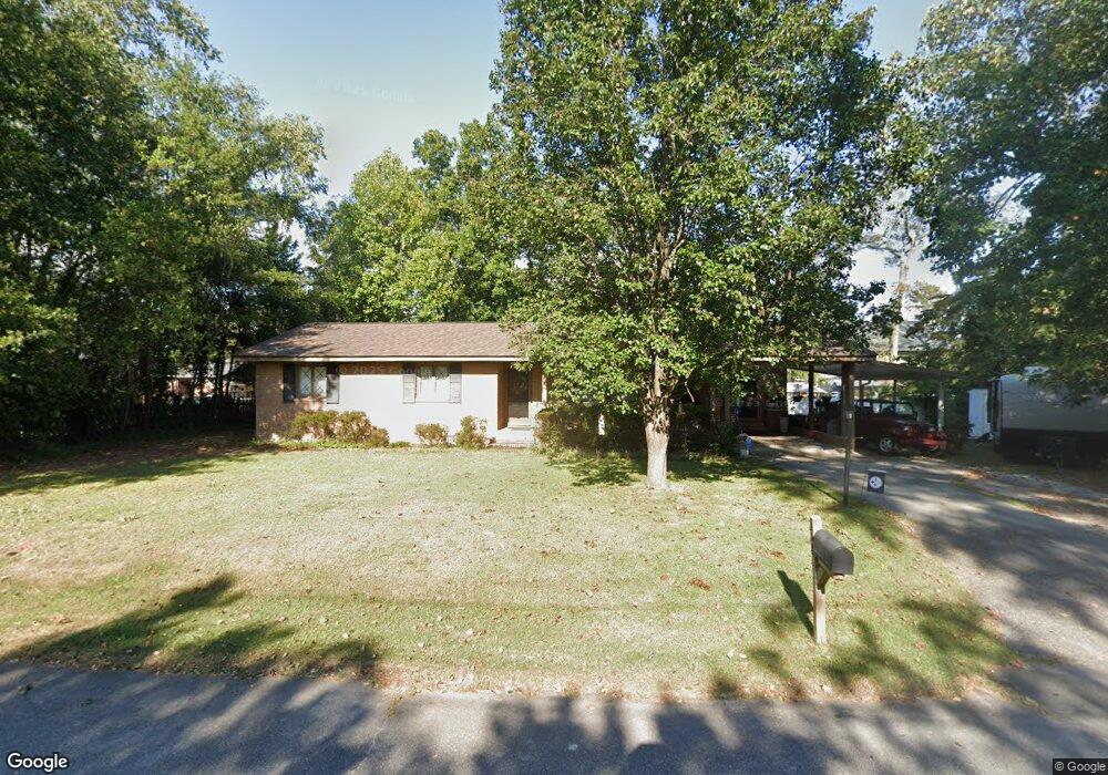
208 Sandel Ln West Columbia, SC 29169
Estimated Value: $251,000 - $273,000
3
Beds
2
Baths
1,683
Sq Ft
$156/Sq Ft
Est. Value
About This Home
This home is located at 208 Sandel Ln, West Columbia, SC 29169 and is currently estimated at $262,281, approximately $155 per square foot. 208 Sandel Ln is a home located in Lexington County with nearby schools including Riverbank Elementary, Northside Middle, and Brookland-Cayce High School.
Ownership History
Date
Name
Owned For
Owner Type
Purchase Details
Closed on
Dec 8, 2022
Sold by
Vietmeier Todd T
Bought by
Vietmeier Todd T and Vietmeier Pamela G
Current Estimated Value
Purchase Details
Closed on
Sep 5, 2008
Sold by
Hook Janice H and Shealy Janice H
Bought by
Vietmeier Todd T
Home Financials for this Owner
Home Financials are based on the most recent Mortgage that was taken out on this home.
Original Mortgage
$143,463
Interest Rate
6.48%
Mortgage Type
FHA
Create a Home Valuation Report for This Property
The Home Valuation Report is an in-depth analysis detailing your home's value as well as a comparison with similar homes in the area
Home Values in the Area
Average Home Value in this Area
Purchase History
| Date | Buyer | Sale Price | Title Company |
|---|---|---|---|
| Vietmeier Todd T | -- | -- | |
| Vietmeier Todd T | $145,000 | -- |
Source: Public Records
Mortgage History
| Date | Status | Borrower | Loan Amount |
|---|---|---|---|
| Previous Owner | Vietmeier Todd T | $143,463 |
Source: Public Records
Tax History Compared to Growth
Tax History
| Year | Tax Paid | Tax Assessment Tax Assessment Total Assessment is a certain percentage of the fair market value that is determined by local assessors to be the total taxable value of land and additions on the property. | Land | Improvement |
|---|---|---|---|---|
| 2024 | $1,238 | $5,843 | $1,400 | $4,443 |
| 2023 | $1,116 | $5,843 | $1,400 | $4,443 |
| 2022 | $1,127 | $5,843 | $1,400 | $4,443 |
| 2020 | $1,082 | $5,843 | $1,400 | $4,443 |
| 2019 | $1,013 | $5,358 | $1,400 | $3,958 |
| 2018 | $1,024 | $5,358 | $1,400 | $3,958 |
| 2017 | $983 | $5,358 | $1,400 | $3,958 |
| 2016 | $1,011 | $5,357 | $1,400 | $3,957 |
| 2014 | $804 | $5,612 | $1,400 | $4,212 |
| 2013 | -- | $5,610 | $1,400 | $4,210 |
Source: Public Records
Map
Nearby Homes
- 207 Woodhaven Dr
- 215 Sandel Ln
- 2004 Dew Ave
- 0 Platt Springs Rd Unit 606355
- 623 Hook Ave
- 165 Cavendish Dr
- 339 Gum Swamp Trail
- 349 Gum Swamp Trail
- 116 Silver Run Place
- 135 Silver Run Place
- 529 Finnegan Ln
- 500 Finnegan Ln
- 212 Alexandria St
- 913 Harper Rose Ct
- 309 Hammond Ave
- 617 Holland Cir
- 106 Earl Ct
- 1615 Holland St
- 1802 D Ave
- 179 War Admiral Dr
- 206 Sandel Ln
- 210 Sandel Ln
- 213 Sandel Ln
- 201 1/2 Woodhaven Dr
- 201 Woodhaven Dr
- 2109 Holland St
- 204 Woodhaven Dr
- 202 Woodhaven Dr
- 204 Sandel Ln
- 109 Menscer Dr
- 206 Woodhaven Dr
- 209 Sandel Ln
- 2113 Holland St
- 200 Woodhaven Dr
- 2110 Holland St
- 115 Woodhaven Dr
- 2107 Holland St
- 300 Woodhaven Dr
- 301 Woodhaven Dr
- 121 Menscer Dr