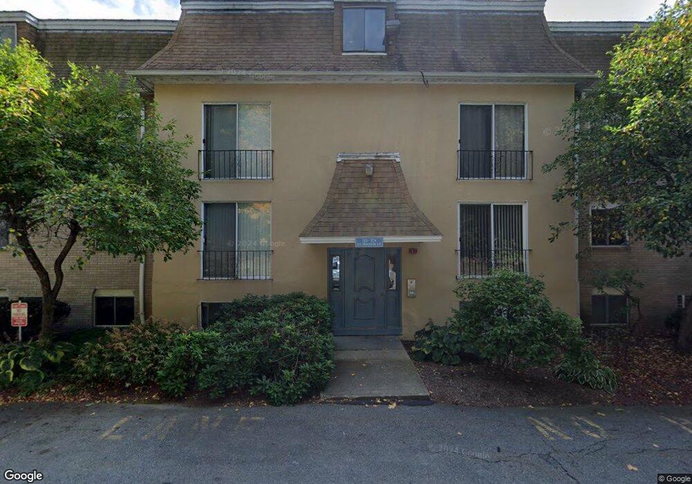
208 Swanson Rd Unit 530 Boxborough, MA 01719
Estimated Value: $182,000 - $273,000
1
Bed
1
Bath
490
Sq Ft
$436/Sq Ft
Est. Value
About This Home
This home is located at 208 Swanson Rd Unit 530, Boxborough, MA 01719 and is currently estimated at $213,846, approximately $436 per square foot. 208 Swanson Rd Unit 530 is a home located in Middlesex County with nearby schools including Acton-Boxborough Regional High School.
Ownership History
Date
Name
Owned For
Owner Type
Purchase Details
Closed on
Sep 14, 2005
Sold by
Scheurman Sandra
Bought by
Haque Albelee
Current Estimated Value
Home Financials for this Owner
Home Financials are based on the most recent Mortgage that was taken out on this home.
Original Mortgage
$86,000
Outstanding Balance
$45,981
Interest Rate
5.84%
Mortgage Type
Purchase Money Mortgage
Estimated Equity
$167,865
Purchase Details
Closed on
Oct 21, 2002
Sold by
Miller Catherine A and Moriarty Catherine A
Bought by
Scheurman Sandra
Home Financials for this Owner
Home Financials are based on the most recent Mortgage that was taken out on this home.
Original Mortgage
$68,000
Interest Rate
6.18%
Mortgage Type
Purchase Money Mortgage
Create a Home Valuation Report for This Property
The Home Valuation Report is an in-depth analysis detailing your home's value as well as a comparison with similar homes in the area
Home Values in the Area
Average Home Value in this Area
Purchase History
| Date | Buyer | Sale Price | Title Company |
|---|---|---|---|
| Haque Albelee | $110,000 | -- | |
| Scheurman Sandra | $85,000 | -- |
Source: Public Records
Mortgage History
| Date | Status | Borrower | Loan Amount |
|---|---|---|---|
| Open | Haque Albelee | $86,000 | |
| Previous Owner | Scheurman Sandra | $68,000 |
Source: Public Records
Tax History Compared to Growth
Tax History
| Year | Tax Paid | Tax Assessment Tax Assessment Total Assessment is a certain percentage of the fair market value that is determined by local assessors to be the total taxable value of land and additions on the property. | Land | Improvement |
|---|---|---|---|---|
| 2025 | $2,592 | $171,200 | $0 | $171,200 |
| 2024 | $2,048 | $136,600 | $0 | $136,600 |
| 2023 | $1,951 | $125,700 | $0 | $125,700 |
| 2022 | $1,878 | $107,800 | $0 | $107,800 |
| 2020 | $1,695 | $101,400 | $0 | $101,400 |
| 2019 | $12,473 | $87,200 | $0 | $87,200 |
| 2018 | $1,373 | $83,500 | $0 | $83,500 |
| 2017 | $1,183 | $70,400 | $0 | $70,400 |
| 2016 | $1,021 | $62,400 | $0 | $62,400 |
| 2015 | $909 | $54,600 | $0 | $54,600 |
| 2014 | $985 | $55,700 | $0 | $55,700 |
Source: Public Records
Map
Nearby Homes
- 220 Swanson Rd Unit 605
- 220 Swanson Rd Unit 606
- 220 Swanson Rd Unit 604
- 53 Swanson Ct Unit 36C
- 50 Spencer Rd Unit 36
- 58 Spencer Rd Unit 18K
- 310 Codman Hill Rd Unit 35D
- 1155 Burroughs Rd
- 139 Picnic St
- 24 Fairbanks St
- 5 Fairbank St
- 63 Leonard Rd Unit 63
- 14 Leonard Rd
- 777 Depot Rd
- 332 Old Littleton Rd
- 87 Ayer Rd
- 14 Pine Hill Way
- 13 Pine Hill Way
- 16 A Pine Hill Way Unit 16AA
- 18 B Pine Hill Way Unit BB
- 208 Swanson Rd Unit 202
- 208 Swanson Rd Unit 536
- 208 Swanson Rd Unit 535
- 208 Swanson Rd Unit 534
- 208 Swanson Rd Unit 533
- 208 Swanson Rd
- 208 Swanson Rd Unit 531
- 208 Swanson Rd Unit 529
- 208 Swanson Rd Unit 528
- 208 Swanson Rd Unit 527
- 208 Swanson Rd Unit 526
- 208 Swanson Rd Unit 525
- 202 Swanson Rd Unit 524
- 202 Swanson Rd Unit 523
- 202 Swanson Rd Unit 522
- 202 Swanson Rd Unit 521
- 202 Swanson Rd Unit 520
- 202 Swanson Rd Unit 519
- 202 Swanson Rd Unit 518
- 202 Swanson Rd Unit 517