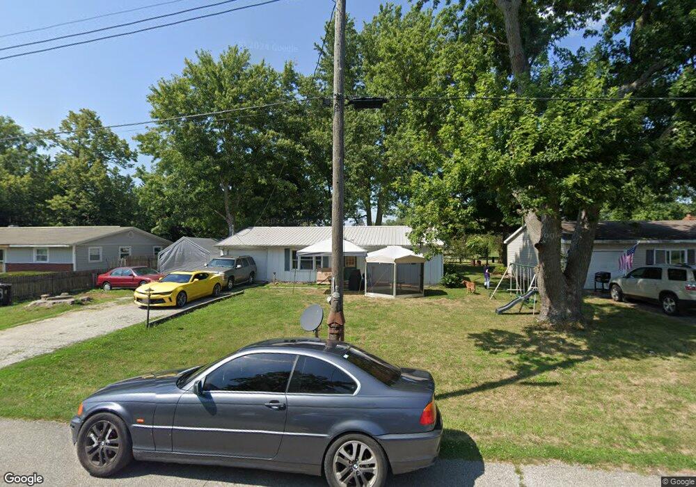
208 W Allen St Kentland, IN 47951
Estimated Value: $126,000 - $153,000
3
Beds
1
Bath
1,256
Sq Ft
$107/Sq Ft
Est. Value
About This Home
This home is located at 208 W Allen St, Kentland, IN 47951 and is currently estimated at $134,267, approximately $106 per square foot. 208 W Allen St is a home located in Newton County with nearby schools including South Newton Elementary School, South Newton Middle School, and South Newton Senior High School.
Ownership History
Date
Name
Owned For
Owner Type
Purchase Details
Closed on
Feb 3, 2021
Sold by
Stanley & Beth Virkler Living Trust
Bought by
Thelma Meeks
Current Estimated Value
Home Financials for this Owner
Home Financials are based on the most recent Mortgage that was taken out on this home.
Interest Rate
2.73%
Purchase Details
Closed on
Nov 21, 2013
Sold by
Stockment Family
Bought by
Virkler Stan
Create a Home Valuation Report for This Property
The Home Valuation Report is an in-depth analysis detailing your home's value as well as a comparison with similar homes in the area
Home Values in the Area
Average Home Value in this Area
Purchase History
| Date | Buyer | Sale Price | Title Company |
|---|---|---|---|
| Thelma Meeks | $59,000 | -- | |
| Virkler Stan | $20,000 | -- |
Source: Public Records
Mortgage History
| Date | Status | Borrower | Loan Amount |
|---|---|---|---|
| Closed | Thelma Meeks | -- |
Source: Public Records
Tax History Compared to Growth
Tax History
| Year | Tax Paid | Tax Assessment Tax Assessment Total Assessment is a certain percentage of the fair market value that is determined by local assessors to be the total taxable value of land and additions on the property. | Land | Improvement |
|---|---|---|---|---|
| 2024 | $391 | $67,700 | $10,400 | $57,300 |
| 2023 | $373 | $62,600 | $10,400 | $52,200 |
| 2022 | $1,677 | $61,000 | $10,400 | $50,600 |
| 2021 | $370 | $49,100 | $9,000 | $40,100 |
| 2020 | $1,033 | $48,300 | $9,600 | $38,700 |
| 2019 | $1,032 | $48,300 | $9,600 | $38,700 |
| 2018 | $1,033 | $48,300 | $9,600 | $38,700 |
| 2017 | $962 | $44,900 | $6,200 | $38,700 |
| 2016 | $970 | $45,300 | $6,200 | $39,100 |
| 2014 | $856 | $42,800 | $6,200 | $36,600 |
| 2013 | $856 | $39,000 | $6,200 | $32,800 |
Source: Public Records
Map
Nearby Homes
- Vacant Land W Allen St
- 218 W Allen St
- 110 W Goss St
- 311 W Allen St
- 315 W Railroad St
- 323 W Graham St
- 111 E Graham St
- 205 E Dunlap St
- 103 E Washington St
- 106 W Washington St
- 106 E Washington St
- 407 N 3rd St
- 105 E Iroquois St
- 408 E Graham St
- 111 E Iroquois St
- 106 N 5th St
- 707 N 3rd St
- 308 E Ray St
- 7104 W 800 N
- 1312 E 1700 S
- 210 W Allen St
- 206 W Allen St
- 209 W Allen St
- 204 W Allen St
- 207 W Allen St
- 213 W Allen St
- 202 W Allen St
- 214 W Allen St
- 202 Water St
- 216 W Allen St
- 207 W Railroad St
- 209 W Railroad St
- 205 W Railroad St
- 211 W Railroad St
- 201 W Allen St
- 219 W Allen St
- 203 W Railroad St
- 104 Water St
- 112 W Allen St
- 203 Water St