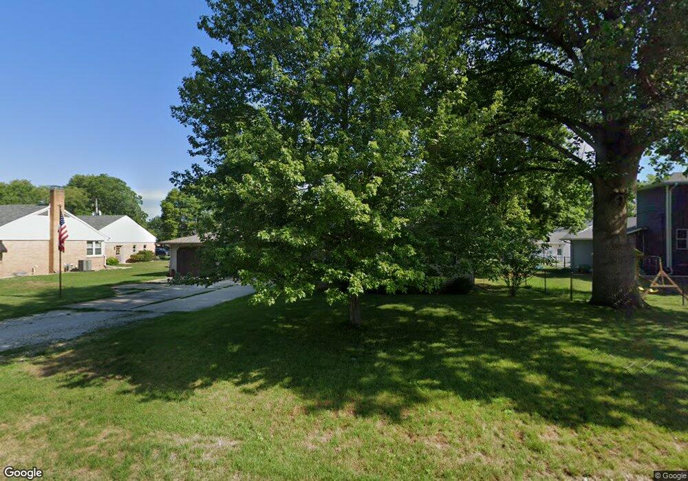
208 W Charles St Mc Lean, IL 61754
Estimated Value: $168,000 - $196,262
--
Bed
1
Bath
1,560
Sq Ft
$117/Sq Ft
Est. Value
About This Home
This home is located at 208 W Charles St, Mc Lean, IL 61754 and is currently estimated at $182,066, approximately $116 per square foot. 208 W Charles St is a home located in McLean County with nearby schools including Olympia High School.
Create a Home Valuation Report for This Property
The Home Valuation Report is an in-depth analysis detailing your home's value as well as a comparison with similar homes in the area
Home Values in the Area
Average Home Value in this Area
Tax History Compared to Growth
Tax History
| Year | Tax Paid | Tax Assessment Tax Assessment Total Assessment is a certain percentage of the fair market value that is determined by local assessors to be the total taxable value of land and additions on the property. | Land | Improvement |
|---|---|---|---|---|
| 2024 | $5,153 | $62,747 | $5,511 | $57,236 |
| 2022 | $4,417 | $50,849 | $4,466 | $46,383 |
| 2021 | $4,127 | $47,885 | $4,206 | $43,679 |
| 2020 | $4,077 | $47,010 | $4,129 | $42,881 |
| 2019 | $4,054 | $47,010 | $4,129 | $42,881 |
| 2018 | $4,050 | $47,010 | $4,129 | $42,881 |
| 2017 | $4,075 | $47,010 | $4,129 | $42,881 |
| 2016 | $3,956 | $46,156 | $4,054 | $42,102 |
| 2015 | $3,793 | $44,686 | $3,925 | $40,761 |
| 2014 | $3,394 | $43,444 | $3,816 | $39,628 |
| 2013 | -- | $43,019 | $3,779 | $39,240 |
Source: Public Records
Map
Nearby Homes
- 2988 N 400 Rd E
- 180 N 400 East Rd
- 1517 W Lake Ct
- 46 N Lake Dr
- Lot 46 E Lake Ct
- 5 Sunnyside Estates
- 7 Sunnyside Estates
- 610 SE Vine St
- 307 N Vine St
- 2322 2000th St
- 8428 N Shirlane St
- 106 W Boundary St
- 305 W Boundary St
- 407 W Boundary St
- 405 W Carter St
- 18 Lincoln St
- 103 Wildflower Point
- 506 Prairie Meadows Dr
- 500 Prairie Meadows Dr
- 608 Prairie Meadows Dr
- 200 W Charles St
- 212 W Charles St
- 200 W Charles St
- 200 W Charles St
- 309 N Blatchford St
- 209 W North St
- 312 N Moore St
- 313 N Blatchford St
- 201 W Charles St
- 300 W Charles St
- 110 W Charles St
- 312 N Blatchford St
- 200 W North St
- 208 W North St
- 208 W North St
- 212 W North St
- 113 W Charles St
- 208 W Spencer St
- 305 W North St
- 302 W North St