208 W Dunlap St Newtown, MO 64667
Estimated Value: $184,000 - $241,808
--
Bed
--
Bath
--
Sq Ft
1
Acres
About This Home
This home is located at 208 W Dunlap St, Newtown, MO 64667 and is currently estimated at $212,904. 208 W Dunlap St is a home located in Sullivan County with nearby schools including Newtown-Harris Elementary School and Newtown-Harris High School.
Ownership History
Date
Name
Owned For
Owner Type
Purchase Details
Closed on
Jan 7, 2022
Sold by
Downard Ridge & Madison
Bought by
Metcalf Darin L and Metcalf Carol L
Current Estimated Value
Purchase Details
Closed on
May 12, 2018
Sold by
Downard Ridge and Downard Madison
Bought by
Downard Ridge and Downard Madison
Purchase Details
Closed on
Aug 28, 2017
Sold by
Wells Lucas
Bought by
Gibson Madison and Downard Ridge
Home Financials for this Owner
Home Financials are based on the most recent Mortgage that was taken out on this home.
Original Mortgage
$42,500
Interest Rate
3.92%
Mortgage Type
Future Advance Clause Open End Mortgage
Create a Home Valuation Report for This Property
The Home Valuation Report is an in-depth analysis detailing your home's value as well as a comparison with similar homes in the area
Home Values in the Area
Average Home Value in this Area
Purchase History
| Date | Buyer | Sale Price | Title Company |
|---|---|---|---|
| Metcalf Darin L | -- | Sullivan County Title | |
| Downard Ridge | -- | -- | |
| Gibson Madison | -- | Hart Abstract & Title |
Source: Public Records
Mortgage History
| Date | Status | Borrower | Loan Amount |
|---|---|---|---|
| Previous Owner | Gibson Madison | $42,500 |
Source: Public Records
Tax History Compared to Growth
Tax History
| Year | Tax Paid | Tax Assessment Tax Assessment Total Assessment is a certain percentage of the fair market value that is determined by local assessors to be the total taxable value of land and additions on the property. | Land | Improvement |
|---|---|---|---|---|
| 2024 | $1,260 | $12,390 | $0 | $0 |
| 2023 | $1,209 | $12,390 | $0 | $0 |
| 2022 | $1,212 | $12,390 | $0 | $0 |
| 2021 | $1,256 | $12,390 | $0 | $0 |
| 2020 | $1,242 | $12,390 | $0 | $0 |
| 2019 | $1,363 | $12,390 | $0 | $0 |
| 2018 | $1,363 | $13,575 | $0 | $0 |
| 2017 | $1,363 | $13,575 | $0 | $0 |
| 2016 | $1,355 | $13,575 | $0 | $0 |
| 2015 | -- | $13,575 | $0 | $0 |
| 2014 | -- | $13,575 | $0 | $0 |
| 2013 | -- | $13,575 | $0 | $0 |
Source: Public Records
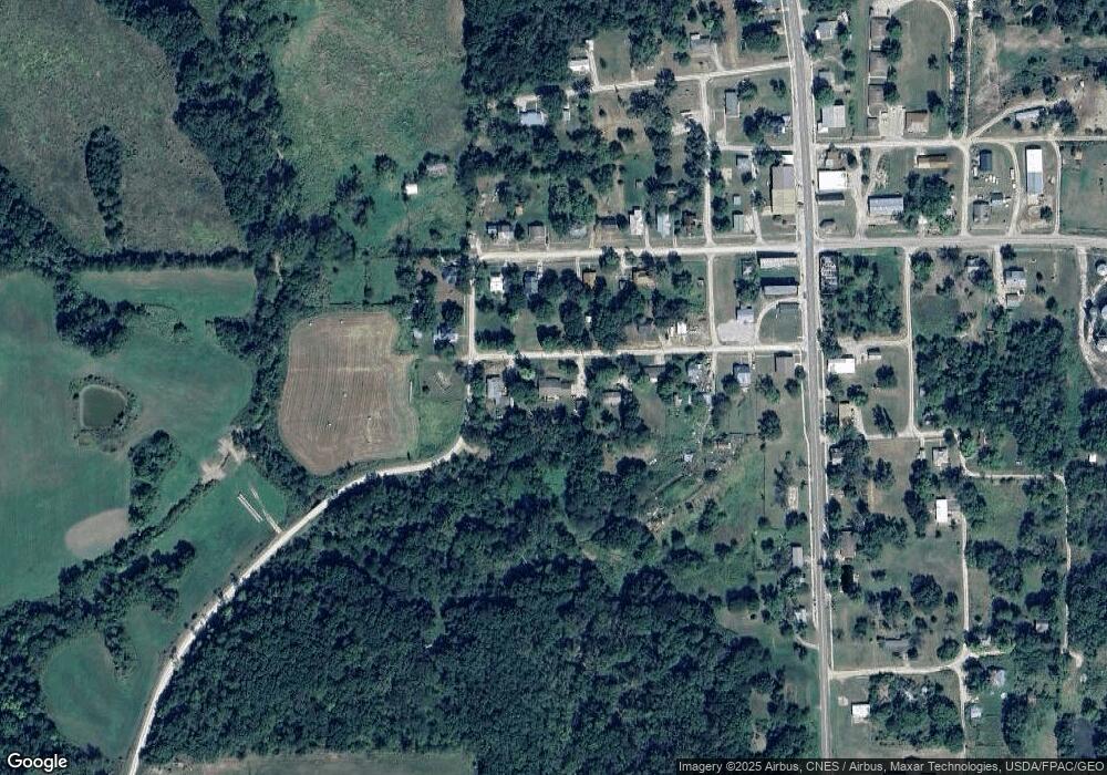
Map
Nearby Homes
- 22494 State Highway 139
- 0 Helmet Rd
- Hazel Rd
- 000 Hazel Rd
- 21696 Hwy Dd Lot 1 Hwy
- Missouri Dd
- 21696 Hwy Dd Hwy
- 26465 Foghorn St
- 0 Coal Dr
- 26033 Foghorn St
- 0 Hwy C Hwy Unit HMS2545692
- 0 Arrow Rd
- 44848 State Hwy E
- Gazell Ave
- 0 W and Tt Hwy Unit 100917
- 110 4th St
- 45869 State Hwy E
- 45869 E Hwy
- 13268 Highway Z
- 0 Highway 65 N A
- 210 W Dunlap St
- 204 W Dunlap St
- 206 W Broadway St
- 206 W Dunlap St
- 201 E Broadway St
- 204 E Broadway St
- 215 W Broadway St
- 211 W Broadway St
- 202 W Broadway St
- 202 W Dunlap St
- 205 W Broadway St
- 208 W Broadway St
- 204 W Broadway St
- 208 W Broadway St
- 208 W Broadway St
- 203 W Broadway St
- 207 W Broadway St
- 209 W Broadway St
- 213 W Broadway St
- 219 W Broadway St