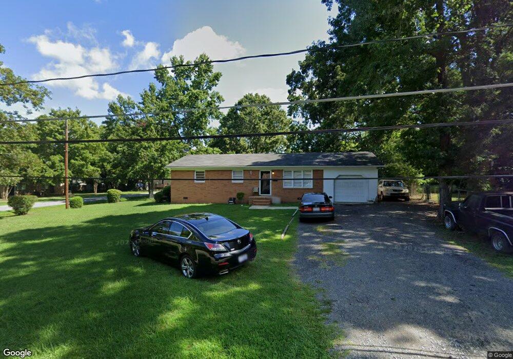
208 W Roosevelt St Mebane, NC 27302
Estimated Value: $212,743 - $239,000
3
Beds
1
Bath
1,040
Sq Ft
$214/Sq Ft
Est. Value
About This Home
This home is located at 208 W Roosevelt St, Mebane, NC 27302 and is currently estimated at $222,186, approximately $213 per square foot. 208 W Roosevelt St is a home located in Alamance County with nearby schools including South Mebane Elementary School, Woodlawn Middle School, and Eastern Alamance High School.
Ownership History
Date
Name
Owned For
Owner Type
Purchase Details
Closed on
Oct 20, 1999
Sold by
Owen David K
Bought by
Fort Macon Investments
Current Estimated Value
Home Financials for this Owner
Home Financials are based on the most recent Mortgage that was taken out on this home.
Original Mortgage
$70,000
Outstanding Balance
$21,265
Interest Rate
7.91%
Estimated Equity
$200,921
Create a Home Valuation Report for This Property
The Home Valuation Report is an in-depth analysis detailing your home's value as well as a comparison with similar homes in the area
Home Values in the Area
Average Home Value in this Area
Purchase History
| Date | Buyer | Sale Price | Title Company |
|---|---|---|---|
| Fort Macon Investments | $72,000 | -- |
Source: Public Records
Mortgage History
| Date | Status | Borrower | Loan Amount |
|---|---|---|---|
| Open | Fort Macon Investments | $70,000 |
Source: Public Records
Tax History Compared to Growth
Tax History
| Year | Tax Paid | Tax Assessment Tax Assessment Total Assessment is a certain percentage of the fair market value that is determined by local assessors to be the total taxable value of land and additions on the property. | Land | Improvement |
|---|---|---|---|---|
| 2025 | $1,432 | $165,796 | $42,500 | $123,296 |
| 2024 | $1,391 | $165,796 | $42,500 | $123,296 |
| 2023 | $1,330 | $165,796 | $42,500 | $123,296 |
| 2022 | $1,051 | $94,307 | $29,750 | $64,557 |
| 2021 | $1,060 | $94,307 | $29,750 | $64,557 |
| 2020 | $1,070 | $94,307 | $29,750 | $64,557 |
| 2019 | $1,075 | $94,307 | $29,750 | $64,557 |
| 2018 | $0 | $94,307 | $29,750 | $64,557 |
| 2017 | $990 | $94,307 | $29,750 | $64,557 |
| 2016 | $933 | $87,226 | $25,500 | $61,726 |
| 2015 | $503 | $87,226 | $25,500 | $61,726 |
| 2014 | -- | $87,226 | $25,500 | $61,726 |
Source: Public Records
Map
Nearby Homes
- 0 Dyson Dr Unit TBD Dyson 2519207
- 415 S Third St
- 413 Mckinley Place
- 213 Beauregard Ln
- 308 W Jackson St
- 456 Stonewall Dr
- 605 Roosevelt St
- 421 W Holt St
- 619 S Fifth St
- 106 Circle Dr
- 104 E Wilson St
- 714 W Mckinley St
- 0 Roosevelt St
- Lot# 2 Highway 70 E
- 1005 Stuart Dr
- 421 E Webb St
- 402 W Clay St
- 0 E Webb St
- 0 S Fifth St
- # 0 S Fifth St
- 206 W Roosevelt St
- 603 S Second St
- 209 W Roosevelt St
- 301 W Austin St
- 601 S Second St
- 303 W Austin St
- 512 S Third St
- 514 S Third St
- 700 S Second St
- 507 S Second St
- 510 S Third St
- 305 W Austin St
- 508 S Third St
- 303 W Roosevelt St
- 505 S Second St
- 703 S Second St
- 201 W Roosevelt St
- 300 W Austin St
- 506 S Third St
- 302 W Austin St