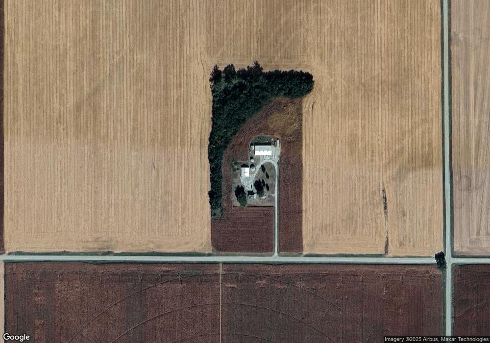
2080 E Rd West Point, NE 68788
Estimated Value: $286,000 - $489,000
3
Beds
2
Baths
1,492
Sq Ft
$243/Sq Ft
Est. Value
About This Home
This home is located at 2080 E Rd, West Point, NE 68788 and is currently estimated at $362,592, approximately $243 per square foot. 2080 E Rd is a home located in Cuming County with nearby schools including West Point-Beemer Junior/Senior High School.
Ownership History
Date
Name
Owned For
Owner Type
Purchase Details
Closed on
Jul 25, 2016
Sold by
Kreikemeier Abby and Kreikemeier Jason
Bought by
Wiechman Andrew J and Wiechman Kelly A
Current Estimated Value
Home Financials for this Owner
Home Financials are based on the most recent Mortgage that was taken out on this home.
Original Mortgage
$209,000
Outstanding Balance
$182,442
Interest Rate
3.5%
Mortgage Type
USDA
Estimated Equity
$180,150
Purchase Details
Closed on
Aug 5, 2005
Sold by
Hein Ruth G and Hein Fred P
Bought by
Dahlgren Darrell C and Miller Dahlgren Jodylynn
Home Financials for this Owner
Home Financials are based on the most recent Mortgage that was taken out on this home.
Original Mortgage
$122,455
Interest Rate
8.55%
Mortgage Type
Adjustable Rate Mortgage/ARM
Create a Home Valuation Report for This Property
The Home Valuation Report is an in-depth analysis detailing your home's value as well as a comparison with similar homes in the area
Purchase History
| Date | Buyer | Sale Price | Title Company |
|---|---|---|---|
| Wiechman Andrew J | -- | None Available | |
| Dahlgren Darrell C | $129,000 | -- |
Source: Public Records
Mortgage History
| Date | Status | Borrower | Loan Amount |
|---|---|---|---|
| Open | Wiechman Andrew J | $209,000 | |
| Previous Owner | Dahlgren Darrell C | $122,455 |
Source: Public Records
Tax History
| Year | Tax Paid | Tax Assessment Tax Assessment Total Assessment is a certain percentage of the fair market value that is determined by local assessors to be the total taxable value of land and additions on the property. | Land | Improvement |
|---|---|---|---|---|
| 2025 | $1,379 | $252,025 | $121,885 | $130,140 |
| 2024 | $1,379 | $228,460 | $110,305 | $118,155 |
| 2023 | $1,949 | $216,270 | $99,465 | $116,805 |
| 2022 | $1,854 | $188,105 | $85,260 | $102,845 |
| 2021 | $1,753 | $176,025 | $88,085 | $87,940 |
| 2020 | $1,672 | $170,375 | $92,355 | $78,020 |
| 2019 | $1,632 | $162,815 | $92,145 | $70,670 |
| 2018 | $1,667 | $168,100 | $94,460 | $73,640 |
| 2017 | $1,582 | $154,390 | $85,425 | $68,965 |
| 2016 | $1,568 | $146,535 | $81,650 | $64,885 |
| 2015 | $1,627 | $139,510 | $74,565 | $64,945 |
| 2014 | $1,336 | $123,935 | $64,365 | $59,570 |
| 2013 | $1,336 | $94,310 | $32,830 | $61,480 |
Source: Public Records
Map
Nearby Homes
Your Personal Tour Guide
Ask me questions while you tour the home.