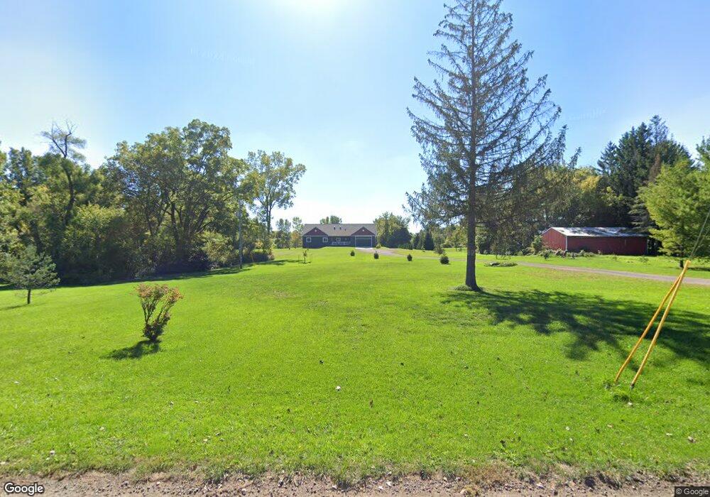
2080 E Stoll Rd Lansing, MI 48906
Estimated Value: $282,000 - $441,811
3
Beds
2
Baths
1,668
Sq Ft
$201/Sq Ft
Est. Value
About This Home
This home is located at 2080 E Stoll Rd, Lansing, MI 48906 and is currently estimated at $334,453, approximately $200 per square foot. 2080 E Stoll Rd is a home located in Clinton County with nearby schools including Gier Park School, Pattengill Academy, and Eastern High School.
Ownership History
Date
Name
Owned For
Owner Type
Purchase Details
Closed on
Sep 28, 2023
Sold by
Yarsevich Carl and Decker Kevin
Bought by
Carl Yarsevich Iii Trust and Yarsevich
Current Estimated Value
Purchase Details
Closed on
Oct 9, 2017
Sold by
Decker Kevin and Decker Leah
Bought by
Decker Kevin and Decker Leah
Purchase Details
Closed on
Nov 7, 2014
Sold by
Wells Fargo Bank Na
Bought by
Decker Kevin and Decker Leah Marie
Purchase Details
Closed on
Feb 26, 2014
Sold by
Gonzales Ramon and Gonzales Augustina E
Bought by
Wells Fargo Bank Na
Create a Home Valuation Report for This Property
The Home Valuation Report is an in-depth analysis detailing your home's value as well as a comparison with similar homes in the area
Home Values in the Area
Average Home Value in this Area
Purchase History
| Date | Buyer | Sale Price | Title Company |
|---|---|---|---|
| Carl Yarsevich Iii Trust | -- | None Listed On Document | |
| Decker Kevin | -- | None Available | |
| Decker Kevin | $45,000 | Premium Title Services Inc | |
| Wells Fargo Bank Na | $52,848 | None Available |
Source: Public Records
Tax History
| Year | Tax Paid | Tax Assessment Tax Assessment Total Assessment is a certain percentage of the fair market value that is determined by local assessors to be the total taxable value of land and additions on the property. | Land | Improvement |
|---|---|---|---|---|
| 2025 | $5,610 | $199,400 | $33,600 | $165,800 |
| 2024 | $37 | $176,800 | $31,300 | $145,500 |
| 2023 | $3,509 | $160,400 | $0 | $0 |
| 2022 | $5,112 | $154,200 | $28,300 | $125,900 |
| 2021 | $4,926 | $143,800 | $27,900 | $115,900 |
| 2020 | $4,869 | $139,500 | $28,600 | $110,900 |
| 2019 | $4,649 | $132,300 | $0 | $0 |
| 2018 | $3,256 | $92,200 | $25,200 | $67,000 |
| 2017 | $1,452 | $48,200 | $23,900 | $24,300 |
| 2016 | $1,244 | $37,900 | $22,600 | $15,300 |
| 2015 | $1,832 | $36,800 | $0 | $0 |
| 2011 | -- | $40,100 | $0 | $0 |
Source: Public Records
Map
Nearby Homes
- 1901 E Stoll Rd
- 605 Galahad Dr Unit 374
- 15378 Chetwyn Dr
- 606 Eastgate Dr Unit 384
- 107 Normandy Dr Unit 100
- 108 Normandy Dr Unit 77
- 14150 Wood Rd
- 15710 Oak Lane Dr
- 210 Saint Ives N
- 220 Saint Ives N
- 15860 Brook Rd
- E State Rd
- 1015 Pearl St
- 420 Blenheim Place
- 14103 Ambrosia Ave
- 15897 Elmira St
- 14211 Myers Rd
- 1230 W Wieland Rd
- 14065 Pristine Ct
- 14070 Pristine Ct
Your Personal Tour Guide
Ask me questions while you tour the home.