2080 E Stoll Rd Lansing, MI 48906
Dewitt AreaEstimated Value: $288,000 - $468,311
About This Home
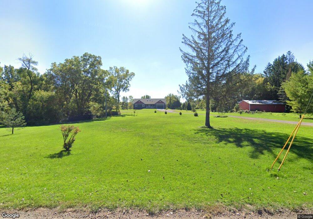
This home is located at 2080 E Stoll Rd, Lansing, MI 48906 and is currently estimated at $404,828, approximately $242 per square foot. 2080 E Stoll Rd is a home located in Clinton County with nearby schools including Pattengill Academy, Gier Park School, and Eastern High School.
Ownership History
We collect this data history from publicly available records. To have your information removed, we recommend requesting removal directly through your county’s website.
Purchase Details
Purchase Details
Purchase Details
Purchase Details
Home Values in the Area
Average Home Value in this Area
Purchase History
We collect this data history from publicly available records. To have your information removed, we recommend requesting removal directly through your county’s website.
| Date | Buyer | Sale Price | Title Company |
|---|---|---|---|
| -- | None Listed On Document | ||
| -- | None Available | ||
| $45,000 | Premium Title Services Inc | ||
| $52,848 | None Available |
Mortgage History
We collect this data history from publicly available records. To have your information removed, we recommend requesting removal directly through your county’s website.
| Date | Status | Borrower | Loan Amount |
|---|---|---|---|
| Previous Owner | $100,000 | ||
| Previous Owner | $55,000 | ||
| Previous Owner | $34,500 |
Tax History
We collect this data history from publicly available records. To have your information removed, we recommend requesting removal directly through your county’s website.
| Year | Tax Paid | Tax Assessment Tax Assessment Total Assessment is a certain percentage of the fair market value that is determined by local assessors to be the total taxable value of land and additions on the property. | Land | Improvement |
|---|---|---|---|---|
| 2026 | $3,804 | $215,900 | $36,400 | $179,500 |
| 2025 | $3,804 | $199,400 | $33,600 | $165,800 |
| 2024 | $37 | $176,800 | $31,300 | $145,500 |
| 2023 | $3,509 | $160,400 | $0 | $0 |
| 2022 | $5,112 | $154,200 | $28,300 | $125,900 |
| 2021 | $4,926 | $143,800 | $27,900 | $115,900 |
| 2020 | $4,869 | $139,500 | $28,600 | $110,900 |
| 2019 | $4,649 | $132,300 | $0 | $0 |
| 2018 | $3,256 | $92,200 | $25,200 | $67,000 |
| 2017 | $1,452 | $48,200 | $23,900 | $24,300 |
| 2016 | $1,244 | $37,900 | $22,600 | $15,300 |
| 2015 | $1,832 | $36,800 | $0 | $0 |
| 2011 | -- | $40,100 | $0 | $0 |
Map
- 15100 Glencrest Dr
- 605 Galahad Dr Unit 374
- 107 Normandy Dr Unit 100
- 108 Normandy Dr Unit 77
- 14150 Wood Rd
- 14120 Wood Rd
- 2225 E State Rd
- 15710 Oak Lane Dr
- 0 E State Rd Unit 297256
- 15136 Via Carmella Dr
- E State Rd
- 1014 Pearl St
- 1345 W Stoll Rd
- 624 Aquila Dr Unit 13
- 229 Cadgewith E
- 613 Ibis Cir
- 14103 Ambrosia Ave
- 4108 Palomino Dr
- 14054 Ambrosia Ave
- 14065 Pristine Ct
- 2042 E Stoll Rd
- 2030 E Stoll Rd
- 15047 Wood Rd
- 15055 Wood Rd
- 14897 Wood Rd
- 15075 Wood Rd
- 2139 E Stoll Rd
- 1980 E Stoll Rd
- 1980 E Stoll Rd
- 1979 Sunnymede Ln
- 15085 Wood Rd
- 1987 E Stoll Rd
- 1986 Sunnymede Ln
- 15095 Wood Rd
- 1960 E Stoll Rd
- 1961 Sunnymede Ln
- 1973 E Stoll Rd
- 2140 E Stoll Rd
- 1962 Sunnymede Ln
- 1959 E Stoll Rd
Ask me questions while you tour the home.