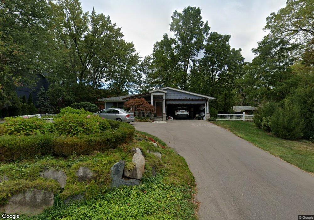
2080 Langham Dr West Bloomfield, MI 48323
Estimated Value: $429,000 - $492,000
3
Beds
2
Baths
1,622
Sq Ft
$288/Sq Ft
Est. Value
About This Home
This home is located at 2080 Langham Dr, West Bloomfield, MI 48323 and is currently estimated at $466,567, approximately $287 per square foot. 2080 Langham Dr is a home located in Oakland County with nearby schools including Wylie E. Groves High School, West Maple Elementary School, and Berkshire Middle School.
Ownership History
Date
Name
Owned For
Owner Type
Purchase Details
Closed on
Oct 7, 2022
Sold by
Basler Frank and Basler Cindy
Bought by
Connie L Griffin Agreement Of Trust
Current Estimated Value
Purchase Details
Closed on
Jul 19, 2013
Sold by
Horner Todd P and Horner Burkhart
Bought by
Basler Frank and Basler Cindy
Purchase Details
Closed on
Feb 28, 2001
Sold by
Boyd Mary Lee
Bought by
Horner Todd
Home Financials for this Owner
Home Financials are based on the most recent Mortgage that was taken out on this home.
Original Mortgage
$176,000
Interest Rate
7.13%
Purchase Details
Closed on
Sep 12, 2000
Sold by
Boyd Mary L
Bought by
Boyd Mary L
Create a Home Valuation Report for This Property
The Home Valuation Report is an in-depth analysis detailing your home's value as well as a comparison with similar homes in the area
Home Values in the Area
Average Home Value in this Area
Purchase History
| Date | Buyer | Sale Price | Title Company |
|---|---|---|---|
| Connie L Griffin Agreement Of Trust | $425,000 | First American Title | |
| Connie L Griffin Agreement Of Trust | $425,000 | First American Title | |
| Basler Frank | $185,000 | Title Source | |
| Horner Todd | $220,000 | -- | |
| Boyd Mary L | -- | -- |
Source: Public Records
Mortgage History
| Date | Status | Borrower | Loan Amount |
|---|---|---|---|
| Previous Owner | Horner Todd | $176,000 |
Source: Public Records
Tax History Compared to Growth
Tax History
| Year | Tax Paid | Tax Assessment Tax Assessment Total Assessment is a certain percentage of the fair market value that is determined by local assessors to be the total taxable value of land and additions on the property. | Land | Improvement |
|---|---|---|---|---|
| 2024 | $3,709 | $178,370 | $0 | $0 |
| 2022 | $3,701 | $174,540 | $72,230 | $102,310 |
| 2021 | $5,052 | $165,230 | $0 | $0 |
| 2020 | $2,874 | $163,080 | $72,230 | $90,850 |
| 2018 | $4,980 | $151,870 | $59,310 | $92,560 |
| 2015 | -- | $126,050 | $0 | $0 |
| 2014 | -- | $118,750 | $0 | $0 |
| 2011 | -- | $125,960 | $0 | $0 |
Source: Public Records
Map
Nearby Homes
- 5620 Inkster Rd
- 5620 Eastman Blvd
- 0000 Putnam Dr
- 2149 Sunnycrest Dr
- 4783 Quarton Rd
- 5118 Vincennes Ct
- 5605 Woodwind Dr
- 5881 Naneva Ct
- 4776 Walnut Lake Rd
- 4768 Wendrick Dr
- 5611 Priory Ln
- 5897 Sutters Ln
- 4724 Tara Ct
- 5815 Bloomfield Glens Rd
- 1907 Raymond Place
- 4597 Broughton Dr
- 4603 Hedgewood Dr
- 6420 Apple Grove Ln Unit 10
- 1651 Hoit Tower Dr
- 5190 Clarendon Crest St
- 2092 Langham Dr
- 2073 Lakeshire Dr
- 2098 Langham Dr
- 2104 Langham Dr
- 5544 Inkster Rd
- 2075 Langham Dr
- 2071 Lakeshire Dr
- 2075 Lakeshire Dr
- 2089 Langham Dr
- 2071 Langham Dr
- 5550 Inkster Rd
- 2081 Lakeshire Dr
- 2065 Lakeshire Dr
- 2119 Langham Dr
- 5520 Inkster Rd
- 2120 Langham Dr
- 2066 Lakeshire Dr
- 5590 Inkster Rd
- 2091 Lakeshire Dr
- 2127 Langham Dr