2080 Mikes Rd Conway, SC 29526
Estimated Value: $318,000 - $476,315
3
Beds
2
Baths
1,716
Sq Ft
$231/Sq Ft
Est. Value
About This Home
This home is located at 2080 Mikes Rd, Conway, SC 29526 and is currently estimated at $397,079, approximately $231 per square foot. 2080 Mikes Rd is a home located in Horry County with nearby schools including Waccamaw Elementary School, Black Water Middle School, and Carolina Forest High School.
Ownership History
Date
Name
Owned For
Owner Type
Purchase Details
Closed on
Mar 19, 2008
Sold by
Goude Linda F and Goude Laurice M
Bought by
Wallace Emily C and Wallace Perry W
Current Estimated Value
Purchase Details
Closed on
Dec 26, 2001
Sold by
Mackne Goude Linda F and Mackne Laurice
Bought by
Goude Linda F and Goude Laurice M
Create a Home Valuation Report for This Property
The Home Valuation Report is an in-depth analysis detailing your home's value as well as a comparison with similar homes in the area
Home Values in the Area
Average Home Value in this Area
Purchase History
| Date | Buyer | Sale Price | Title Company |
|---|---|---|---|
| Wallace Emily C | $160,000 | -- | |
| Goude Linda F | -- | -- |
Source: Public Records
Tax History Compared to Growth
Tax History
| Year | Tax Paid | Tax Assessment Tax Assessment Total Assessment is a certain percentage of the fair market value that is determined by local assessors to be the total taxable value of land and additions on the property. | Land | Improvement |
|---|---|---|---|---|
| 2024 | $955 | $20,912 | $7,828 | $13,084 |
| 2023 | $955 | $8,190 | $2,002 | $6,188 |
| 2021 | $864 | $11,957 | $2,141 | $9,816 |
| 2020 | $757 | $11,957 | $2,141 | $9,816 |
| 2019 | $757 | $11,957 | $2,141 | $9,816 |
| 2018 | $682 | $7,122 | $1,766 | $5,356 |
| 2017 | $667 | $7,122 | $1,766 | $5,356 |
| 2016 | -- | $7,122 | $1,766 | $5,356 |
| 2015 | $667 | $7,122 | $1,766 | $5,356 |
| 2014 | $616 | $7,122 | $1,766 | $5,356 |
Source: Public Records
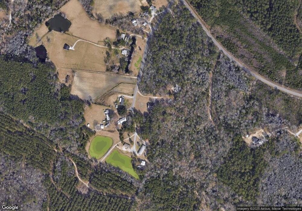
Map
Nearby Homes
- 2143 Lonzy Ln
- 408 Carmello Cir
- 388 Carmello Cir
- 383 Carmello Cir
- 2027 Lees Landing Cir
- 2031 Lees Landing Cir
- 2080 Highway 90
- 240 Carmello Cir
- 1351 Highway 90
- 2520 Suzanne Dr
- 1342 Highway 90 Unit Lot 2
- 1342 Highway 90 Unit All Lots
- 1342 Highway 90 Unit Lot 3
- 1191 Highway 90
- 1956 Lees Landing Cir
- 2108 Lees Landing Cir
- 1310 Boswell Ct Unit Boswell Ct
- 275 Waccamaw River Dr
- 804 Lambeth Ln
- 1342 S Carolina 90 Unit Lot 1
- 2055 Mikes Rd
- 2113 Mikes Rd
- 1389 Burriss Rd
- 2790 Lees Landing Cir
- Lees Landing Cir Unit 4 Acres 1013134
- Lees Landing Cir
- 2784 Lees Landing Cir
- 1421 Burriss Rd
- 1359 Burriss Rd
- 2110 Hazel Rd
- 1416 Burriss Rd
- 1367 Burriss Rd
- 1410 Burriss Rd
- 1410 Burriss Rd Unit 1410 Burriss Rd
- 1470 Burris Rd
- 1351 Burriss Rd
- 1438 Burriss Rd
- 1432 Burriss Rd
- 2835 Lees Landing Cir
- 1350 Burriss Rd