2080 Riverside Rd Roswell, GA 30076
Martin's Landing NeighborhoodEstimated Value: $690,617 - $837,000
3
Beds
4
Baths
2,994
Sq Ft
$252/Sq Ft
Est. Value
About This Home
This home is located at 2080 Riverside Rd, Roswell, GA 30076 and is currently estimated at $755,206, approximately $252 per square foot. 2080 Riverside Rd is a home located in Fulton County with nearby schools including Jackson Elementary School, Holcomb Bridge Middle School, and Centennial High School.
Ownership History
Date
Name
Owned For
Owner Type
Purchase Details
Closed on
Jul 2, 2025
Sold by
Carroll Karen
Bought by
Carroll Karen M Trust and Carroll Karen M Tr
Current Estimated Value
Purchase Details
Closed on
Dec 4, 2006
Sold by
Hawn Chelle
Bought by
Carroll Karen
Purchase Details
Closed on
Jun 2, 2004
Sold by
Barbalace Gloria H
Bought by
Hawn Helle
Create a Home Valuation Report for This Property
The Home Valuation Report is an in-depth analysis detailing your home's value as well as a comparison with similar homes in the area
Home Values in the Area
Average Home Value in this Area
Purchase History
| Date | Buyer | Sale Price | Title Company |
|---|---|---|---|
| Carroll Karen M Trust | -- | -- | |
| Carroll Karen | $513,000 | -- | |
| Hawn Helle | $399,900 | -- |
Source: Public Records
Tax History Compared to Growth
Tax History
| Year | Tax Paid | Tax Assessment Tax Assessment Total Assessment is a certain percentage of the fair market value that is determined by local assessors to be the total taxable value of land and additions on the property. | Land | Improvement |
|---|---|---|---|---|
| 2025 | $934 | $218,880 | $51,520 | $167,360 |
| 2023 | $6,533 | $231,440 | $51,520 | $179,920 |
| 2022 | $4,073 | $231,440 | $51,520 | $179,920 |
| 2021 | $4,837 | $224,720 | $50,040 | $174,680 |
| 2020 | $4,911 | $222,080 | $49,440 | $172,640 |
| 2019 | $804 | $218,120 | $48,560 | $169,560 |
| 2018 | $4,144 | $158,920 | $25,160 | $133,760 |
| 2017 | $4,111 | $152,840 | $24,200 | $128,640 |
| 2016 | $4,110 | $152,840 | $24,200 | $128,640 |
| 2015 | $4,953 | $152,840 | $24,200 | $128,640 |
| 2014 | $4,279 | $152,840 | $24,200 | $128,640 |
Source: Public Records
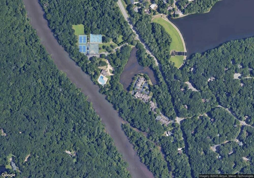
Map
Nearby Homes
- 0 Riverside Rd Unit 10339509
- 0 Riverside Rd Unit 7421838
- 1155 Northshore Dr
- 1140 Northshore Dr
- 1045 Martin Ridge Rd
- 510 Watergate Ct
- 8846 Long Beach Cir
- 502 Brandywine Cir
- 545 Woodman Place Unit 83
- 415 Cliffcove Ct
- 303 Brandywine Cir Unit 303
- 1595 Northcliff Trace
- 206 River Run Dr
- 907 River Run Dr Unit 907
- 104 River Run Dr
- 230 Lakeview Ridge E
- 408 River Run Dr
- 130 Lakeview Ridge W
- 2020 Rivermont Alley
- 2080 Riverside Rd Unit 2080
- 2070 Riverside Rd
- 2070 Riverside Rd Unit 2070
- 2090 Riverside Rd
- 2060 Riverside Rd
- 3000 Riverside Rd
- 3000 Riverside Rd Unit 3000
- 3000 Riverside Rd
- 2050 Riverside Rd
- 3020 Riverside Rd
- 3020 Riverside Rd Unit 3020
- 2040 Riverside Rd
- 2020 Riverside Rd Unit 2020
- 2020 Riverside Rd Unit N/A
- 2020 Riverside Rd
- 2030 Riverside Rd
- 1090 Riverside Rd
- 1090 Riverside Rd Unit 10
- 1080 Riverside Rd
- 2000 Riverside Rd