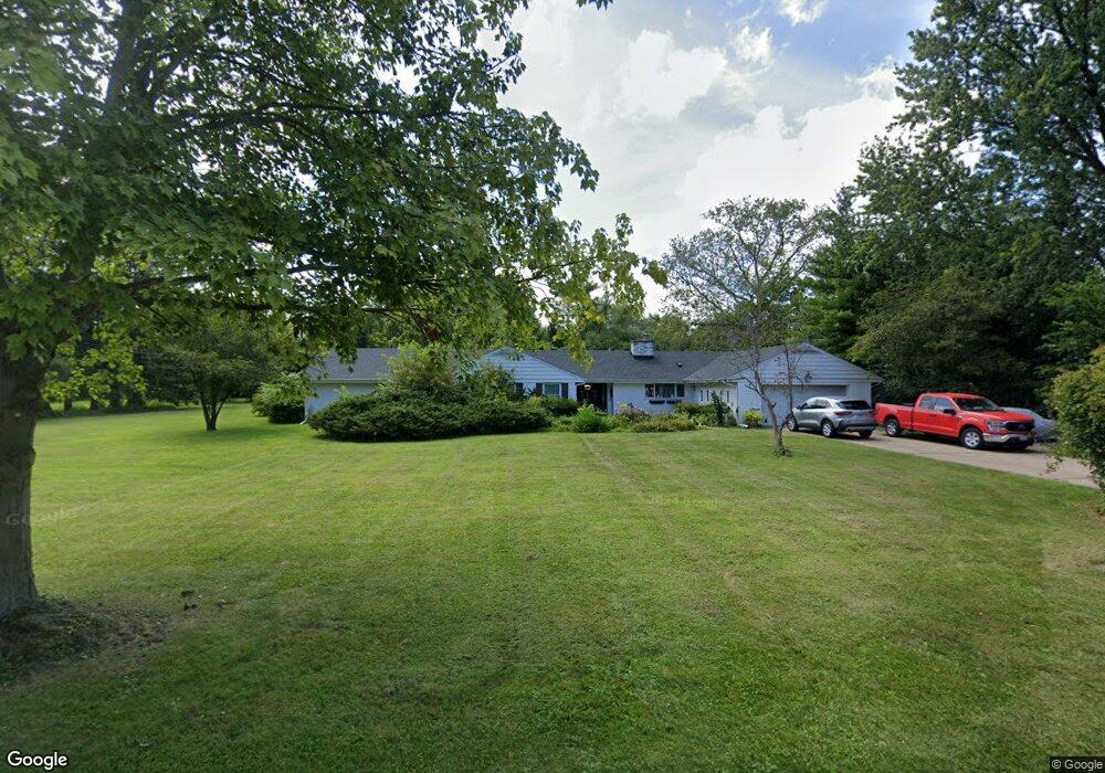
2080 Stirling Rd Bannockburn, IL 60015
Estimated Value: $914,000 - $1,012,000
4
Beds
4
Baths
2,792
Sq Ft
$342/Sq Ft
Est. Value
About This Home
This home is located at 2080 Stirling Rd, Bannockburn, IL 60015 and is currently estimated at $955,790, approximately $342 per square foot. 2080 Stirling Rd is a home located in Lake County with nearby schools including Bannockburn School and Deerfield High School.
Ownership History
Date
Name
Owned For
Owner Type
Purchase Details
Closed on
Jul 22, 2013
Sold by
Pedersen Richard
Bought by
Pedersen Richard and Pedersen Christine
Current Estimated Value
Purchase Details
Closed on
Oct 10, 2001
Sold by
Pedersen Robert and Pedersen Thomas
Bought by
Pedersen Richard
Create a Home Valuation Report for This Property
The Home Valuation Report is an in-depth analysis detailing your home's value as well as a comparison with similar homes in the area
Home Values in the Area
Average Home Value in this Area
Purchase History
| Date | Buyer | Sale Price | Title Company |
|---|---|---|---|
| Pedersen Richard | -- | None Available | |
| Pedersen Richard | $610,000 | -- |
Source: Public Records
Tax History
| Year | Tax Paid | Tax Assessment Tax Assessment Total Assessment is a certain percentage of the fair market value that is determined by local assessors to be the total taxable value of land and additions on the property. | Land | Improvement |
|---|---|---|---|---|
| 2024 | $13,995 | $213,979 | $106,957 | $107,022 |
| 2023 | $12,626 | $205,354 | $102,646 | $102,708 |
| 2022 | $12,626 | $178,756 | $114,721 | $64,035 |
| 2021 | $11,952 | $172,344 | $110,606 | $61,738 |
| 2020 | $11,640 | $172,707 | $110,839 | $61,868 |
| 2019 | $11,173 | $172,414 | $110,651 | $61,763 |
| 2018 | $13,874 | $202,928 | $117,282 | $85,646 |
| 2017 | $13,860 | $202,281 | $116,908 | $85,373 |
| 2016 | $13,746 | $194,632 | $112,487 | $82,145 |
| 2015 | $13,393 | $182,873 | $105,691 | $77,182 |
| 2014 | $13,037 | $172,378 | $106,448 | $65,930 |
| 2012 | $12,803 | $170,857 | $105,509 | $65,348 |
Source: Public Records
Map
Nearby Homes
- 1380 Valley Rd
- 1800 Telegraph Rd
- 1525 Hawthorne Place
- 11644 Elmwood Place
- 23276 N Birchwood Ln
- 1165 Linden Ave
- 1839 Shelley Ct
- 1285 Montgomery Dr
- 11 Lakewood Dr
- 1423 Northwoods Rd
- 1959 Windridge Dr
- 1054 Broadmoor Place
- 938 Hemlock St
- 127 Camden Ct
- 1030 Chestnut St
- 1211 Norman Ln
- 926 Cedar St
- 1725 Lilly Ct
- 2325 Shady Ln
- 0 Highmoor Rd Unit MRD12402785
- 2100 Stirling Rd
- 2040 Stirling Rd
- 2105 Telegraph Rd
- 2125 Telegraph Rd
- 2095 Telegraph Rd
- 0 Audubon Ln Unit 9600366
- 0 Audubon Ln Unit MRD12197469
- 0 Audubon Ln Unit MRD12158080
- 0 Audubon Ln Unit MRD11957968
- 0 Audubon Ln Unit MRD11879301
- 0 Audubon Ln Unit MRD11765591
- 0 Audubon Ln Unit MRD11688277
- 0 Audubon Ln Unit 10883665
- 0 Audubon Ln Unit 10614777
- 0 Audubon Ln Unit 10271262
- 2131 Stirling Rd
- 2105 Stirling Rd
- 2005 Stirling Rd
- 1200 Valley Rd
- 2100 Telegraph Rd