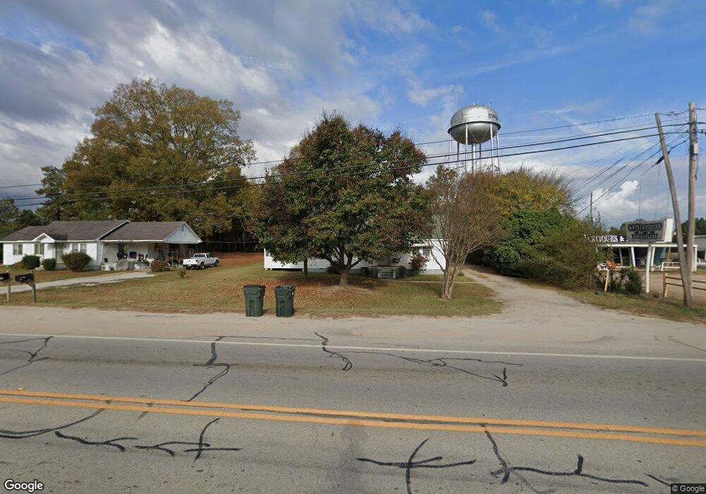
2080 Union Point Hwy Greensboro, GA 30642
Estimated Value: $171,082 - $252,000
3
Beds
2
Baths
1,114
Sq Ft
$198/Sq Ft
Est. Value
About This Home
This home is located at 2080 Union Point Hwy, Greensboro, GA 30642 and is currently estimated at $220,021, approximately $197 per square foot. 2080 Union Point Hwy is a home located in Greene County with nearby schools including Greene County High School.
Ownership History
Date
Name
Owned For
Owner Type
Purchase Details
Closed on
Aug 23, 2023
Sold by
Paulk Dana Jean
Bought by
Paulk Family Trust and Paulk Dana Jean
Current Estimated Value
Purchase Details
Closed on
Jul 24, 2018
Sold by
Yearwood Zachary Lee
Bought by
Paulk Dana Jean
Purchase Details
Closed on
Jul 18, 2018
Sold by
Yearwood Jackson Taylor
Bought by
Paulk Dana Jean
Purchase Details
Closed on
Mar 19, 2002
Sold by
Carter Milford R
Bought by
Yearwood Michael L
Purchase Details
Closed on
Oct 15, 1999
Sold by
Cawthon Hallie L
Bought by
Carter Milford R
Purchase Details
Closed on
Jan 1, 1981
Sold by
Edwards Kathy
Bought by
Cawthon Hallie L
Purchase Details
Closed on
Jan 1, 1979
Sold by
Bedsole John W
Bought by
Edwards Kathy
Purchase Details
Closed on
Jan 1, 1964
Bought by
Bedsole John W
Create a Home Valuation Report for This Property
The Home Valuation Report is an in-depth analysis detailing your home's value as well as a comparison with similar homes in the area
Home Values in the Area
Average Home Value in this Area
Purchase History
| Date | Buyer | Sale Price | Title Company |
|---|---|---|---|
| Paulk Family Trust | -- | -- | |
| Paulk Dana Jean | -- | -- | |
| Paulk Dana Jean | -- | -- | |
| Paulk Dana Jean | -- | -- | |
| Yearwood Michael L | $18,800 | -- | |
| Carter Milford R | $25,000 | -- | |
| Cawthon Hallie L | -- | -- | |
| Edwards Kathy | -- | -- | |
| Bedsole John W | -- | -- |
Source: Public Records
Tax History Compared to Growth
Tax History
| Year | Tax Paid | Tax Assessment Tax Assessment Total Assessment is a certain percentage of the fair market value that is determined by local assessors to be the total taxable value of land and additions on the property. | Land | Improvement |
|---|---|---|---|---|
| 2024 | $921 | $33,000 | $13,600 | $19,400 |
| 2023 | $730 | $32,636 | $13,600 | $19,036 |
| 2022 | $611 | $25,520 | $8,000 | $17,520 |
| 2021 | $600 | $23,720 | $8,000 | $15,720 |
| 2020 | $373 | $10,320 | $5,080 | $5,240 |
| 2019 | $382 | $10,320 | $5,080 | $5,240 |
| 2018 | $318 | $10,320 | $5,080 | $5,240 |
| 2017 | $307 | $10,353 | $5,100 | $5,253 |
| 2016 | $307 | $10,353 | $5,100 | $5,253 |
| 2015 | $277 | $10,352 | $5,100 | $5,253 |
| 2014 | $267 | $9,631 | $5,100 | $4,531 |
Source: Public Records
Map
Nearby Homes
- 1141 Planing Mill Rd
- 1131 Planing Mill Rd
- LOT 1 Penfield
- 1531 E Broad St
- 0 Union Point Hwy Unit 69532
- 0 Union Point Hwy Unit 7607786
- 0 Union Point Hwy Unit 10555176
- 0 Railroad St Unit 218854
- 0 Railroad St Unit 10578007
- 0 Railroad St Unit 531919
- 1020 Horton Dr
- 0 Cunningham Rd
- 2260 Cunningham Rd
- 0 Shady Side Ln
- 1060 Twin Pines Cir
- 1641 Bowden Pond Rd
- 301 N East St
- 15 South St Unit Siloam Road
- 504 Martin Luther King Junior Dr
- 0 Canaan St
- 2090 E Broad St
- 2070 Union Point Hwy
- 2070 E Broad St
- 1030 Dream Ridge
- 1020 Dream Ridge
- 2111 E Broad St
- 1341 Planing Mill Rd
- 1021 Dream Ridge
- 1010 Dream Ridge
- 2121 Union Point Hwy
- 1011 Dream Ridge
- 1001 Dream Ridge
- 1030 Hope Ln
- 1020 Hope Ln
- 1031 Hope Ln
- 1010 Hope Ln
- 1021 Airport Rd
- 1021 Hope Ln
- 1011 Hope Ln
- 1990 E Broad St