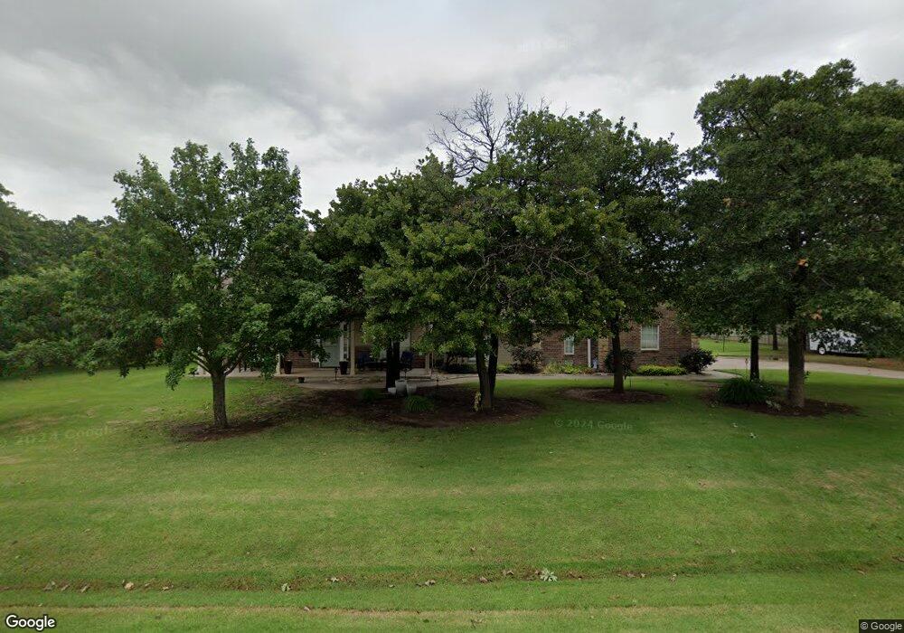
2080 Wagon Trail Blvd Harrah, OK 73045
Estimated Value: $328,000 - $375,000
3
Beds
3
Baths
2,024
Sq Ft
$173/Sq Ft
Est. Value
About This Home
This home is located at 2080 Wagon Trail Blvd, Harrah, OK 73045 and is currently estimated at $349,605, approximately $172 per square foot. 2080 Wagon Trail Blvd is a home with nearby schools including Virginia Smith Elementary School, Clara Reynolds Elementary School, and Russell Babb Elementary School.
Ownership History
Date
Name
Owned For
Owner Type
Purchase Details
Closed on
Aug 24, 2021
Sold by
Desomer Kaye Lyn and Desomer Steve
Bought by
Westervelt Jimmy Don
Current Estimated Value
Purchase Details
Closed on
Oct 31, 2005
Sold by
Homestead Community Development Llc
Bought by
Tackitt Glen A and Tackitt Amy M
Home Financials for this Owner
Home Financials are based on the most recent Mortgage that was taken out on this home.
Original Mortgage
$120,000
Interest Rate
5.9%
Mortgage Type
Fannie Mae Freddie Mac
Create a Home Valuation Report for This Property
The Home Valuation Report is an in-depth analysis detailing your home's value as well as a comparison with similar homes in the area
Home Values in the Area
Average Home Value in this Area
Purchase History
| Date | Buyer | Sale Price | Title Company |
|---|---|---|---|
| Westervelt Jimmy Don | -- | None Listed On Document | |
| Westervelt Jimmy Don | -- | None Listed On Document | |
| Westervelt Jimmy Don | -- | None Available | |
| Tackitt Glen A | $207,000 | Capitol Abstract & Title |
Source: Public Records
Mortgage History
| Date | Status | Borrower | Loan Amount |
|---|---|---|---|
| Previous Owner | Tackitt Glen A | $120,000 |
Source: Public Records
Tax History
| Year | Tax Paid | Tax Assessment Tax Assessment Total Assessment is a certain percentage of the fair market value that is determined by local assessors to be the total taxable value of land and additions on the property. | Land | Improvement |
|---|---|---|---|---|
| 2025 | $2,765 | $26,778 | $3,491 | $23,287 |
| 2024 | $2,373 | $25,998 | $3,636 | $22,362 |
| 2023 | $2,373 | $25,241 | $3,541 | $21,700 |
| 2022 | $2,339 | $24,506 | $4,000 | $20,506 |
| 2021 | $2,268 | $23,793 | $4,333 | $19,460 |
| 2020 | $2,259 | $23,100 | $4,180 | $18,920 |
| 2019 | $2,326 | $23,793 | $4,082 | $19,711 |
| 2018 | $2,296 | $23,100 | $0 | $0 |
| 2017 | $2,234 | $22,934 | $3,860 | $19,074 |
| 2016 | $2,235 | $22,549 | $3,860 | $18,689 |
| 2015 | $2,213 | $21,546 | $3,860 | $17,686 |
| 2014 | $2,156 | $21,044 | $3,814 | $17,230 |
Source: Public Records
Map
Nearby Homes
- 0 Dobbs Rd
- 19416 Cardinal Creek Dr N
- 800 S Luther Rd
- 1201 Rolling Hills Dr
- 1701 S Luther Rd
- 615 Yoachum Rd
- 0000 SE 29th St
- 2990 Greenleaf Dr
- 4321 Winding Brook
- 4353 Winding Brook
- 20630 Frontier Place
- 20590 Legacy Crossing
- 2117 Nixon St
- 20644 Landmark Dr
- 19090 SE Catfish Dr
- 365 Pleasant View
- 0 S Harrah Rd
- 3941 Catfish Dr
- 10136 Pennington St
- 10144 SE Pennington St
- 19701 Serenity Place
- 2110 Wagon Trail Blvd
- 2111 Wagon Trail Blvd
- 2000 Wagon Trail Blvd
- 19751 Ancestor Place
- 19700 Martha Cir
- 19671 Serenity Place
- 19799 Ancestor Place
- 2175 Wagon Trail Blvd
- 2112 Community Place
- 19670 Martha Cir
- 1950 Wagon Trail Blvd
- 19850 Ancestor Place
- 19701 Martha Cir
- 2250 Wagon Trail Blvd
- 19851 Ancestor Place
- 19603 Serenity Place
- 2170 Community Place
- 2115 Community Place
- 19673 Martha Cir
Your Personal Tour Guide
Ask me questions while you tour the home.