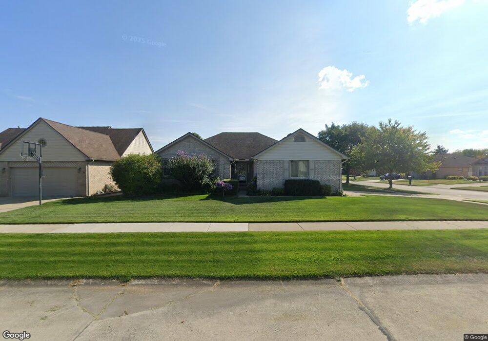
20800 Nucci Dr Clinton Township, MI 48038
Estimated Value: $388,000 - $412,000
--
Bed
--
Bath
1,850
Sq Ft
$215/Sq Ft
Est. Value
About This Home
This home is located at 20800 Nucci Dr, Clinton Township, MI 48038 and is currently estimated at $398,540, approximately $215 per square foot. 20800 Nucci Dr is a home located in Macomb County with nearby schools including Erie Elementary School, Wyandot Middle School, and Chippewa Valley High School.
Ownership History
Date
Name
Owned For
Owner Type
Purchase Details
Closed on
Nov 29, 2018
Sold by
Tepatti Martinc and Tepatti Cynthia L
Bought by
Martin C Tepatti and Martin Cynthia L Tepat
Current Estimated Value
Purchase Details
Closed on
Oct 7, 1994
Sold by
Seville Homes Inc
Bought by
Martin C Tepatti and Tepatti Cynthia L
Home Financials for this Owner
Home Financials are based on the most recent Mortgage that was taken out on this home.
Original Mortgage
$134,100
Interest Rate
8.68%
Mortgage Type
New Conventional
Create a Home Valuation Report for This Property
The Home Valuation Report is an in-depth analysis detailing your home's value as well as a comparison with similar homes in the area
Home Values in the Area
Average Home Value in this Area
Purchase History
| Date | Buyer | Sale Price | Title Company |
|---|---|---|---|
| Martin C Tepatti | -- | None Available | |
| Martin C Tepatti | $40,000 | -- |
Source: Public Records
Mortgage History
| Date | Status | Borrower | Loan Amount |
|---|---|---|---|
| Closed | Martin C Tepatti | $134,100 |
Source: Public Records
Tax History Compared to Growth
Tax History
| Year | Tax Paid | Tax Assessment Tax Assessment Total Assessment is a certain percentage of the fair market value that is determined by local assessors to be the total taxable value of land and additions on the property. | Land | Improvement |
|---|---|---|---|---|
| 2025 | $4,911 | $192,300 | $0 | $0 |
| 2024 | $2,926 | $183,600 | $0 | $0 |
| 2023 | $2,775 | $162,000 | $0 | $0 |
| 2022 | $4,450 | $139,200 | $0 | $0 |
| 2021 | $4,327 | $134,300 | $0 | $0 |
| 2020 | $2,546 | $130,500 | $0 | $0 |
| 2019 | $4,031 | $118,800 | $0 | $0 |
| 2018 | $3,960 | $111,500 | $0 | $0 |
| 2017 | $3,912 | $107,800 | $28,400 | $79,400 |
| 2016 | $3,888 | $107,800 | $0 | $0 |
| 2015 | -- | $102,100 | $0 | $0 |
| 2014 | -- | $98,100 | $0 | $0 |
| 2011 | -- | $92,200 | $25,000 | $67,200 |
Source: Public Records
Map
Nearby Homes
- 20784 Cannon Dr
- 43378 Riverbend Blvd
- 43440 Riverbend Blvd
- 20757 Cueter Ln
- 20654 Dunham Rd Unit 24
- 20465 Saint Laurence Dr
- 20561 Longwood Dr Unit 64
- 44000 Dunham Ct
- 0 Clinton River Rd Unit 20251013874
- 42328 Sheridan Ct
- 19790 Westchester Dr Unit 11
- 43300 Little Rd
- 43377 Rivergate Dr
- 42680 Chippewa Dr Unit 28
- 42125 Little Rd
- 44130 Cadburry Dr
- 43363 Herring Dr
- 42415 Colorado Dr Unit 14
- 281 Carlson St
- 20387 Villa Grande Cir Unit 19
- 20810 Nucci Dr
- 43036 Tomlinson Dr
- 20820 Nucci Dr
- 43014 Tomlinson Dr
- 43079 Tomlinson Dr
- 43057 Tomlinson Dr
- 20805 Nucci Dr
- 20795 Nucci Dr
- 43035 Ian Ct
- 43035 Tomlinson Dr
- 20815 Nucci Dr
- 43101 Tomlinson Dr
- 20830 Nucci Dr
- 42992 Tomlinson Dr
- 43013 Ian Ct
- 20785 Nucci Dr
- 43013 Tomlinson Dr
- 20825 Nucci Dr
- 42991 Ian Ct
- 42991 Tomlinson Dr