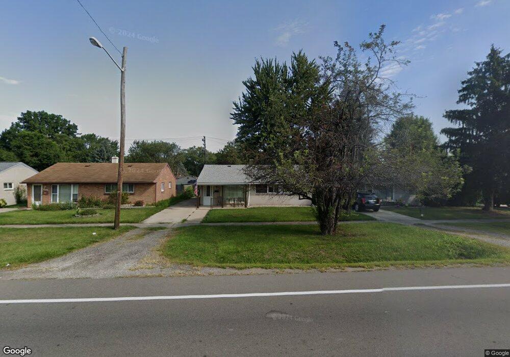
20800 Wick Rd Unit Bldg-Unit Taylor, MI 48180
Estimated Value: $167,997 - $174,000
--
Bed
1
Bath
1,036
Sq Ft
$165/Sq Ft
Est. Value
About This Home
This home is located at 20800 Wick Rd Unit Bldg-Unit, Taylor, MI 48180 and is currently estimated at $170,999, approximately $165 per square foot. 20800 Wick Rd Unit Bldg-Unit is a home located in Wayne County with nearby schools including Clarence Randall Elementary School, Robert J. West Middle School, and Taylor Preparatory High School.
Ownership History
Date
Name
Owned For
Owner Type
Purchase Details
Closed on
Jan 12, 2023
Sold by
Mccullough Daniel Anthony and Mccullough Amanda E
Bought by
Mccullough Daniel Anthony
Current Estimated Value
Home Financials for this Owner
Home Financials are based on the most recent Mortgage that was taken out on this home.
Original Mortgage
$124,265
Outstanding Balance
$120,215
Interest Rate
6.31%
Mortgage Type
FHA
Estimated Equity
$50,784
Purchase Details
Closed on
May 31, 2018
Sold by
Lee Cornelius Terry Lee and Lee Cornelius Sharon
Bought by
Mccullough Daniel
Purchase Details
Closed on
Nov 6, 2017
Sold by
Deustche Bank National Trust Co
Bought by
Cornelius Terry Lee
Purchase Details
Closed on
May 11, 2017
Sold by
Kelsay Rosita L
Bought by
Deutsche Bank National Trust Company
Create a Home Valuation Report for This Property
The Home Valuation Report is an in-depth analysis detailing your home's value as well as a comparison with similar homes in the area
Home Values in the Area
Average Home Value in this Area
Purchase History
| Date | Buyer | Sale Price | Title Company |
|---|---|---|---|
| Mccullough Daniel Anthony | -- | -- | |
| Mccullough Daniel | $95,000 | Miochigan Title Ins Agency I | |
| Cornelius Terry Lee | $63,000 | Premium Title Svcs Inc | |
| Deutsche Bank National Trust Company | $71,450 | None Available |
Source: Public Records
Mortgage History
| Date | Status | Borrower | Loan Amount |
|---|---|---|---|
| Open | Mccullough Daniel Anthony | $124,265 |
Source: Public Records
Tax History Compared to Growth
Tax History
| Year | Tax Paid | Tax Assessment Tax Assessment Total Assessment is a certain percentage of the fair market value that is determined by local assessors to be the total taxable value of land and additions on the property. | Land | Improvement |
|---|---|---|---|---|
| 2025 | $1,986 | $71,200 | $0 | $0 |
| 2024 | $1,986 | $68,200 | $0 | $0 |
| 2023 | $2,357 | $59,800 | $0 | $0 |
| 2022 | $1,895 | $51,000 | $0 | $0 |
| 2021 | $2,075 | $44,900 | $0 | $0 |
| 2020 | $2,054 | $41,900 | $0 | $0 |
| 2019 | $205,439 | $38,900 | $0 | $0 |
| 2018 | $1,341 | $31,300 | $0 | $0 |
| 2017 | $1,120 | $31,300 | $0 | $0 |
| 2016 | $1,561 | $30,400 | $0 | $0 |
| 2015 | $2,875 | $29,500 | $0 | $0 |
| 2013 | $2,860 | $29,200 | $0 | $0 |
| 2012 | $1,259 | $28,800 | $8,200 | $20,600 |
Source: Public Records
Map
Nearby Homes
- 20812 Wick Rd
- 8951 Rackham St
- 20968 Shannon St
- 21056 Wick Rd
- 21059 Wick Rd
- 9444 Polk St
- 8910 Mason St
- 9134 Weddel St
- 20100 Wick Rd
- 8025 Mayfair St
- 20234 Champaign St
- 9062 Monroe Blvd
- 9993 Allen Pointe Dr
- 9949 Allen Pointe Dr Unit 14
- 22134 Wick Rd
- 7854 Jackson St
- 7924 Pelham Rd
- 10045 Allen Pointe Dr Unit 96
- 10037 Allen Pointe Dr Unit 92
- 8242 Monroe Blvd
- 20800 Wick Rd
- 20744 Wick Rd
- 20824 Wick Rd
- 20734 Wick Rd
- 20801 Shannon St
- 20813 Shannon St
- 20823 Shannon St
- 20739 Shannon St
- 20836 Wick Rd
- 20724 Wick Rd
- 20833 Shannon St
- 20729 Shannon St
- 20848 Wick Rd
- 9207 Merrick St
- 20845 Shannon St
- 9138 Stevens St
- 20902 Wick Rd Unit Bldg-Unit
- 20902 Wick Rd
- 9112 Stevens St
- 20901 Shannon St