20804 NE 221st Cir Battle Ground, WA 98604
Estimated Value: $754,412 - $904,000
4
Beds
3
Baths
2,738
Sq Ft
$293/Sq Ft
Est. Value
About This Home
This home is located at 20804 NE 221st Cir, Battle Ground, WA 98604 and is currently estimated at $802,103, approximately $292 per square foot. 20804 NE 221st Cir is a home located in Clark County with nearby schools including Tukes Valley Primary School, Tukes Valley Middle School, and Battle Ground High School.
Ownership History
Date
Name
Owned For
Owner Type
Purchase Details
Closed on
Aug 4, 2020
Sold by
Jung Alan J De and Jung Lisa M
Bought by
Jung Alan J De and Jung Lisa M
Current Estimated Value
Home Financials for this Owner
Home Financials are based on the most recent Mortgage that was taken out on this home.
Original Mortgage
$215,000
Outstanding Balance
$153,002
Interest Rate
3.1%
Mortgage Type
New Conventional
Estimated Equity
$649,101
Purchase Details
Closed on
Jun 29, 2018
Sold by
Jong Alan J De and Jong Lisa M De
Bought by
Jong Alan J De and Jong Lisa M De
Purchase Details
Closed on
Mar 18, 1999
Sold by
Anthony Terry C and Anthony Lynnda P
Bought by
Dejong Alan and Dejong Lisa
Home Financials for this Owner
Home Financials are based on the most recent Mortgage that was taken out on this home.
Original Mortgage
$200,000
Interest Rate
6.73%
Create a Home Valuation Report for This Property
The Home Valuation Report is an in-depth analysis detailing your home's value as well as a comparison with similar homes in the area
Home Values in the Area
Average Home Value in this Area
Purchase History
| Date | Buyer | Sale Price | Title Company |
|---|---|---|---|
| Jung Alan J De | -- | Clark County Title Company | |
| Jong Alan J De | -- | None Available | |
| Dejong Alan | $250,000 | Charter Title Corporation |
Source: Public Records
Mortgage History
| Date | Status | Borrower | Loan Amount |
|---|---|---|---|
| Open | Jung Alan J De | $215,000 | |
| Closed | Dejong Alan | $200,000 |
Source: Public Records
Tax History Compared to Growth
Tax History
| Year | Tax Paid | Tax Assessment Tax Assessment Total Assessment is a certain percentage of the fair market value that is determined by local assessors to be the total taxable value of land and additions on the property. | Land | Improvement |
|---|---|---|---|---|
| 2025 | $5,394 | $667,464 | $300,838 | $366,626 |
| 2024 | $4,853 | $647,984 | $300,838 | $347,146 |
| 2023 | $5,112 | $666,178 | $311,718 | $354,460 |
| 2022 | $4,672 | $641,919 | $288,241 | $353,678 |
| 2021 | $4,770 | $510,554 | $205,170 | $305,384 |
| 2020 | $4,613 | $477,457 | $220,361 | $257,096 |
| 2019 | $4,010 | $450,349 | $207,670 | $242,679 |
| 2018 | $4,648 | $449,084 | $0 | $0 |
| 2017 | $3,883 | $396,838 | $0 | $0 |
| 2016 | $3,836 | $361,471 | $0 | $0 |
| 2015 | $3,803 | $327,665 | $0 | $0 |
| 2014 | -- | $307,247 | $0 | $0 |
| 2013 | -- | $276,243 | $0 | $0 |
Source: Public Records
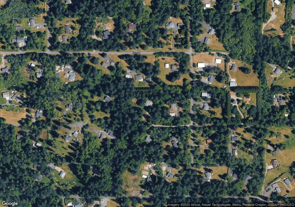
Map
Nearby Homes
- 20015 NE 234th St
- 0 NE 212th Ave
- 22400 NE 216th Cir
- 21017 NE Risto Rd
- 21821 NE Rock Creek Canyon Rd
- 20607 NE Allworth Rd
- 19815 NE Allworth Rd
- 20502 NE 225th Ave
- 23417 NE Canyon Rd
- 20205 NE 190th Ave
- 22414 NE 200th St
- 22814 NE 182nd Ave
- 19301 NE 249th St
- 0 212th Ave
- 25307 NE 212th Ave
- 19119 NE 204th Ave
- 18717 NE 208th Ct
- 20304 NE 237th Ave
- 19911 NE 179th Ct
- 24312 NE 224th St
- 22120 NE 209th Ave
- 20709 NE 224th St
- 20805 NE 221st Cir
- 20520 NE 221st Cir
- 22314 NE 209th Ave
- 22024 NE 209th Ave
- 20519 NE 221st Cir
- 22205 NE 209th Ave
- 22305 NE 209th Ave
- 22019 NE 209th Ave
- 20820 NE 224th St
- 20800 NE 219th St
- 20500 NE 221st Cir
- 20824 NE 224th St
- 20614 NE 224th St
- 22005 NE 204th Ct
- 22411 NE 209th Ave
- 20405 NE 224th St