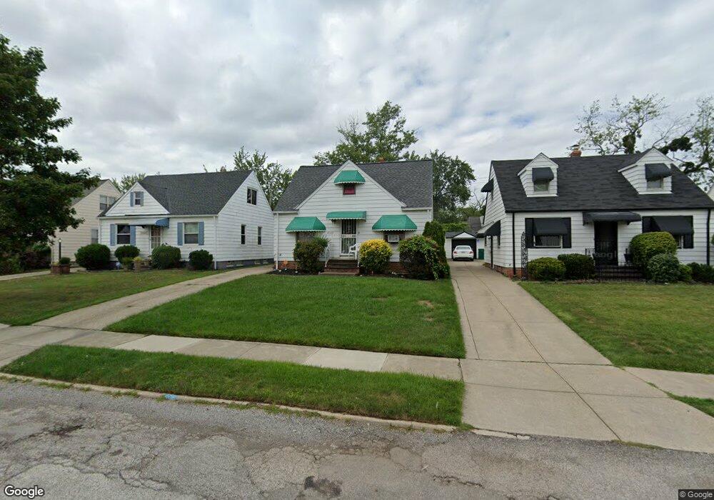
20809 Franklin Rd Maple Heights, OH 44137
Estimated Value: $77,000 - $118,000
3
Beds
1
Bath
728
Sq Ft
$136/Sq Ft
Est. Value
About This Home
This home is located at 20809 Franklin Rd, Maple Heights, OH 44137 and is currently estimated at $98,960, approximately $135 per square foot. 20809 Franklin Rd is a home located in Cuyahoga County with nearby schools including Abraham Lincoln Elementary School, Rockside/ J.F. Kennedy School, and Barack Obama School.
Ownership History
Date
Name
Owned For
Owner Type
Purchase Details
Closed on
Apr 30, 1992
Sold by
Sciano Antonetta
Bought by
Griffin Denise K
Current Estimated Value
Purchase Details
Closed on
May 30, 1991
Sold by
Sciano Antonetta
Bought by
Sciano Antonetta
Purchase Details
Closed on
Apr 30, 1976
Sold by
Sciano Joseph J
Bought by
Sciano Joseph J
Purchase Details
Closed on
Jan 1, 1975
Bought by
Sciano Joseph J
Create a Home Valuation Report for This Property
The Home Valuation Report is an in-depth analysis detailing your home's value as well as a comparison with similar homes in the area
Home Values in the Area
Average Home Value in this Area
Purchase History
| Date | Buyer | Sale Price | Title Company |
|---|---|---|---|
| Griffin Denise K | $55,000 | -- | |
| Sciano Antonetta | -- | -- | |
| Sciano Joseph J | -- | -- | |
| Sciano Antonetta | -- | -- | |
| Sciano Joseph J | -- | -- |
Source: Public Records
Tax History
| Year | Tax Paid | Tax Assessment Tax Assessment Total Assessment is a certain percentage of the fair market value that is determined by local assessors to be the total taxable value of land and additions on the property. | Land | Improvement |
|---|---|---|---|---|
| 2024 | $2,940 | $25,515 | $7,000 | $18,515 |
| 2023 | $1,906 | $17,050 | $4,240 | $12,810 |
| 2022 | $1,899 | $17,045 | $4,235 | $12,810 |
| 2021 | $2,019 | $17,050 | $4,240 | $12,810 |
| 2020 | $1,738 | $12,920 | $3,220 | $9,700 |
| 2019 | $1,727 | $36,900 | $9,200 | $27,700 |
| 2018 | $1,625 | $12,920 | $3,220 | $9,700 |
| 2017 | $1,664 | $12,150 | $2,980 | $9,170 |
| 2016 | $1,610 | $12,150 | $2,980 | $9,170 |
| 2015 | $3,328 | $12,150 | $2,980 | $9,170 |
| 2014 | $3,328 | $13,340 | $3,260 | $10,080 |
Source: Public Records
Map
Nearby Homes
- 20715 Watson Rd
- 20905 Clare Ave
- 20517 Raymond St
- 20600 Watson Rd
- 20806 Clare Ave
- 5147 Warrensville Center Rd
- 21207 Franklin Rd
- 21202 Hillgrove Ave
- 20705 Hansen Rd
- 21202 Gardenview Dr
- 21600 Franklin Rd
- 19931 Raymond St
- 21607 Libby Rd
- 21860 Louis Rd
- 19520 Maple Heights Blvd
- 5165 Camden Rd
- 19289 Stafford Ave
- 0 Miles Rd Unit 5188561
- 5194 Homewood Ave
- 18990 Raymond St
- 20813 Franklin Rd
- 20805 Franklin Rd
- 20817 Franklin Rd
- 20717 Franklin Rd
- 20821 Franklin Rd
- 20806 Raymond St
- 20802 Raymond St
- 20810 Raymond St
- 20713 Franklin Rd
- 20901 Franklin Rd
- 20814 Raymond St
- 20804 Franklin Rd
- 20714 Raymond St
- 20808 Franklin Rd
- 20800 Franklin Rd
- 20812 Franklin Rd
- 20903 Franklin Rd
- 20716 Franklin Rd
- 20709 Franklin Rd
- 20710 Raymond St
Your Personal Tour Guide
Ask me questions while you tour the home.