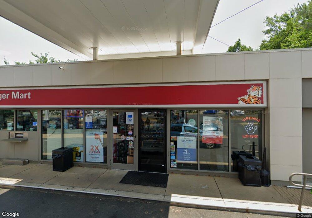
2081 Chain Bridge Rd Vienna, VA 22182
Old Courthouse NeighborhoodEstimated Value: $4,038,267
--
Bed
1
Bath
1,431
Sq Ft
$2,822/Sq Ft
Est. Value
About This Home
This home is located at 2081 Chain Bridge Rd, Vienna, VA 22182 and is currently estimated at $4,038,267, approximately $2,821 per square foot. 2081 Chain Bridge Rd is a home located in Fairfax County with nearby schools including Freedom Hill Elementary School, Kilmer Middle School, and Marshall High School.
Ownership History
Date
Name
Owned For
Owner Type
Purchase Details
Closed on
Feb 1, 2010
Sold by
Exxon Mobil Corporation
Bought by
Burke Petroleum Realty Llc
Current Estimated Value
Home Financials for this Owner
Home Financials are based on the most recent Mortgage that was taken out on this home.
Original Mortgage
$13,697,419
Outstanding Balance
$9,128,651
Interest Rate
5.17%
Mortgage Type
Commercial
Estimated Equity
-$5,090,384
Create a Home Valuation Report for This Property
The Home Valuation Report is an in-depth analysis detailing your home's value as well as a comparison with similar homes in the area
Home Values in the Area
Average Home Value in this Area
Purchase History
| Date | Buyer | Sale Price | Title Company |
|---|---|---|---|
| Burke Petroleum Realty Llc | $2,225,490 | -- |
Source: Public Records
Mortgage History
| Date | Status | Borrower | Loan Amount |
|---|---|---|---|
| Open | Burke Petroleum Realty Llc | $13,697,419 |
Source: Public Records
Tax History Compared to Growth
Tax History
| Year | Tax Paid | Tax Assessment Tax Assessment Total Assessment is a certain percentage of the fair market value that is determined by local assessors to be the total taxable value of land and additions on the property. | Land | Improvement |
|---|---|---|---|---|
| 2025 | $34,695 | $2,464,150 | $1,679,580 | $784,570 |
| 2024 | $34,695 | $2,437,290 | $1,679,580 | $757,710 |
| 2023 | $34,442 | $2,471,620 | $1,799,550 | $672,070 |
| 2022 | $34,644 | $2,459,620 | $1,799,550 | $660,070 |
| 2021 | $35,260 | $2,451,170 | $1,799,550 | $651,620 |
| 2020 | $38,543 | $2,660,910 | $1,919,520 | $741,390 |
| 2019 | $38,665 | $2,632,930 | $1,919,520 | $713,410 |
| 2018 | $29,874 | $2,597,750 | $1,919,520 | $678,230 |
| 2017 | $34,120 | $2,296,090 | $1,919,520 | $376,570 |
| 2016 | $35,524 | $2,362,750 | $1,919,520 | $443,230 |
| 2015 | $34,979 | $2,361,880 | $1,919,520 | $442,360 |
| 2014 | $31,557 | $2,120,030 | $1,679,580 | $440,450 |
Source: Public Records
Map
Nearby Homes
- 1829 Jeffersonian Dr
- 2113 Chain Bridge Rd
- 1815 Dawson St
- 244 Old Courthouse Rd NE
- 103 Saint Andrews Dr NE
- 1727 Cy Ct
- 1724 Cy Ct
- 305 Old Courthouse Rd NE
- 401 Old Courthouse Rd NE
- 2002 Byrd Rd
- 2017 Woodford Rd
- 1722 Pine Valley Dr
- 1650 Silver Hill Dr Unit 1206
- 1650 Silver Hill Dr Unit 1202
- 1650 Silver Hill Dr Unit 1607
- 1650 Silver Hill Dr Unit 1205
- 1650 Silver Hill Dr Unit 1403
- 1650 Silver Hill Dr Unit 1002
- 1650 Silver Hill Dr Unit 2201
- 1650 Silver Hill Dr Unit 1502
- 2087 Chain Bridge Rd
- 2084 Chain Bridge Rd
- 8419 Old Courthouse Rd
- 8437 Old Courthouse Rd
- 2095 Chain Bridge Rd
- 8417 Old Courthouse Rd
- 2071 Chain Bridge Rd
- 8500 Westown Way
- 8502 Westown Way
- 8424 Tysons Trace Ct
- 8504 Westown Way
- 1854 Brenthill Way
- 8426 Tysons Trace Ct
- 1849 Brenthill Way
- 8411 Old Courthouse Rd
- 8506 Westown Way
- 8428 Tysons Trace Ct
- 1852 Brenthill Way
- 1847 Brenthill Way
- 8430 Tysons Trace Ct