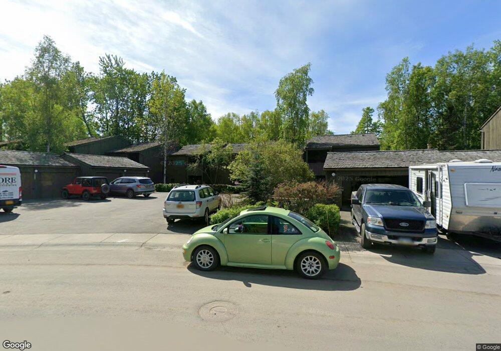
2081 Cliffside Dr Unit 25 Anchorage, AK 99501
Airport Heights NeighborhoodEstimated Value: $250,000 - $393,000
3
Beds
3
Baths
1,567
Sq Ft
$210/Sq Ft
Est. Value
About This Home
This home is located at 2081 Cliffside Dr Unit 25, Anchorage, AK 99501 and is currently estimated at $329,511, approximately $210 per square foot. 2081 Cliffside Dr Unit 25 is a home located in Anchorage Municipality with nearby schools including Airport Heights Elementary School, Wendler Middle School, and Bettye Davis East Anchorage High School.
Ownership History
Date
Name
Owned For
Owner Type
Purchase Details
Closed on
Mar 24, 2005
Sold by
Bouchard Diane M
Bought by
Penn Clifford N and Penn Teri K
Current Estimated Value
Home Financials for this Owner
Home Financials are based on the most recent Mortgage that was taken out on this home.
Original Mortgage
$216,505
Outstanding Balance
$109,180
Interest Rate
5.53%
Mortgage Type
Purchase Money Mortgage
Estimated Equity
$220,331
Create a Home Valuation Report for This Property
The Home Valuation Report is an in-depth analysis detailing your home's value as well as a comparison with similar homes in the area
Home Values in the Area
Average Home Value in this Area
Purchase History
| Date | Buyer | Sale Price | Title Company |
|---|---|---|---|
| Penn Clifford N | -- | First American Title Ins Co |
Source: Public Records
Mortgage History
| Date | Status | Borrower | Loan Amount |
|---|---|---|---|
| Open | Penn Clifford N | $216,505 |
Source: Public Records
Tax History Compared to Growth
Tax History
| Year | Tax Paid | Tax Assessment Tax Assessment Total Assessment is a certain percentage of the fair market value that is determined by local assessors to be the total taxable value of land and additions on the property. | Land | Improvement |
|---|---|---|---|---|
| 2025 | $1,521 | $309,500 | -- | $309,500 |
| 2024 | $1,521 | $319,200 | $0 | $319,200 |
| 2023 | $4,511 | $264,900 | $0 | $264,900 |
| 2022 | $758 | $243,800 | $0 | $243,800 |
| 2021 | $4,350 | $241,400 | $0 | $241,400 |
| 2020 | $724 | $242,200 | $0 | $242,200 |
| 2019 | $1,034 | $263,200 | $0 | $263,200 |
| 2018 | $533 | $228,100 | $0 | $228,100 |
| 2017 | $1,243 | $249,400 | $0 | $249,400 |
| 2016 | $3,225 | $267,400 | $0 | $267,400 |
| 2015 | $3,225 | $264,000 | $0 | $264,000 |
| 2014 | $3,225 | $248,300 | $0 | $248,300 |
Source: Public Records
Map
Nearby Homes
- 2066 Cliffside Dr Unit 10-B2
- 1803 Parkside Dr
- 1661 Eastridge Dr Unit 101
- 2215 Sunburst Cir
- 1611 Eastridge Dr Unit 201
- 1635 Sitka St Unit 14-302
- 2620 Sorbus Cir
- 2680 Lovejoy Dr
- 1701 Aleutian St
- 2456 Cottonwood St
- 1729 Sunrise Dr
- 000 Tr A Thurston
- 1251 Elegante Ln
- 2635 Latouche St
- 1403 Nelchina St
- 1210 E 16th Ave Unit 4
- 1504 Medfra St
- 1634 Stanford Dr
- 1101 E 16th Ave
- 3411 Princeton Way
- 2041 Eastridge Dr Unit 42
- 2043 Eastridge Dr Unit 41
- 2045 Eastridge Dr Unit 40
- 2089 Cliffside Dr Unit 29
- 2087 Cliffside Dr Unit 28
- 2085 Cliffside Dr Unit 27
- 2083 Cliffside Dr Unit 26
- 2079 Cliffside Dr Unit 24
- 2073 Cliffside Dr Unit 23
- 2071 Cliffside Dr Unit 22
- 2069 Cliffside Dr Unit 21
- 2067 Cliffside Dr Unit 20
- 2083 Cliffside Dr Unit B-6
- 2087 Cliffside Dr Unit 28B6
- 2045 Eastridge Dr Unit B9
- 2079 Cliffside Dr Unit 24B-6
- 2069 Cliffside Dr Unit 21B-5
- 2067 Cliffside Dr Unit 1
- 2043 Eastridge Dr Unit 41B-9
- 2073 Cliffside Dr Unit 23 B-5