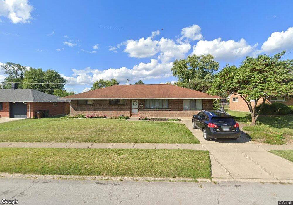
2081 Lynpark Ave Dayton, OH 45439
Woodbourne-Hyde Park NeighborhoodEstimated Value: $204,000 - $223,000
4
Beds
2
Baths
1,794
Sq Ft
$119/Sq Ft
Est. Value
About This Home
This home is located at 2081 Lynpark Ave, Dayton, OH 45439 and is currently estimated at $212,847, approximately $118 per square foot. 2081 Lynpark Ave is a home located in Montgomery County with nearby schools including West Carrollton High School, Miami Valley Academies, and St. Albert the Great Catholic School.
Ownership History
Date
Name
Owned For
Owner Type
Purchase Details
Closed on
Mar 31, 2022
Sold by
Reiber Carol M and Brooks Tracy L
Bought by
Nill Perry R and Nill Heather L
Current Estimated Value
Home Financials for this Owner
Home Financials are based on the most recent Mortgage that was taken out on this home.
Original Mortgage
$123,750
Outstanding Balance
$115,740
Interest Rate
3.85%
Mortgage Type
New Conventional
Estimated Equity
$97,107
Create a Home Valuation Report for This Property
The Home Valuation Report is an in-depth analysis detailing your home's value as well as a comparison with similar homes in the area
Home Values in the Area
Average Home Value in this Area
Purchase History
| Date | Buyer | Sale Price | Title Company |
|---|---|---|---|
| Nill Perry R | -- | Landmark Title |
Source: Public Records
Mortgage History
| Date | Status | Borrower | Loan Amount |
|---|---|---|---|
| Open | Nill Perry R | $123,750 |
Source: Public Records
Tax History Compared to Growth
Tax History
| Year | Tax Paid | Tax Assessment Tax Assessment Total Assessment is a certain percentage of the fair market value that is determined by local assessors to be the total taxable value of land and additions on the property. | Land | Improvement |
|---|---|---|---|---|
| 2024 | $3,684 | $50,120 | $7,820 | $42,300 |
| 2023 | $3,684 | $50,120 | $7,820 | $42,300 |
| 2022 | $2,388 | $33,640 | $5,250 | $28,390 |
| 2021 | $2,227 | $33,640 | $5,250 | $28,390 |
| 2020 | $2,108 | $33,640 | $5,250 | $28,390 |
| 2019 | $2,122 | $29,340 | $5,250 | $24,090 |
| 2018 | $1,994 | $29,340 | $5,250 | $24,090 |
| 2017 | $1,982 | $29,340 | $5,250 | $24,090 |
| 2016 | $1,983 | $28,670 | $5,250 | $23,420 |
| 2015 | $1,854 | $28,670 | $5,250 | $23,420 |
| 2014 | $1,854 | $28,670 | $5,250 | $23,420 |
| 2012 | -- | $30,400 | $7,000 | $23,400 |
Source: Public Records
Map
Nearby Homes
- 2090 Mattis Dr
- 1673 W Stroop Rd
- 1692 Hillwood Dr
- 4301 Tait Rd
- 1952 Tait Circle Rd
- 1905 Tait Circle Rd
- 4051 Ellery Ave
- 4207 S Dixie Dr
- 4629 Richwood Dr
- 2050 William Ln
- 4661 Richwood Dr
- 4792 Loxley Dr
- 3720 Ridgeleigh Rd Unit D
- 2571 Cluster Ave
- 1955 Kresswood Cir
- 2639 Blanchard Ave
- 1349 Tamerlane Rd
- 5084 Mays Ave
- 4400 Royal Ridge Way
- 4447 Royal Ridge Way
- 2095 Lynpark Ave
- 2067 Lynpark Ave
- 2062 Owendale Dr
- 2076 Owendale Dr
- 2103 Lynpark Ave
- 2053 Lynpark Ave
- 2052 Owendale Dr
- 2090 Lynpark Ave
- 2076 Lynpark Ave
- 2092 Owendale Dr
- 2100 Lynpark Ave
- 2062 Lynpark Ave
- 2119 Lynpark Ave
- 4187 Cordell Dr
- 4163 Cordell Dr
- 2042 Owendale Dr
- 2114 Lynpark Ave
- 2104 Owendale Dr
- 2046 Lynpark Ave
- 2081 Terrylynn Ave