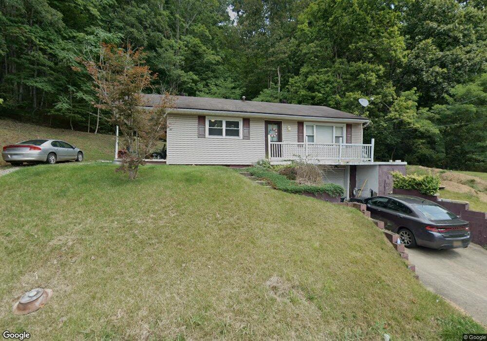
2081 Roach Rd Salt Rock, WV 25559
Estimated Value: $118,000 - $207,000
2
Beds
1
Bath
936
Sq Ft
$162/Sq Ft
Est. Value
About This Home
This home is located at 2081 Roach Rd, Salt Rock, WV 25559 and is currently estimated at $151,614, approximately $161 per square foot. 2081 Roach Rd is a home with nearby schools including Salt Rock Elementary School, Barboursville Middle School, and Cabell Midland High School.
Ownership History
Date
Name
Owned For
Owner Type
Purchase Details
Closed on
Jun 12, 2015
Sold by
Jeremy J Jeremy J and Frye Bethany A
Bought by
Gue Mariann and Mays Kemberly J
Current Estimated Value
Home Financials for this Owner
Home Financials are based on the most recent Mortgage that was taken out on this home.
Original Mortgage
$71,550
Outstanding Balance
$54,804
Interest Rate
3.84%
Mortgage Type
Unknown
Estimated Equity
$96,810
Purchase Details
Closed on
Jun 21, 2007
Sold by
Steward Tammy Lynn
Bought by
Truley Jeremy J and Frye Bethany A
Create a Home Valuation Report for This Property
The Home Valuation Report is an in-depth analysis detailing your home's value as well as a comparison with similar homes in the area
Purchase History
| Date | Buyer | Sale Price | Title Company |
|---|---|---|---|
| Gue Mariann | $70,000 | -- | |
| Truley Jeremy J | $70,000 | -- |
Source: Public Records
Mortgage History
| Date | Status | Borrower | Loan Amount |
|---|---|---|---|
| Open | Gue Mariann | $71,550 |
Source: Public Records
Tax History
| Year | Tax Paid | Tax Assessment Tax Assessment Total Assessment is a certain percentage of the fair market value that is determined by local assessors to be the total taxable value of land and additions on the property. | Land | Improvement |
|---|---|---|---|---|
| 2025 | $602 | $43,980 | $7,500 | $36,480 |
| 2024 | $602 | $46,260 | $6,840 | $39,420 |
| 2023 | $633 | $45,600 | $6,180 | $39,420 |
| 2022 | $597 | $43,140 | $6,180 | $36,960 |
| 2021 | $548 | $39,420 | $6,180 | $33,240 |
| 2020 | $525 | $39,420 | $6,180 | $33,240 |
| 2019 | $571 | $41,640 | $6,180 | $35,460 |
| 2018 | $518 | $37,680 | $6,180 | $31,500 |
| 2017 | $518 | $37,680 | $6,180 | $31,500 |
| 2016 | $518 | $37,680 | $6,180 | $31,500 |
| 2015 | $454 | $33,120 | $6,180 | $26,940 |
| 2014 | $478 | $34,800 | $6,180 | $28,620 |
Source: Public Records
Map
Nearby Homes
- 8451 Mccomas Rd
- 1029 Trace Creek Rd
- 18 Esquire Dr Unit May Apple Hgts Rd Lo
- Lot 1 Evergreen Ln
- Lot 5 Sec 2 May Apple Heights
- 304 Deer Run Rd
- Lots 4 & Pt 5 Niday Dr Unit Lots 4 & Pt 5 Sec 1
- 1 Mayapple Heights
- Lot 2 & 3 Sec 2 May Apple Heights
- Lots 1 & 2 Sec 1 Niday Dr
- Lots 7 & 8 Niday Drive Sec 3
- Lts Pt 5&6 Sec1 Niday Dr
- Lot 10 Sec 2 Niday Dr
- Lot 4 & 5 Sec 3 Niday Dr
- Lot 3 Sec 2 Niday Dr
- Lot 11 Sec 2 Niday Dr
- Lots 3 & Pt 4 Niday Dr Unit Lots 3 & Pt 4 Sec 1
- Lot 3A Sec 2 Niday Dr
- 583 Davis Creek Rd
- 23 Diamond Dr
Your Personal Tour Guide
Ask me questions while you tour the home.