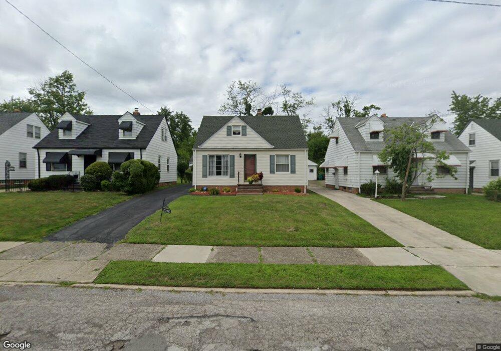
20817 Franklin Rd Maple Heights, OH 44137
Estimated Value: $97,000 - $115,000
3
Beds
1
Bath
1,092
Sq Ft
$97/Sq Ft
Est. Value
About This Home
This home is located at 20817 Franklin Rd, Maple Heights, OH 44137 and is currently estimated at $106,411, approximately $97 per square foot. 20817 Franklin Rd is a home located in Cuyahoga County with nearby schools including Abraham Lincoln Elementary School, Rockside/ J.F. Kennedy School, and Barack Obama School.
Ownership History
Date
Name
Owned For
Owner Type
Purchase Details
Closed on
Jul 25, 1988
Sold by
Smith Eugene Francis
Bought by
Nelson Wanda L
Current Estimated Value
Purchase Details
Closed on
Mar 26, 1986
Sold by
Smith Eugene Francis
Bought by
Smith Eugene Francis
Purchase Details
Closed on
Apr 9, 1976
Sold by
Hobson Richard P and L L
Bought by
Smith Eugene Francis
Purchase Details
Closed on
Jan 1, 1975
Bought by
Hobson Richard P and L L
Create a Home Valuation Report for This Property
The Home Valuation Report is an in-depth analysis detailing your home's value as well as a comparison with similar homes in the area
Home Values in the Area
Average Home Value in this Area
Purchase History
| Date | Buyer | Sale Price | Title Company |
|---|---|---|---|
| Nelson Wanda L | $48,000 | -- | |
| Smith Eugene Francis | -- | -- | |
| Smith Eugene Francis | $28,500 | -- | |
| Hobson Richard P | -- | -- |
Source: Public Records
Tax History
| Year | Tax Paid | Tax Assessment Tax Assessment Total Assessment is a certain percentage of the fair market value that is determined by local assessors to be the total taxable value of land and additions on the property. | Land | Improvement |
|---|---|---|---|---|
| 2024 | $2,807 | $30,520 | $7,000 | $23,520 |
| 2023 | $2,184 | $20,130 | $4,240 | $15,890 |
| 2022 | $2,176 | $20,130 | $4,240 | $15,890 |
| 2021 | $2,318 | $20,130 | $4,240 | $15,890 |
| 2020 | $1,986 | $15,260 | $3,220 | $12,040 |
| 2019 | $1,975 | $43,600 | $9,200 | $34,400 |
| 2018 | $1,964 | $15,260 | $3,220 | $12,040 |
| 2017 | $1,899 | $14,320 | $2,980 | $11,340 |
| 2016 | $1,837 | $14,320 | $2,980 | $11,340 |
| 2015 | $1,831 | $14,320 | $2,980 | $11,340 |
| 2014 | $1,831 | $15,720 | $3,260 | $12,460 |
Source: Public Records
Map
Nearby Homes
- 20715 Watson Rd
- 20905 Clare Ave
- 20517 Raymond St
- 20600 Watson Rd
- 20806 Clare Ave
- 5147 Warrensville Center Rd
- 21207 Franklin Rd
- 21202 Hillgrove Ave
- 20705 Hansen Rd
- 21202 Gardenview Dr
- 21600 Franklin Rd
- 19931 Raymond St
- 21607 Libby Rd
- 21860 Louis Rd
- 19520 Maple Heights Blvd
- 5165 Camden Rd
- 19289 Stafford Ave
- 0 Miles Rd Unit 5188561
- 5194 Homewood Ave
- 18990 Raymond St
- 20813 Franklin Rd
- 20821 Franklin Rd
- 20809 Franklin Rd
- 20901 Franklin Rd
- 20805 Franklin Rd
- 20903 Franklin Rd
- 20814 Raymond St
- 20810 Raymond St
- 20806 Raymond St
- 20900 Raymond St
- 20905 Franklin Rd
- 20812 Franklin Rd
- 20802 Raymond St
- 20904 Raymond St
- 20816 Franklin Rd
- 20808 Franklin Rd
- 20804 Franklin Rd
- 20717 Franklin Rd
- 20913 Franklin Rd
- 20904 Franklin Rd
Your Personal Tour Guide
Ask me questions while you tour the home.