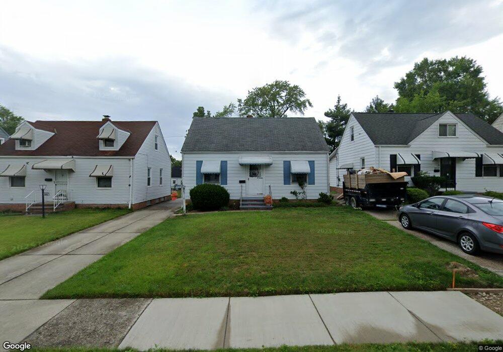
20819 Watson Rd Maple Heights, OH 44137
Estimated Value: $100,134 - $116,000
3
Beds
1
Bath
1,080
Sq Ft
$99/Sq Ft
Est. Value
About This Home
This home is located at 20819 Watson Rd, Maple Heights, OH 44137 and is currently estimated at $107,034, approximately $99 per square foot. 20819 Watson Rd is a home located in Cuyahoga County with nearby schools including Abraham Lincoln Elementary School, Rockside/ J.F. Kennedy School, and Italy High School.
Ownership History
Date
Name
Owned For
Owner Type
Purchase Details
Closed on
Aug 30, 2019
Sold by
Seiranko Richard and Seiranko Dawn M
Bought by
Ginsburg Deborah Sciranko
Current Estimated Value
Purchase Details
Closed on
Sep 12, 2018
Sold by
Ginsburg Deborah Sciranko and Sciranko Richard J
Bought by
Sciranko Richard J
Purchase Details
Closed on
Nov 23, 1979
Sold by
Sciranko Richard J and J A
Bought by
Sciranko Richard J
Purchase Details
Closed on
Jan 1, 1975
Bought by
Sciranko Richard J and J A
Create a Home Valuation Report for This Property
The Home Valuation Report is an in-depth analysis detailing your home's value as well as a comparison with similar homes in the area
Home Values in the Area
Average Home Value in this Area
Purchase History
| Date | Buyer | Sale Price | Title Company |
|---|---|---|---|
| Ginsburg Deborah Sciranko | -- | Revere Title | |
| Sciranko Richard J | -- | None Available | |
| Sciranko Richard J | -- | -- | |
| Sciranko Richard J | -- | -- |
Source: Public Records
Tax History Compared to Growth
Tax History
| Year | Tax Paid | Tax Assessment Tax Assessment Total Assessment is a certain percentage of the fair market value that is determined by local assessors to be the total taxable value of land and additions on the property. | Land | Improvement |
|---|---|---|---|---|
| 2024 | $2,788 | $30,275 | $6,720 | $23,555 |
| 2023 | $2,035 | $18,480 | $4,060 | $14,420 |
| 2022 | $2,028 | $18,480 | $4,060 | $14,420 |
| 2021 | $2,158 | $18,480 | $4,060 | $14,420 |
| 2020 | $1,852 | $14,000 | $3,080 | $10,920 |
| 2019 | $1,727 | $40,000 | $8,800 | $31,200 |
| 2018 | $397 | $14,000 | $3,080 | $10,920 |
| 2017 | $672 | $12,780 | $2,870 | $9,910 |
| 2016 | $646 | $12,780 | $2,870 | $9,910 |
| 2015 | $712 | $12,780 | $2,870 | $9,910 |
| 2014 | $712 | $14,040 | $3,150 | $10,890 |
Source: Public Records
Map
Nearby Homes
- 20907 Watson Rd
- 20814 Watson Rd
- 20715 Watson Rd
- 21102 Raymond St
- 21207 Franklin Rd
- 20120 Mccracken Rd
- 20814 Kenyon Dr
- 20701 Kenyon Dr
- 20510 Mountville Dr
- 21416 Gardenview Dr
- 20107 Libby Rd
- 19807 Gardenview Dr
- 19806 Mountville Dr
- 19520 Maple Heights Blvd
- 19309 Nitra Ave
- 19812 Stockton Ave
- 5165 Camden Rd
- 19289 Stafford Ave
- 5285 Mardale Ave
- 5301 Mardale Ave
- 20903 Watson Rd
- 20815 Watson Rd
- 20811 Watson Rd
- 20911 Watson Rd
- 20807 Watson Rd
- 20818 Hansen Rd
- 20810 Hansen Rd
- 20814 Hansen Rd
- 20904 Hansen 3 4vb
- 20904 Hansen Rd
- 20915 Watson Rd
- 20803 Watson Rd
- 20806 Hansen Rd
- 20908 Hansen Rd
- 20818 Watson Rd
- 20902 Watson Rd
- 20810 Watson Rd
- 20802 Hansen Rd
- 20906 Watson Rd
- 21001 Watson Rd