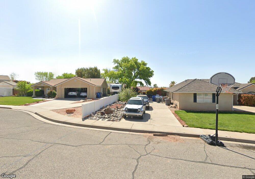
2082 E 70 South Cir Saint George, UT 84790
Estimated Value: $406,000 - $443,000
3
Beds
2
Baths
1,354
Sq Ft
$312/Sq Ft
Est. Value
About This Home
This home is located at 2082 E 70 South Cir, Saint George, UT 84790 and is currently estimated at $422,536, approximately $312 per square foot. 2082 E 70 South Cir is a home located in Washington County with nearby schools including Panorama School, Fossil Ridge Intermediate School, and Pine View Middle School.
Ownership History
Date
Name
Owned For
Owner Type
Purchase Details
Closed on
Jul 30, 2013
Sold by
Hurst Ezra T and Hurst Elise
Bought by
Nazel Lc
Current Estimated Value
Purchase Details
Closed on
Feb 22, 2013
Sold by
Hurst Ezra and Hurst Elise
Bought by
Hurst Ezra T and Hurst Elise
Home Financials for this Owner
Home Financials are based on the most recent Mortgage that was taken out on this home.
Original Mortgage
$166,564
Interest Rate
3.75%
Mortgage Type
FHA
Purchase Details
Closed on
Dec 4, 2009
Sold by
Thornton Morgan G and Thornton Pamela P
Bought by
Hurst Ezra and Hurst Elise
Home Financials for this Owner
Home Financials are based on the most recent Mortgage that was taken out on this home.
Original Mortgage
$178,703
Interest Rate
4.99%
Mortgage Type
FHA
Create a Home Valuation Report for This Property
The Home Valuation Report is an in-depth analysis detailing your home's value as well as a comparison with similar homes in the area
Home Values in the Area
Average Home Value in this Area
Purchase History
| Date | Buyer | Sale Price | Title Company |
|---|---|---|---|
| Nazel Lc | -- | Southern Utah Title | |
| Hurst Ezra T | -- | Accomodation | |
| Hurst Ezra | -- | Southern Utah Title |
Source: Public Records
Mortgage History
| Date | Status | Borrower | Loan Amount |
|---|---|---|---|
| Previous Owner | Hurst Ezra T | $166,564 | |
| Previous Owner | Hurst Ezra | $178,703 |
Source: Public Records
Tax History Compared to Growth
Tax History
| Year | Tax Paid | Tax Assessment Tax Assessment Total Assessment is a certain percentage of the fair market value that is determined by local assessors to be the total taxable value of land and additions on the property. | Land | Improvement |
|---|---|---|---|---|
| 2025 | $1,467 | $215,380 | $59,400 | $155,980 |
| 2023 | $1,512 | $225,885 | $52,800 | $173,085 |
| 2022 | $1,606 | $225,610 | $52,250 | $173,360 |
| 2021 | $1,447 | $303,300 | $80,000 | $223,300 |
| 2020 | $1,304 | $257,300 | $60,000 | $197,300 |
| 2019 | $1,270 | $244,900 | $60,000 | $184,900 |
| 2018 | $1,232 | $119,075 | $0 | $0 |
| 2017 | $1,172 | $113,245 | $0 | $0 |
| 2016 | $1,216 | $108,680 | $0 | $0 |
| 2015 | $1,172 | $100,485 | $0 | $0 |
| 2014 | $1,093 | $94,325 | $0 | $0 |
Source: Public Records
Map
Nearby Homes
- 2144 E 220 Cir S
- 236 S 2020 Cir E
- 210 N Mall Dr Unit 46
- 210 N Mall Dr Unit 64
- 210 N Mall Dr Unit 65
- 210 N Mall Dr Unit 86
- 210 N Mall Dr Unit 96
- 145 N Mall Dr Unit 33
- 145 N Mall Dr Unit 35
- 145 N Mall Dr Unit 59
- 145 N Mall Dr Unit 57
- 2911 E Snowberry Dr Unit 56
- 2911 E Snowberry Dr
- 232 S Acantilado Cir
- 3 2450 St E Unit 3
- 2541 E 90 S
- 345 N 2450 E Unit 120
- 0 S Mall Dr
- 345 N 2450 E Unit 239
- 345 N 2450 E Unit 120
- 2082 E 70 S
- 78 S 2110 East Cir
- 78 S 2110 E
- 2074 E 70 S
- 2074 E 70 South Cir
- 2085 E 70 South Cir
- 2085 E 70 S
- 66 S 2110 East Cir
- 66 S 2110 E
- 2099 E 100 S
- 2087 E 100 S
- 2077 E 70 S
- 2077 E 70 South Cir
- 54 S 2110 E
- 54 S 2110 East Cir
- 2066 E 70 S
- 2066 E 70 South Cir
- 2069 E 70 South Cir
- 65 S 2110 E
- 83 S 2110 East Cir