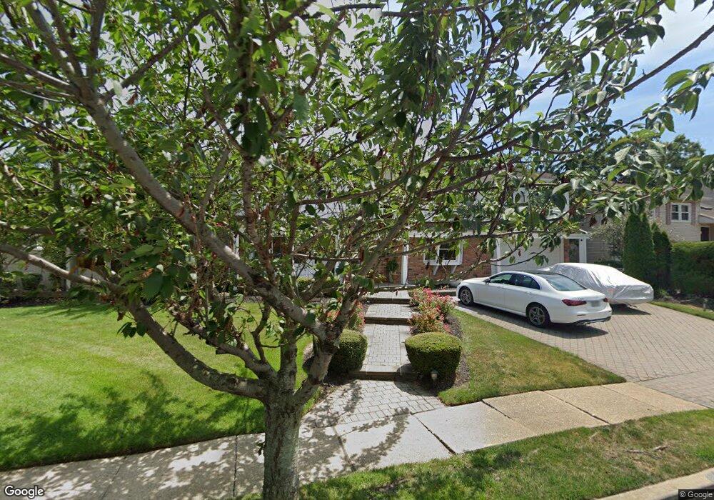
2082 Elliot St Merrick, NY 11566
Estimated Value: $1,463,022 - $1,531,000
Studio
3
Baths
3,497
Sq Ft
$428/Sq Ft
Est. Value
About This Home
This home is located at 2082 Elliot St, Merrick, NY 11566 and is currently estimated at $1,497,011, approximately $428 per square foot. 2082 Elliot St is a home located in Nassau County with nearby schools including Merrick Avenue Middle School, John F. Kennedy High School, and St. Elizabeth Ann Seton Regional School.
Ownership History
Date
Name
Owned For
Owner Type
Purchase Details
Closed on
Oct 11, 2011
Sold by
Bee-Hive Development Corp
Bought by
Ryan Thomas and Ryan Margaret
Current Estimated Value
Home Financials for this Owner
Home Financials are based on the most recent Mortgage that was taken out on this home.
Original Mortgage
$400,000
Outstanding Balance
$271,947
Interest Rate
4.11%
Mortgage Type
Purchase Money Mortgage
Estimated Equity
$1,225,064
Purchase Details
Closed on
Sep 7, 2001
Sold by
Grieb Edward S
Bought by
Fernandez Leonardo
Purchase Details
Closed on
Aug 16, 1999
Sold by
Rattner Henny and Rattner Stuart
Bought by
Grieb Edward S and Grieb Susan
Home Financials for this Owner
Home Financials are based on the most recent Mortgage that was taken out on this home.
Original Mortgage
$75,000
Interest Rate
7.53%
Mortgage Type
Credit Line Revolving
Create a Home Valuation Report for This Property
The Home Valuation Report is an in-depth analysis detailing your home's value as well as a comparison with similar homes in the area
Home Values in the Area
Average Home Value in this Area
Purchase History
| Date | Buyer | Sale Price | Title Company |
|---|---|---|---|
| Ryan Thomas | $810,000 | -- | |
| Fernandez Leonardo | $500,000 | David Paul Weiss | |
| Grieb Edward S | $455,500 | First American Title Ins Co |
Source: Public Records
Mortgage History
| Date | Status | Borrower | Loan Amount |
|---|---|---|---|
| Open | Ryan Thomas | $400,000 | |
| Previous Owner | Grieb Edward S | $75,000 | |
| Previous Owner | Grieb Edward S | $330,000 |
Source: Public Records
Tax History
| Year | Tax Paid | Tax Assessment Tax Assessment Total Assessment is a certain percentage of the fair market value that is determined by local assessors to be the total taxable value of land and additions on the property. | Land | Improvement |
|---|---|---|---|---|
| 2025 | $22,583 | $780 | $296 | $484 |
| 2024 | $5,623 | $832 | $316 | $516 |
Source: Public Records
Map
Nearby Homes
- 110 Hampton Way
- 2072 Brighton Way
- 109 Elliot St
- 2077 Byron Rd
- 2845 Whaleneck Dr
- 2810 Wynsum Ave
- 2819 Harbor Rd
- 2066 Holland Way
- 1945 Byron Rd
- 217 Bayview Ave
- 2729 Shore Dr
- 2829 Frankel Blvd
- 2884 Bay Dr
- 2863 Harbor Rd
- 2043 Ripley Ln
- 1360-1370 Merrick Rd
- 1903 George Ct
- 163 Wynsum Ave
- 23 Bay St
- 60 Montauk Ave
- 2070 Elliot St
- 2081 Hampton Way
- 2069 Hampton Way
- 2081 Elliot St
- 18 Elliot St
- 2063 Hampton Way
- 407 Hewlett Ave
- 23 Elliot St
- 415 Hewlett Ave
- 2058 Elliot St
- 2085 Elliot St
- 2065 Elliot St
- 2057 Hampton Way
- 2716 Hewlett Ave
- 2094 Elliot St
- 2082 Hampton Way
- 2070 Hampton Way
- 2059 Elliot St
- 2064 Hampton Way
- 2095 Hampton Way
Your Personal Tour Guide
Ask me questions while you tour the home.