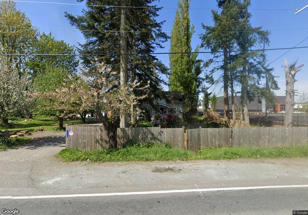
20820 Smokey Point Blvd Arlington, WA 98223
Estimated Value: $492,000 - $813,000
4
Beds
1
Bath
1,866
Sq Ft
$324/Sq Ft
Est. Value
About This Home
This home is located at 20820 Smokey Point Blvd, Arlington, WA 98223 and is currently estimated at $604,799, approximately $324 per square foot. 20820 Smokey Point Blvd is a home located in Snohomish County with nearby schools including Presidents Elementary School, Haller Middle School, and Weston High School.
Ownership History
Date
Name
Owned For
Owner Type
Purchase Details
Closed on
Apr 7, 2014
Sold by
Mcmullen Evan
Bought by
Mcmullen Family Holdings Llc
Current Estimated Value
Purchase Details
Closed on
Dec 24, 2007
Sold by
Trelawny Lp
Bought by
Mcmullen Evan K
Purchase Details
Closed on
Aug 1, 2005
Sold by
Mcmullen Evan K
Bought by
Trelawny Lp
Purchase Details
Closed on
Jul 14, 1995
Sold by
Carlton Karla
Bought by
Mcmullen Evan K
Home Financials for this Owner
Home Financials are based on the most recent Mortgage that was taken out on this home.
Original Mortgage
$126,750
Interest Rate
7.59%
Create a Home Valuation Report for This Property
The Home Valuation Report is an in-depth analysis detailing your home's value as well as a comparison with similar homes in the area
Home Values in the Area
Average Home Value in this Area
Purchase History
| Date | Buyer | Sale Price | Title Company |
|---|---|---|---|
| Mcmullen Family Holdings Llc | -- | None Available | |
| Mcmullen Evan K | -- | None Available | |
| Trelawny Lp | -- | None Available | |
| Mcmullen Evan K | $169,300 | Stewart Title Co |
Source: Public Records
Mortgage History
| Date | Status | Borrower | Loan Amount |
|---|---|---|---|
| Previous Owner | Mcmullen Evan K | $126,750 |
Source: Public Records
Tax History Compared to Growth
Tax History
| Year | Tax Paid | Tax Assessment Tax Assessment Total Assessment is a certain percentage of the fair market value that is determined by local assessors to be the total taxable value of land and additions on the property. | Land | Improvement |
|---|---|---|---|---|
| 2025 | $1,959 | $305,000 | $202,500 | $102,500 |
| 2024 | $1,959 | $224,800 | $126,900 | $97,900 |
| 2023 | $2,832 | $361,400 | $123,900 | $237,500 |
| 2022 | $2,678 | $282,600 | $89,600 | $193,000 |
| 2020 | $2,045 | $221,600 | $67,000 | $154,600 |
| 2019 | $2,036 | $214,600 | $67,000 | $147,600 |
| 2018 | $2,381 | $195,600 | $56,900 | $138,700 |
| 2017 | $2,177 | $181,600 | $53,600 | $128,000 |
| 2016 | $2,983 | $232,800 | $57,100 | $175,700 |
| 2015 | $2,755 | $206,700 | $59,700 | $147,000 |
| 2013 | $2,338 | $169,500 | $47,600 | $121,900 |
Source: Public Records
Map
Nearby Homes
- 20102 33rd Ave NE
- 2517 197th St NE
- 19605 Smokey Point Blvd
- 19023 23rd Ave NE
- 20217 45th Dr NE
- 4502 200th St NE
- 3219 186th Place NE
- 1619 188th St NE
- 21916 7th Ave NE
- 19308 45th Dr NE
- 3125 183rd Place NE
- 19730 5th Ave NE
- 4609 190th St NE
- 3329 182nd St NE Unit 2B
- 3417 182nd St NE Unit B
- 2516 179th Place NE
- 17859 26th Dr NE
- 2613 178th Place NE
- 17851 26th Dr NE
- 2722 178th Place NE Unit 106
- 20711 Smokey Point Blvd
- 20613 Smokey Point Blvd
- 21006 Smokey Point Blvd
- 20400 Smokey Point Blvd
- 2831 204th St NE
- 2310 State Route 530 NE
- 2214 State Route 530 NE
- 1 204th St NE
- 2202 Wa-530
- 2202 State Route 530 NE
- 2233 State Route 530 NE
- 2431 State Route 530 NE
- 21331 27th Ave NE
- 3130 State Route 530 NE
- 2119 State Route 530 NE
- 102821 Undisclosed
- 2015 State Route 530 NE
- 1906 Pioneer Hwy E
- 3311 Sr 530 NE
- 20132 33rd Ave NE