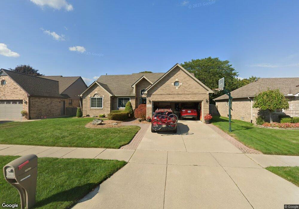
20825 Nucci Dr Clinton Township, MI 48038
Estimated Value: $378,756 - $405,000
--
Bed
1
Bath
1,786
Sq Ft
$220/Sq Ft
Est. Value
About This Home
This home is located at 20825 Nucci Dr, Clinton Township, MI 48038 and is currently estimated at $392,689, approximately $219 per square foot. 20825 Nucci Dr is a home located in Macomb County with nearby schools including Erie Elementary School, Wyandot Middle School, and Chippewa Valley High School.
Ownership History
Date
Name
Owned For
Owner Type
Purchase Details
Closed on
May 14, 2013
Sold by
Englar Bradly J and Englar Nancy M
Bought by
Englar Bradly J and Englar Nancy M
Current Estimated Value
Home Financials for this Owner
Home Financials are based on the most recent Mortgage that was taken out on this home.
Original Mortgage
$73,850
Outstanding Balance
$16,010
Interest Rate
3.39%
Mortgage Type
New Conventional
Estimated Equity
$376,679
Purchase Details
Closed on
Sep 12, 2000
Sold by
Vito Stefanoski
Bought by
Bradley J Englar
Create a Home Valuation Report for This Property
The Home Valuation Report is an in-depth analysis detailing your home's value as well as a comparison with similar homes in the area
Home Values in the Area
Average Home Value in this Area
Purchase History
| Date | Buyer | Sale Price | Title Company |
|---|---|---|---|
| Englar Bradly J | -- | None Available | |
| Bradley J Englar | $221,900 | -- |
Source: Public Records
Mortgage History
| Date | Status | Borrower | Loan Amount |
|---|---|---|---|
| Open | Englar Bradly J | $73,850 |
Source: Public Records
Tax History Compared to Growth
Tax History
| Year | Tax Paid | Tax Assessment Tax Assessment Total Assessment is a certain percentage of the fair market value that is determined by local assessors to be the total taxable value of land and additions on the property. | Land | Improvement |
|---|---|---|---|---|
| 2025 | $4,661 | $187,300 | $0 | $0 |
| 2024 | $2,777 | $176,100 | $0 | $0 |
| 2023 | $2,634 | $156,900 | $0 | $0 |
| 2022 | $4,223 | $133,500 | $0 | $0 |
| 2021 | $4,108 | $128,000 | $0 | $0 |
| 2020 | $2,417 | $124,200 | $0 | $0 |
| 2019 | $3,826 | $118,100 | $0 | $0 |
| 2018 | $3,759 | $111,300 | $0 | $0 |
| 2017 | $3,713 | $104,900 | $25,000 | $79,900 |
| 2016 | $3,690 | $104,900 | $0 | $0 |
| 2015 | -- | $97,300 | $0 | $0 |
| 2014 | -- | $93,600 | $0 | $0 |
| 2011 | -- | $87,800 | $20,300 | $67,500 |
Source: Public Records
Map
Nearby Homes
- 20784 Cannon Dr
- 43378 Riverbend Blvd
- 43440 Riverbend Blvd
- 20757 Cueter Ln
- 20654 Dunham Rd Unit 24
- 20465 Saint Laurence Dr
- 20561 Longwood Dr Unit 64
- 44000 Dunham Ct
- 0 Clinton River Rd Unit 20251013874
- 42328 Sheridan Ct
- 43300 Little Rd
- 19790 Westchester Dr Unit 11
- 43377 Rivergate Dr
- 44130 Cadburry Dr
- 42680 Chippewa Dr Unit 28
- 42125 Little Rd
- 43363 Herring Dr
- 42415 Colorado Dr Unit 14
- 20387 Villa Grande Cir Unit 19
- 281 Carlson St
- 20835 Nucci Dr
- 20815 Nucci Dr
- 20854 Cannon Dr
- 20805 Nucci Dr
- 20845 Nucci Dr
- 20840 Cannon Dr
- 20820 Nucci Dr
- 20830 Nucci Dr
- 20795 Nucci Dr
- 20855 Nucci Dr
- 20826 Cannon Dr
- 20810 Nucci Dr
- 20800 Nucci Dr
- 20812 Cannon Dr Unit Bldg-Unit
- 20812 Cannon Dr
- 20865 Nucci Dr
- 20850 Nucci Dr
- 43035 Ian Ct
- 20912 Riverbend Dr S Unit 25
- 20918 Riverbend Dr S