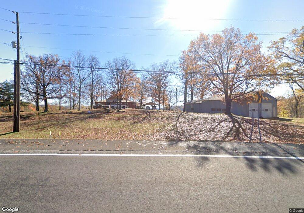
20832 S Highway 71 Winslow, AR 72959
Estimated Value: $288,000 - $492,000
4
Beds
2
Baths
2,904
Sq Ft
$126/Sq Ft
Est. Value
About This Home
This home is located at 20832 S Highway 71, Winslow, AR 72959 and is currently estimated at $367,260, approximately $126 per square foot. 20832 S Highway 71 is a home located in Washington County with nearby schools including Greenland Middle School, Greenland Elementary School, and Greenland High School.
Ownership History
Date
Name
Owned For
Owner Type
Purchase Details
Closed on
Dec 12, 2008
Sold by
Federal National Mortgage Association
Bought by
Mcguire Robert H and Mcguire Sharon N
Current Estimated Value
Purchase Details
Closed on
Aug 14, 2008
Sold by
Graves Brian and Graves Stacy
Bought by
Federal National Mortgage Association
Purchase Details
Closed on
Jul 21, 2006
Sold by
Parrish Wanda Y
Bought by
Graves Brian and Graves Stacy
Home Financials for this Owner
Home Financials are based on the most recent Mortgage that was taken out on this home.
Original Mortgage
$199,405
Interest Rate
6.6%
Mortgage Type
Purchase Money Mortgage
Purchase Details
Closed on
Jan 1, 1985
Bought by
Parrish Miron C and Parrish Wanda
Create a Home Valuation Report for This Property
The Home Valuation Report is an in-depth analysis detailing your home's value as well as a comparison with similar homes in the area
Home Values in the Area
Average Home Value in this Area
Purchase History
| Date | Buyer | Sale Price | Title Company |
|---|---|---|---|
| Mcguire Robert H | $132,000 | None Available | |
| Federal National Mortgage Association | -- | None Available | |
| Graves Brian | $215,000 | Waco Title Company | |
| Parrish Miron C | -- | -- |
Source: Public Records
Mortgage History
| Date | Status | Borrower | Loan Amount |
|---|---|---|---|
| Previous Owner | Graves Brian | $199,405 |
Source: Public Records
Tax History Compared to Growth
Tax History
| Year | Tax Paid | Tax Assessment Tax Assessment Total Assessment is a certain percentage of the fair market value that is determined by local assessors to be the total taxable value of land and additions on the property. | Land | Improvement |
|---|---|---|---|---|
| 2025 | $447 | $52,140 | $4,560 | $47,580 |
| 2024 | $547 | $52,140 | $4,560 | $47,580 |
| 2023 | $636 | $52,140 | $4,560 | $47,580 |
| 2022 | $752 | $33,970 | $3,310 | $30,660 |
| 2021 | $752 | $33,970 | $3,310 | $30,660 |
| 2020 | $687 | $33,970 | $3,310 | $30,660 |
| 2019 | $688 | $26,200 | $2,710 | $23,490 |
| 2018 | $713 | $26,200 | $2,710 | $23,490 |
| 2017 | $700 | $26,200 | $2,710 | $23,490 |
| 2016 | $702 | $26,200 | $2,710 | $23,490 |
| 2015 | $702 | $26,200 | $2,710 | $23,490 |
| 2014 | $703 | $23,100 | $1,730 | $21,370 |
Source: Public Records
Map
Nearby Homes
- 20845 U S 71
- 20805 Pine Dr
- 610 Blueberry Hill Rd
- 21588 S Highway 71
- 22764 Carter Lane Rd
- TBD N Devils Den Rd
- 156 Pinehaven Dr
- 1327 Copperhead Rd
- 47 Acres Wc 4275
- 21701 Mount Gaylor Point
- 18708 S Highway 71
- 10347 Devils Den Rd
- 20255 N Highway 71
- TBD Brentwood Mountain Rd
- 15459 Whitehouse Rd
- 21710 Wc 274
- 32 Chimney Field Rd
- 33 Chimney Field Rd
- 3 Chimney Field Rd
- 2 Chimney Field Rd
- 20832 U S 71
- 20817 Pine Dr
- 20817 Pine Dr Unit 2120
- 20791 Pine Dr
- 20845 U S Highway 71
- 20922 Pine Dr
- 20791 S Highway 71
- 20791 U S 71
- 20954 S Highway 71
- 20836 Pine Dr
- 20760 Pine Dr
- 20818 Pine Dr
- 20915 S Highway 71
- 20769 S Highway 71
- 20769 U S 71
- 20769 Highway 71b
- 20915 U S 71
- 20870 Pine Dr
- 20996 S Highway 71
- 20756 S Highway 71