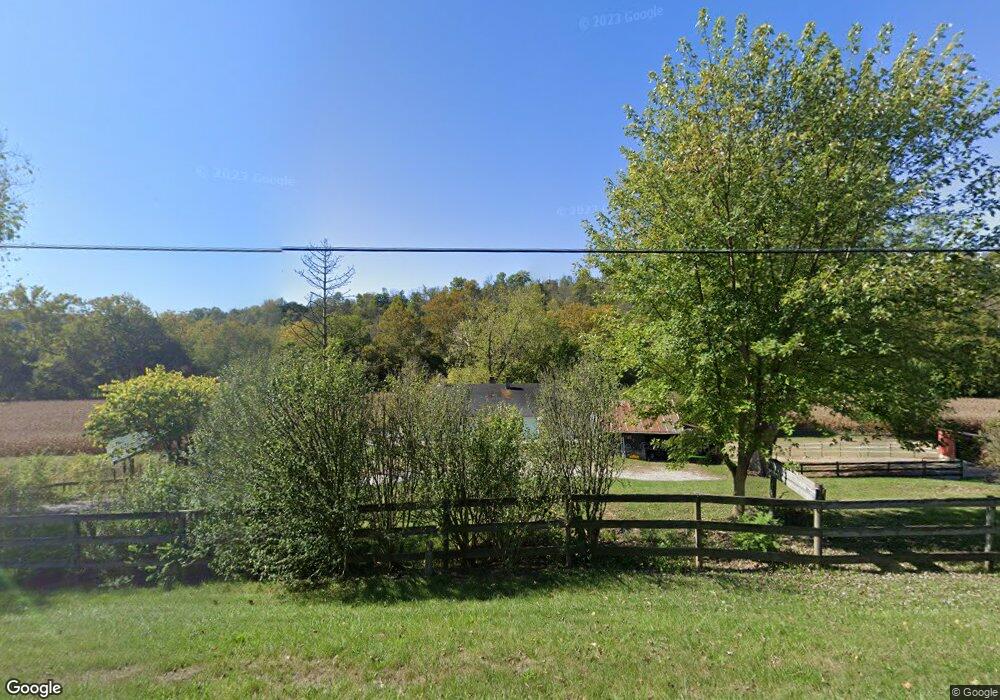
20833 State Route 1 Guilford, IN 47022
Estimated Value: $283,962 - $397,000
2
Beds
2
Baths
1,620
Sq Ft
$220/Sq Ft
Est. Value
About This Home
This home is located at 20833 State Route 1, Guilford, IN 47022 and is currently estimated at $356,987, approximately $220 per square foot. 20833 State Route 1 is a home located in Dearborn County with nearby schools including East Central High School.
Ownership History
Date
Name
Owned For
Owner Type
Purchase Details
Closed on
Nov 29, 2023
Sold by
Coats Ricky E and Kendall Cynthia A
Bought by
Duff Kaitlyn and Duff Kelsey
Current Estimated Value
Home Financials for this Owner
Home Financials are based on the most recent Mortgage that was taken out on this home.
Original Mortgage
$175,750
Outstanding Balance
$172,991
Interest Rate
7.79%
Mortgage Type
New Conventional
Estimated Equity
$183,996
Purchase Details
Closed on
Jul 15, 2011
Sold by
Taylor Stephen T
Bought by
Wilhelm Derrick
Create a Home Valuation Report for This Property
The Home Valuation Report is an in-depth analysis detailing your home's value as well as a comparison with similar homes in the area
Home Values in the Area
Average Home Value in this Area
Purchase History
| Date | Buyer | Sale Price | Title Company |
|---|---|---|---|
| Duff Kaitlyn | -- | None Listed On Document | |
| Wilhelm Derrick | -- | -- |
Source: Public Records
Mortgage History
| Date | Status | Borrower | Loan Amount |
|---|---|---|---|
| Open | Duff Kaitlyn | $175,750 |
Source: Public Records
Tax History Compared to Growth
Tax History
| Year | Tax Paid | Tax Assessment Tax Assessment Total Assessment is a certain percentage of the fair market value that is determined by local assessors to be the total taxable value of land and additions on the property. | Land | Improvement |
|---|---|---|---|---|
| 2024 | $1,690 | $178,900 | $43,600 | $135,300 |
| 2023 | $1,914 | $178,500 | $41,700 | $136,800 |
| 2022 | $2,014 | $183,300 | $39,700 | $143,600 |
| 2021 | $1,887 | $169,600 | $38,600 | $131,000 |
| 2020 | $1,845 | $169,500 | $38,500 | $131,000 |
| 2019 | $1,899 | $172,200 | $40,000 | $132,200 |
| 2018 | $1,651 | $155,300 | $40,200 | $115,100 |
| 2017 | $1,698 | $154,800 | $41,500 | $113,300 |
| 2016 | $1,662 | $155,400 | $42,000 | $113,400 |
| 2014 | $1,480 | $144,300 | $42,500 | $101,800 |
Source: Public Records
Map
Nearby Homes
- 0 Inghams Mill Ln Unit 205574
- 21563 Fox Rd
- 18778 Keller Rd
- 2082 Morningside Dr
- 18133 Rainbow Rd
- 0 Bellemeade Dr
- 20912 Bellemeade Dr
- 21261 Bellemeade Dr
- 0 Ridgewood Cir Unit 202961
- 0 Timberline Trail Unit 198823
- 0-0 Fox Ridge Rd
- 2504 Cove Cir W
- 20551 Heather Ct
- 2458 Cedar Cliff Dr
- 4865 Indiana 48
- 1753 Cove Cir E
- 0 State Rd 1 Unit 202081
- 0 Matterhorn Dr Unit 1856886
- 0 Matterhorn Dr Unit 206036
- 20422 Matterhorn Dr
- 20668 State Route 1
- 20720 State Route 1
- 21026 State Route 1
- 5140 Yorkridge Rd
- 6 Mello Ln
- 1 Mello Ln
- 20634 State Route 1
- 21092 Mello Ln
- 4978 Church St
- 5264 Yorkridge Rd
- 20618 State Route 1
- 11.2ac Yorkridge Rd
- 59.2ac Yorkridge Rd
- 4956 Main St
- 4946 Main St
- 4966 Main St
- 4936 Main St
- 4926 Main St
- 4976 Main St
- 5016 Main St