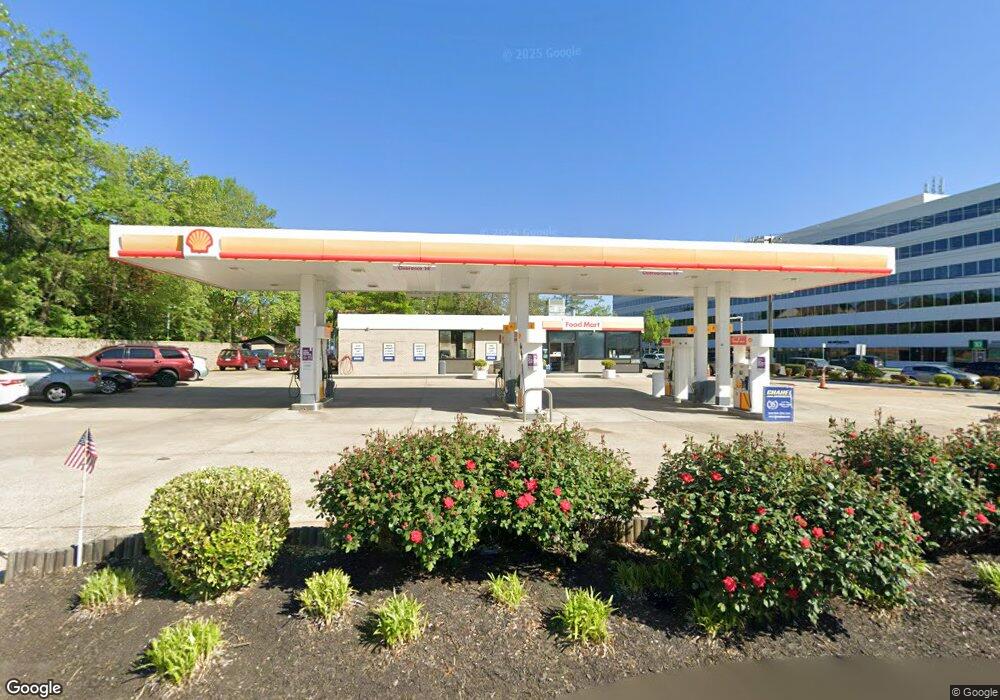
2084 Chain Bridge Rd Vienna, VA 22182
Tysons Corner NeighborhoodEstimated Value: $4,522,462
Studio
--
Bath
--
Sq Ft
13,678
Sq Ft Lot
About This Home
This home is located at 2084 Chain Bridge Rd, Vienna, VA 22182 and is currently estimated at $4,522,462. 2084 Chain Bridge Rd is a home located in Fairfax County with nearby schools including Westbriar Elementary School, Kilmer Middle School, and Marshall High School.
Ownership History
Date
Name
Owned For
Owner Type
Purchase Details
Closed on
Sep 24, 2001
Sold by
Tosco Operating Company I
Bought by
Chapel Properties Inc
Current Estimated Value
Home Financials for this Owner
Home Financials are based on the most recent Mortgage that was taken out on this home.
Original Mortgage
$1,400,000
Outstanding Balance
$542,742
Interest Rate
6.91%
Mortgage Type
Commercial
Estimated Equity
$3,979,720
Purchase Details
Closed on
Mar 1, 2000
Sold by
Mobil Oil Corp
Bought by
Boroczi Scott
Create a Home Valuation Report for This Property
The Home Valuation Report is an in-depth analysis detailing your home's value as well as a comparison with similar homes in the area
Home Values in the Area
Average Home Value in this Area
Purchase History
| Date | Buyer | Sale Price | Title Company |
|---|---|---|---|
| Chapel Properties Inc | $1,650,000 | -- | |
| Boroczi Scott | $1,562,250 | -- |
Source: Public Records
Mortgage History
| Date | Status | Borrower | Loan Amount |
|---|---|---|---|
| Open | Chapel Properties Inc | $1,400,000 |
Source: Public Records
Tax History
| Year | Tax Paid | Tax Assessment Tax Assessment Total Assessment is a certain percentage of the fair market value that is determined by local assessors to be the total taxable value of land and additions on the property. | Land | Improvement |
|---|---|---|---|---|
| 2025 | $13,633 | $957,740 | $957,740 | -- |
| 2024 | $13,633 | $957,740 | $957,740 | $0 |
| 2023 | $14,299 | $1,026,150 | $1,026,150 | $0 |
| 2022 | $14,453 | $1,026,150 | $1,026,150 | $0 |
| 2021 | $14,761 | $1,026,150 | $1,026,150 | $0 |
| 2020 | $15,855 | $1,094,560 | $1,094,560 | $0 |
| 2019 | $16,074 | $1,094,560 | $1,094,560 | $0 |
| 2018 | $12,587 | $1,094,560 | $1,094,560 | $0 |
| 2017 | $16,265 | $1,094,560 | $1,094,560 | $0 |
| 2016 | $16,457 | $1,094,560 | $1,094,560 | $0 |
Source: Public Records
Map
Nearby Homes
- 1807 Vance Place
- 8503 Jeffersonian Ct
- 8411 Black Stallion Place
- 103 Saint Andrews Dr NE
- 244 Old Courthouse Rd NE
- 1733 Cy Ct
- 2177 Chain Bridge Rd
- 401 Old Courthouse Rd NE
- 1936 Lord Fairfax Rd
- 1650 Silver Hill Dr Unit 1206
- 1650 Silver Hill Dr Unit 1703
- 1650 Silver Hill Dr Unit 1907
- 1650 Silver Hill Dr Unit 1806
- 1650 Silver Hill Dr Unit 2507
- 2067 Woodford Rd
- 8176 Madrillon Ct
- 8131 Shining Star Ln Unit 107
- 8131 Shining Star Ln Unit 403
- 8131 Shining Star Ln Unit 406
- 8131 Shining Star Ln Unit 208
- 8437 Old Courthouse Rd
- 8500 Westown Way
- 2081 Chain Bridge Rd
- 1854 Brenthill Way
- 1849 Brenthill Way
- 2087 Chain Bridge Rd
- 8502 Westown Way
- 1852 Brenthill Way
- 1847 Brenthill Way
- 8504 Westown Way
- 1850 Brenthill Way
- 1845 Brenthill Way
- 8506 Westown Way
- 1843 Brenthill Way
- 8510 Westown Way
- 1844 Brenthill Way
- 2095 Chain Bridge Rd
- 8512 Westown Way
- 1841 Brenthill Way
- 1842 Brenthill Way
Your Personal Tour Guide
Ask me questions while you tour the home.