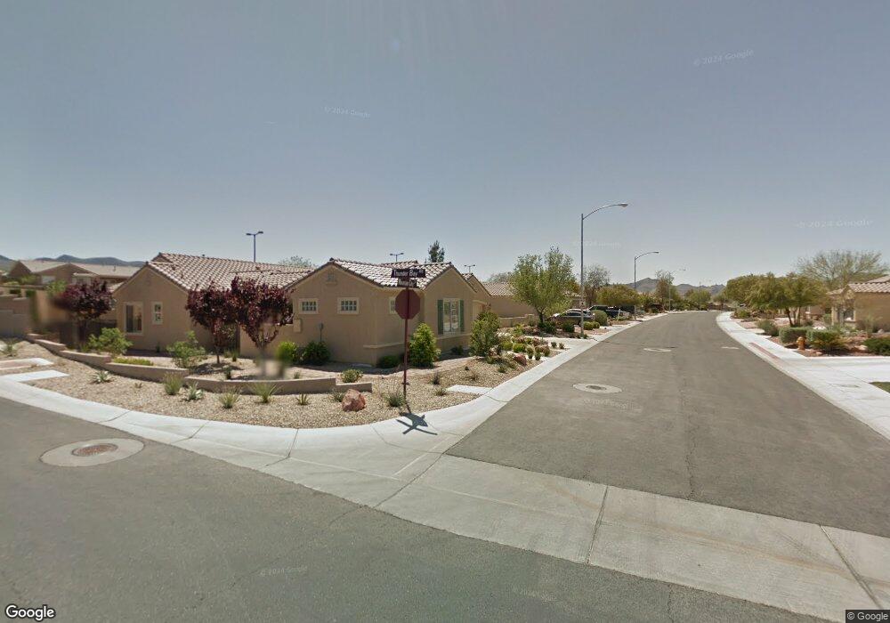
2084 Mountain City St Unit 17 Henderson, NV 89052
Sun City Anthem NeighborhoodEstimated Value: $492,000 - $525,000
2
Beds
2
Baths
1,632
Sq Ft
$314/Sq Ft
Est. Value
About This Home
This home is located at 2084 Mountain City St Unit 17, Henderson, NV 89052 and is currently estimated at $511,858, approximately $313 per square foot. 2084 Mountain City St Unit 17 is a home located in Clark County with nearby schools including Shirley & Bill Wallin Elementary School, Del E. Webb Middle School, and Liberty High School.
Ownership History
Date
Name
Owned For
Owner Type
Purchase Details
Closed on
Jun 17, 2003
Sold by
Del Webb Communities Inc
Bought by
Turnbull Peter G and Turnbull Ann J
Current Estimated Value
Home Financials for this Owner
Home Financials are based on the most recent Mortgage that was taken out on this home.
Original Mortgage
$143,587
Interest Rate
5.53%
Mortgage Type
Unknown
Create a Home Valuation Report for This Property
The Home Valuation Report is an in-depth analysis detailing your home's value as well as a comparison with similar homes in the area
Home Values in the Area
Average Home Value in this Area
Purchase History
| Date | Buyer | Sale Price | Title Company |
|---|---|---|---|
| Turnbull Peter G | $240,587 | Lawyers Title Of Nevada |
Source: Public Records
Mortgage History
| Date | Status | Borrower | Loan Amount |
|---|---|---|---|
| Closed | Turnbull Peter G | $143,587 |
Source: Public Records
Tax History Compared to Growth
Tax History
| Year | Tax Paid | Tax Assessment Tax Assessment Total Assessment is a certain percentage of the fair market value that is determined by local assessors to be the total taxable value of land and additions on the property. | Land | Improvement |
|---|---|---|---|---|
| 2025 | $2,684 | $129,508 | $50,750 | $78,758 |
| 2024 | $2,606 | $129,508 | $50,750 | $78,758 |
| 2023 | $2,606 | $121,815 | $47,250 | $74,565 |
| 2022 | $2,531 | $107,216 | $39,200 | $68,016 |
| 2021 | $2,457 | $98,392 | $33,950 | $64,442 |
| 2020 | $2,383 | $97,311 | $33,600 | $63,711 |
| 2019 | $2,313 | $94,220 | $31,500 | $62,720 |
| 2018 | $2,246 | $90,426 | $29,750 | $60,676 |
| 2017 | $2,596 | $88,615 | $28,000 | $60,615 |
| 2016 | $2,127 | $83,245 | $22,750 | $60,495 |
| 2015 | $2,122 | $75,370 | $15,750 | $59,620 |
| 2014 | $2,060 | $69,535 | $12,250 | $57,285 |
Source: Public Records
Map
Nearby Homes
- 2095 Colvin Run Dr
- 2069 Colvin Run Dr
- 2048 Oliver Springs St
- 2077 Wildwood Lake St
- 2084 Fort Halifax St
- 2134 Colvin Run Dr
- 2899 Brook Trout Ct
- 3029 Brownbirds Nest Dr Unit 17
- 2170 Peyten Park St
- 1999 Oliver Springs St
- 3048 Brownbirds Nest Dr
- 2002 Wildwood Lake St
- 2138 Fort Halifax St
- 2874 Hartwick Pines Dr
- 2167 Maple Heights Ct
- 1964 Oliver Springs St
- 2189 Magnolia Pond Ct
- 3017 Hartsville Rd
- 2101 Canvas Edge Dr
- 2741 Hartwick Pines Dr
- 2088 Mountain City St
- 2080 Mountain City St
- 2092 Mountain City St
- 2085 Mountain City St
- 2089 Mountain City St Unit 17
- 2081 Mountain City St Unit 17
- 2093 Mountain City St
- 2100 Mountain City St
- 2087 Colvin Run Dr
- 2091 Colvin Run Dr Unit 15A
- 2083 Colvin Run Dr
- 2075 Mountain City St Unit 12
- 2082 Oliver Springs St
- 2086 Oliver Springs St Unit 17
- 2078 Oliver Springs St
- 2104 Mountain City St
- 2099 Colvin Run Dr
- 2090 Oliver Springs St Unit 17
- 2070 Mountain City St
- 2077 Colvin Run Dr