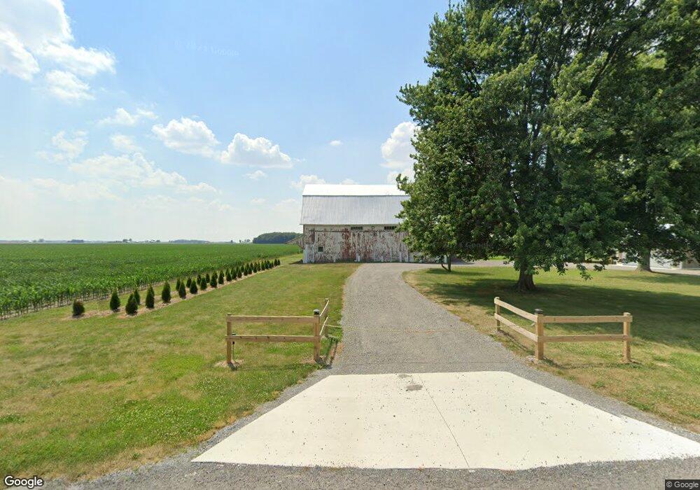
2084 Township Road 136 Mc Comb, OH 45858
McComb NeighborhoodEstimated Value: $163,114 - $205,000
3
Beds
1
Bath
1,515
Sq Ft
$125/Sq Ft
Est. Value
About This Home
This home is located at 2084 Township Road 136, Mc Comb, OH 45858 and is currently estimated at $189,529, approximately $125 per square foot. 2084 Township Road 136 is a home located in Hancock County with nearby schools including McComb Elementary School, McComb Middle School, and Mccomb Local High School.
Ownership History
Date
Name
Owned For
Owner Type
Purchase Details
Closed on
Jul 15, 2022
Sold by
Sieficer Curtis A and Sieficer Lauren
Bought by
Payne Jerry L and Payne Debra I
Current Estimated Value
Home Financials for this Owner
Home Financials are based on the most recent Mortgage that was taken out on this home.
Original Mortgage
$170,000
Outstanding Balance
$162,698
Interest Rate
5.81%
Mortgage Type
New Conventional
Estimated Equity
$26,831
Purchase Details
Closed on
May 10, 2007
Sold by
Beam Janet L and Mason Genise R
Bought by
Siefker Curtis A
Home Financials for this Owner
Home Financials are based on the most recent Mortgage that was taken out on this home.
Original Mortgage
$92,289
Interest Rate
6.2%
Mortgage Type
Purchase Money Mortgage
Create a Home Valuation Report for This Property
The Home Valuation Report is an in-depth analysis detailing your home's value as well as a comparison with similar homes in the area
Home Values in the Area
Average Home Value in this Area
Purchase History
| Date | Buyer | Sale Price | Title Company |
|---|---|---|---|
| Payne Jerry L | -- | None Listed On Document | |
| Siefker Curtis A | $94,000 | Attorney |
Source: Public Records
Mortgage History
| Date | Status | Borrower | Loan Amount |
|---|---|---|---|
| Open | Payne Jerry L | $170,000 | |
| Previous Owner | Siefker Curtis A | $92,289 |
Source: Public Records
Tax History Compared to Growth
Tax History
| Year | Tax Paid | Tax Assessment Tax Assessment Total Assessment is a certain percentage of the fair market value that is determined by local assessors to be the total taxable value of land and additions on the property. | Land | Improvement |
|---|---|---|---|---|
| 2024 | $1,479 | $43,330 | $9,740 | $33,590 |
| 2023 | $1,470 | $43,330 | $9,740 | $33,590 |
| 2022 | $1,507 | $43,330 | $9,740 | $33,590 |
| 2021 | $1,301 | $33,750 | $9,670 | $24,080 |
| 2020 | $1,297 | $33,750 | $9,670 | $24,080 |
| 2019 | $1,240 | $33,750 | $9,670 | $24,080 |
| 2018 | $1,040 | $29,910 | $8,410 | $21,500 |
| 2017 | $1,051 | $29,910 | $8,410 | $21,500 |
| 2016 | $971 | $29,910 | $8,410 | $21,500 |
| 2015 | $871 | $26,470 | $8,410 | $18,060 |
| 2014 | $872 | $26,390 | $8,410 | $17,980 |
| 2012 | $933 | $26,390 | $8,410 | $17,980 |
Source: Public Records
Map
Nearby Homes
- 9991 State Route 613
- 10638 Township Road 109
- 687 State Route 235
- 318 Belmont St
- 11755 State Route 613
- 207 N Todd St
- 323 W State St
- 4134 County Road 203
- 216 S Tarr St
- 0 Joshua Rd Unit 6126475
- 201 Briar Hill Rd
- 223 Cherry St
- 107 S High St
- 308 S Main St
- 215 Briar Hill Rd
- 0 Bearcat Way Or Rock Candy Rd Unit Lot 167
- 117 S Main St
- 0 Rock Candy Rd Unit Lot 172 206819
- 0 Rock Candy Rd Unit Lot 171
- 0 Rock Candy Rd Unit Lot 170
- 1869 Township Road 136
- 0 Township Road 112
- 1460 Township Road 136
- 7353 Township Road 112
- 8530 Township Road 112
- 8530 Township Road 112
- 7914 Township Road 21
- 7914 Township Road 21
- 8318 Ohio 613
- 8600 Township Road 112
- 8811 Township Road 112
- 8564 State Route 613
- 8125 State Route 613
- 8618 Ohio 613
- 8618 State Route 613
- 1407 Township Road 137
- 1144 Township Road 136
- 8738 State Route 613
- 1275 Township Road 137
- 1888 Township Road 135