2084 Union Point Rd Stephens, GA 30667
Estimated Value: $105,000 - $296,000
2
Beds
2
Baths
1,176
Sq Ft
$150/Sq Ft
Est. Value
About This Home
This home is located at 2084 Union Point Rd, Stephens, GA 30667 and is currently estimated at $176,121, approximately $149 per square foot. 2084 Union Point Rd is a home located in Oglethorpe County with nearby schools including Oglethorpe County Primary School, Oglethorpe County Elementary School, and Oglethorpe County Middle School.
Ownership History
Date
Name
Owned For
Owner Type
Purchase Details
Closed on
Jun 16, 2008
Sold by
Cabaniss Jonathan
Bought by
Costilla Jose
Current Estimated Value
Purchase Details
Closed on
Jul 30, 2002
Sold by
Farmer Elizabeth M
Bought by
Cabaniss Jennifer J
Purchase Details
Closed on
Oct 1, 1996
Sold by
Lord Paula
Bought by
Farmer Elizabeth M
Purchase Details
Closed on
Dec 29, 1994
Sold by
Tefel Inc
Bought by
Lord Paula
Create a Home Valuation Report for This Property
The Home Valuation Report is an in-depth analysis detailing your home's value as well as a comparison with similar homes in the area
Purchase History
| Date | Buyer | Sale Price | Title Company |
|---|---|---|---|
| Costilla Jose | $180,000 | -- | |
| Cabaniss Jennifer J | $12,500 | -- | |
| Farmer Elizabeth M | -- | -- | |
| Lord Paula | $15,200 | -- |
Source: Public Records
Tax History
| Year | Tax Paid | Tax Assessment Tax Assessment Total Assessment is a certain percentage of the fair market value that is determined by local assessors to be the total taxable value of land and additions on the property. | Land | Improvement |
|---|---|---|---|---|
| 2025 | $882 | $36,780 | $7,120 | $29,660 |
| 2023 | $710 | $29,780 | $3,520 | $26,260 |
| 2022 | $633 | $24,716 | $3,520 | $21,196 |
| 2021 | $562 | $19,668 | $3,200 | $16,468 |
| 2020 | $429 | $19,668 | $3,200 | $16,468 |
| 2019 | $567 | $19,668 | $3,200 | $16,468 |
| 2018 | $535 | $17,729 | $1,887 | $15,842 |
| 2017 | $535 | $17,729 | $1,887 | $15,842 |
| 2016 | $523 | $17,729 | $1,887 | $15,842 |
| 2015 | -- | $17,729 | $1,887 | $15,842 |
| 2014 | -- | $17,729 | $1,887 | $15,842 |
| 2013 | -- | $17,729 | $1,886 | $15,842 |
Source: Public Records
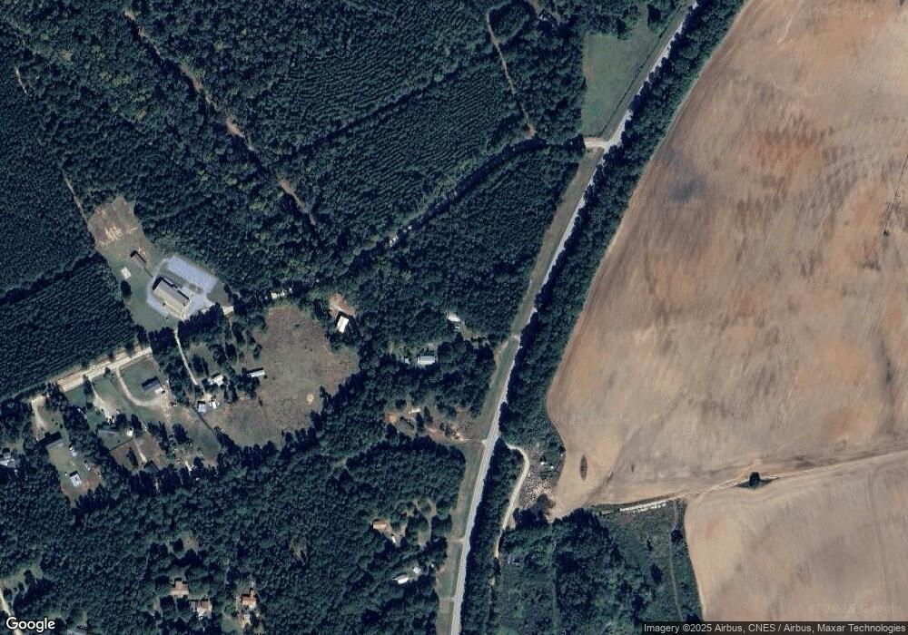
Map
Nearby Homes
- 181 Lower Wirebridge Rd
- 0 Lower Wirebridge Rd
- 290 Poplar Creek Rd
- 1774 Union Point Rd
- 0 Lovers Ln Unit 10690740
- 0 Lovers Ln Unit CL349036
- 0 Bull Bray Rd
- 1500 Churchwell Rd
- 0 Crawfordville Rd Unit 10674081
- 0 Crawfordville Rd Unit CL346865
- 0 Faust Farm Rd
- 0 Crawfordville Rd Unit 26194777
- 0 Crawfordville Rd Unit 26541703
- 400 Salem Church Rd
- 30 Soggy Bottom Rd
- 119 Ralph Bridges Rd
- 1640 Wire Bridge Rd
- 0 Black Snake Rd
- 10817 Double Bridges Rd
- 60 Tribble Bottoms Rd
- 2084 Union Point Rd
- 43 Lower Wire Bridge Rd
- 43 Lower Wirebridge Rd
- 55 Lower Wirebridge Rd
- 2112 Union Point Rd
- 61 Lower Wire Bridge Rd
- 0 Lower Wire Bridge Rd Unit CM907034
- 0 Lower Wire Bridge Rd Unit CM907040
- 0 Lower Wire Bridge Rd Unit CM907041
- 0 Lower Wire Bridge Rd Unit CM983776
- 0 Lower Wire Bridge Rd Unit 10088338
- 0 Lower Wire Bridge Rd Unit 1001255
- 0 Lower Wire Bridge Rd Unit 1007910
- 0 Lower Wire Bridge Rd Unit 983775
- Lot 1 Buds Rd
- 00 Stephens Salem Rd
- 1433 Hwy 77s
- 69 Lower Wire Bridge Rd
- 69 Lower Wirebridge Rd
- 75 Lower Wire Bridge Rd
Your Personal Tour Guide
Ask me questions while you tour the home.