20840 Furr Rd Round Hill, VA 20141
Estimated Value: $1,392,000 - $2,658,358
3
Beds
1
Bath
2,902
Sq Ft
$742/Sq Ft
Est. Value
About This Home
This home is located at 20840 Furr Rd, Round Hill, VA 20141 and is currently estimated at $2,154,119, approximately $742 per square foot. 20840 Furr Rd is a home located in Loudoun County with nearby schools including Banneker Elementary School, Blue Ridge Middle School, and Loudoun Valley High School.
Ownership History
Date
Name
Owned For
Owner Type
Purchase Details
Closed on
Sep 15, 2008
Sold by
Monroe K Lee
Bought by
Pettit Robert L and Wilson,Alexandra M
Current Estimated Value
Home Financials for this Owner
Home Financials are based on the most recent Mortgage that was taken out on this home.
Original Mortgage
$560,000
Outstanding Balance
$373,546
Interest Rate
6.58%
Mortgage Type
New Conventional
Estimated Equity
$1,780,573
Create a Home Valuation Report for This Property
The Home Valuation Report is an in-depth analysis detailing your home's value as well as a comparison with similar homes in the area
Home Values in the Area
Average Home Value in this Area
Purchase History
| Date | Buyer | Sale Price | Title Company |
|---|---|---|---|
| Pettit Robert L | $70,000 | -- |
Source: Public Records
Mortgage History
| Date | Status | Borrower | Loan Amount |
|---|---|---|---|
| Open | Pettit Robert L | $560,000 |
Source: Public Records
Tax History Compared to Growth
Tax History
| Year | Tax Paid | Tax Assessment Tax Assessment Total Assessment is a certain percentage of the fair market value that is determined by local assessors to be the total taxable value of land and additions on the property. | Land | Improvement |
|---|---|---|---|---|
| 2025 | $12,692 | $1,576,620 | $274,120 | $1,302,500 |
| 2024 | $13,693 | $1,582,950 | $241,620 | $1,341,330 |
| 2023 | $13,520 | $1,545,090 | $226,620 | $1,318,470 |
| 2022 | $12,344 | $1,386,910 | $186,620 | $1,200,290 |
| 2021 | $10,671 | $1,237,990 | $315,700 | $922,290 |
| 2020 | $10,435 | $1,177,190 | $315,700 | $861,490 |
| 2019 | $10,579 | $1,183,760 | $315,700 | $868,060 |
| 2018 | $11,095 | $1,193,970 | $315,700 | $878,270 |
| 2017 | $10,779 | $1,130,790 | $315,700 | $815,090 |
| 2016 | $10,979 | $958,890 | $0 | $0 |
| 2015 | $9,206 | $811,120 | $142,990 | $668,130 |
| 2014 | $8,922 | $772,450 | $120,900 | $651,550 |
Source: Public Records
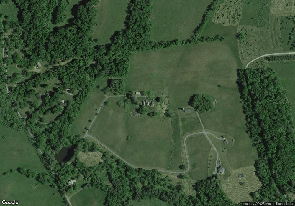
Map
Nearby Homes
- 0 Christmas Tree Ln
- 0 Saint Louis Rd
- 20596 Airmont Rd
- 20209 St Louis Rd
- 36155 Chamblin Mill Ln
- 20960 Beaverdam Bridge Rd
- 0 St Louis Rd Unit VALO2092370
- 0 St Louis Rd Unit VALO2092362
- 19935 Foggy Bottom Rd
- 36789 Snickersville Turnpike
- 33900 Austin Grove Rd
- 19798 Foggy Bottom Rd
- 34321 Foxwood Ln
- 33692 Austin Grove Rd
- 35632 Snickersville Turnpike
- 37116 Snickersville Turnpike
- 22379 Cavalry Heights Cir
- 0 Snickerville Tunrpike
- 18590 appx Foggy Bottom Rd
- 35771 Snake Hill Rd
- 20834 Furr Rd
- 20814 Furr Rd
- 20846 Furr Rd
- 20808 Furr Rd
- 20852 Furr Rd
- 20798 Furr Rd
- 20926 Furr Rd
- 20732 Furr Rd
- 20954 Furr Rd
- 20739 Furr Rd
- 20678 Furr Rd
- 35080 Bloomfield Rd
- 20943 Furr Rd
- 35066 Bloomfield Rd
- 20659 Furr Rd
- 20733 Furr Rd
- 34908 Bloomfield Rd
- 35008 Bloomfield Rd
- 35075 Bloomfield Rd
- 20638 Furr Rd