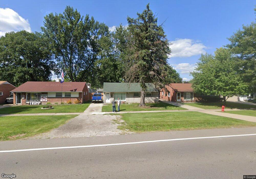
20848 Wick Rd Taylor, MI 48180
Estimated Value: $141,908 - $173,000
Studio
--
Bath
1,036
Sq Ft
$153/Sq Ft
Est. Value
About This Home
This home is located at 20848 Wick Rd, Taylor, MI 48180 and is currently estimated at $158,727, approximately $153 per square foot. 20848 Wick Rd is a home located in Wayne County with nearby schools including Clarence Randall Elementary School, Robert J. West Middle School, and Taylor Preparatory High School.
Ownership History
Date
Name
Owned For
Owner Type
Purchase Details
Closed on
Feb 13, 2004
Sold by
Plymale Jeffrey S
Bought by
Plymale Jeffery S
Current Estimated Value
Home Financials for this Owner
Home Financials are based on the most recent Mortgage that was taken out on this home.
Original Mortgage
$103,550
Outstanding Balance
$48,261
Interest Rate
5.74%
Mortgage Type
Purchase Money Mortgage
Estimated Equity
$110,466
Purchase Details
Closed on
Feb 27, 2001
Sold by
Plymale Jeffery S
Bought by
Plymale Jeffery S
Purchase Details
Closed on
Jul 13, 1994
Sold by
Edward G Nixon
Bought by
Edward George Nixon
Home Financials for this Owner
Home Financials are based on the most recent Mortgage that was taken out on this home.
Original Mortgage
$53,732
Interest Rate
8.38%
Mortgage Type
FHA
Create a Home Valuation Report for This Property
The Home Valuation Report is an in-depth analysis detailing your home's value as well as a comparison with similar homes in the area
Home Values in the Area
Average Home Value in this Area
Purchase History
| Date | Buyer | Sale Price | Title Company |
|---|---|---|---|
| Plymale Jeffery S | -- | Progressive Title Insurance | |
| Plymale Jeffery S | -- | -- | |
| Edward George Nixon | $54,000 | -- |
Source: Public Records
Mortgage History
| Date | Status | Borrower | Loan Amount |
|---|---|---|---|
| Open | Plymale Jeffery S | $103,550 | |
| Previous Owner | Edward George Nixon | $53,732 |
Source: Public Records
Tax History
| Year | Tax Paid | Tax Assessment Tax Assessment Total Assessment is a certain percentage of the fair market value that is determined by local assessors to be the total taxable value of land and additions on the property. | Land | Improvement |
|---|---|---|---|---|
| 2025 | $1,575 | $70,300 | $0 | $0 |
| 2024 | $1,525 | $67,300 | $0 | $0 |
| 2023 | $2,297 | $59,100 | $0 | $0 |
| 2022 | $1,456 | $50,300 | $0 | $0 |
| 2021 | $1,596 | $44,300 | $0 | $0 |
| 2020 | $1,580 | $41,400 | $0 | $0 |
| 2019 | $157,985 | $38,400 | $0 | $0 |
| 2018 | $1,250 | $30,500 | $0 | $0 |
| 2017 | $660 | $30,500 | $0 | $0 |
| 2016 | $1,626 | $29,600 | $0 | $0 |
| 2015 | $2,824 | $29,000 | $0 | $0 |
| 2013 | $2,810 | $28,700 | $0 | $0 |
| 2012 | $1,236 | $28,300 | $8,200 | $20,100 |
Source: Public Records
Map
Nearby Homes
- 20812 Wick Rd
- 21059 Wick Rd
- 9444 Polk St
- 20548 Lockwood St
- 8953 William St
- 9134 Weddel St
- 9127 Weddel St
- 9640 Dudley St
- 9223 Roosevelt St
- 7972 Hipp St
- 20234 Champaign St
- 22134 Wick Rd
- 22185 Wick Rd
- 22137 Haskell St
- 10219 Island Lake Dr
- 8935 Lincoln St
- 8245 Roosevelt St
- 7882 Campbell St
- 22150 Haig St
- 22311 Wick Rd
- 20836 Wick Rd
- 20902 Wick Rd Unit Bldg-Unit
- 20902 Wick Rd
- 20824 Wick Rd
- 20916 Wick Rd
- 20845 Shannon St
- 20833 Shannon St
- 20901 Shannon St
- 20823 Shannon St
- 20913 Shannon St Unit Bldg-Unit
- 20913 Shannon St
- 20926 Wick Rd
- 20813 Shannon St
- 20923 Shannon St
- 20800 Wick Rd Unit Bldg-Unit
- 20800 Wick Rd
- 20936 Wick Rd
- 20801 Shannon St
- 20933 Shannon St
- 20744 Wick Rd
Your Personal Tour Guide
Ask me questions while you tour the home.