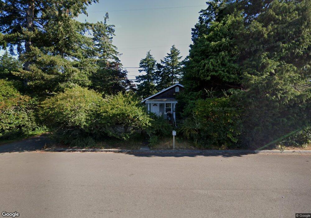
2085 10th St Florence, OR 97439
Estimated Value: $254,000 - $348,000
1
Bed
1
Bath
720
Sq Ft
$414/Sq Ft
Est. Value
About This Home
This home is located at 2085 10th St, Florence, OR 97439 and is currently estimated at $297,953, approximately $413 per square foot. 2085 10th St is a home located in Lane County with nearby schools including Siuslaw Elementary School, Siuslaw Middle School, and Siuslaw High School.
Ownership History
Date
Name
Owned For
Owner Type
Purchase Details
Closed on
Mar 1, 2005
Sold by
Weinhold Richard C
Bought by
Pyle Terry W
Current Estimated Value
Home Financials for this Owner
Home Financials are based on the most recent Mortgage that was taken out on this home.
Original Mortgage
$117,000
Outstanding Balance
$58,720
Interest Rate
5.66%
Mortgage Type
Purchase Money Mortgage
Estimated Equity
$239,233
Purchase Details
Closed on
Aug 12, 2003
Sold by
Silva Sharon Rebecca
Bought by
Weinhold Richard C
Home Financials for this Owner
Home Financials are based on the most recent Mortgage that was taken out on this home.
Original Mortgage
$52,000
Interest Rate
5.6%
Mortgage Type
Balloon
Create a Home Valuation Report for This Property
The Home Valuation Report is an in-depth analysis detailing your home's value as well as a comparison with similar homes in the area
Home Values in the Area
Average Home Value in this Area
Purchase History
| Date | Buyer | Sale Price | Title Company |
|---|---|---|---|
| Pyle Terry W | $130,000 | Western Pioneer Title Co | |
| Weinhold Richard C | $65,000 | Western Pioneer Title Co |
Source: Public Records
Mortgage History
| Date | Status | Borrower | Loan Amount |
|---|---|---|---|
| Open | Pyle Terry W | $117,000 | |
| Previous Owner | Weinhold Richard C | $52,000 |
Source: Public Records
Tax History
| Year | Tax Paid | Tax Assessment Tax Assessment Total Assessment is a certain percentage of the fair market value that is determined by local assessors to be the total taxable value of land and additions on the property. | Land | Improvement |
|---|---|---|---|---|
| 2025 | $2,605 | $190,896 | -- | -- |
| 2024 | $2,529 | $185,336 | -- | -- |
| 2023 | $2,529 | $179,938 | $0 | $0 |
| 2022 | $2,360 | $174,698 | $0 | $0 |
| 2021 | $2,311 | $169,610 | $0 | $0 |
| 2020 | $2,250 | $164,670 | $0 | $0 |
| 2019 | $2,166 | $159,874 | $0 | $0 |
| 2018 | $2,171 | $150,697 | $0 | $0 |
| 2017 | $2,087 | $150,697 | $0 | $0 |
| 2016 | $1,996 | $146,308 | $0 | $0 |
| 2015 | $1,943 | $142,047 | $0 | $0 |
| 2014 | $1,956 | $139,163 | $0 | $0 |
Source: Public Records
Map
Nearby Homes
Your Personal Tour Guide
Ask me questions while you tour the home.