Estimated Value: $203,000 - $275,000
3
Beds
2
Baths
1,592
Sq Ft
$149/Sq Ft
Est. Value
About This Home
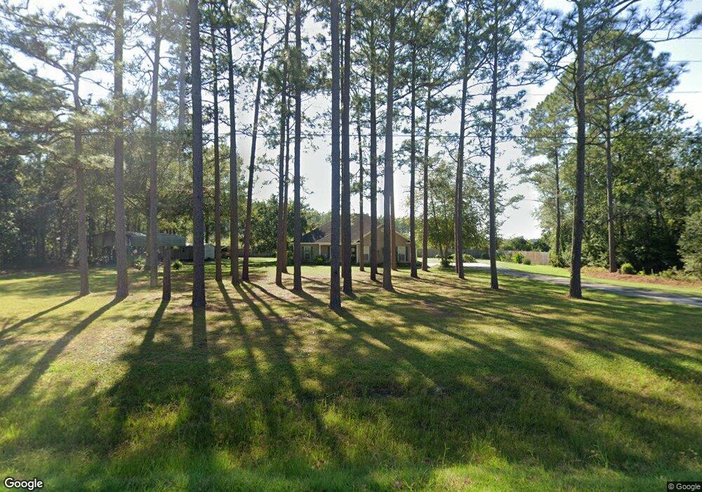
This home is located at 2085 Beards Bluff Rd, Odum, GA 31555 and is currently estimated at $237,921, approximately $149 per square foot. 2085 Beards Bluff Rd is a home located in Wayne County with nearby schools including Odum Elementary School, Martha Puckett Middle School, and Wayne County High School.
Ownership History
Date
Name
Owned For
Owner Type
Purchase Details
Closed on
Sep 16, 2009
Sold by
Mcdaniel Larry G
Bought by
Mcdonald Barbara and Mcdonald Harrie
Current Estimated Value
Purchase Details
Closed on
May 1, 2008
Sold by
Oliver Wilton
Bought by
Mcdaniel Larry G and Mcdaniel Dollie E
Purchase Details
Closed on
Nov 27, 2006
Sold by
Dent Bessie
Bought by
Oliver Wilton
Purchase Details
Closed on
Oct 1, 1979
Purchase Details
Closed on
May 1, 1974
Purchase Details
Closed on
Jul 1, 1973
Create a Home Valuation Report for This Property
The Home Valuation Report is an in-depth analysis detailing your home's value as well as a comparison with similar homes in the area
Purchase History
| Date | Buyer | Sale Price | Title Company |
|---|---|---|---|
| Mcdonald Barbara | $146,500 | -- | |
| Mcdaniel Larry G | $143,000 | -- | |
| Oliver Wilton | $58,000 | -- | |
| -- | $35,000 | -- | |
| -- | -- | -- | |
| -- | -- | -- |
Source: Public Records
Mortgage History
| Date | Status | Borrower | Loan Amount |
|---|---|---|---|
| Closed | Oliver Wilton | $0 |
Source: Public Records
Tax History
| Year | Tax Paid | Tax Assessment Tax Assessment Total Assessment is a certain percentage of the fair market value that is determined by local assessors to be the total taxable value of land and additions on the property. | Land | Improvement |
|---|---|---|---|---|
| 2025 | $979 | $88,008 | $1,298 | $86,710 |
| 2024 | $979 | $85,112 | $1,298 | $83,814 |
| 2023 | $695 | $74,773 | $1,298 | $73,475 |
| 2022 | $825 | $60,298 | $1,298 | $59,000 |
| 2021 | $778 | $52,889 | $1,298 | $51,591 |
| 2020 | $850 | $55,251 | $3,660 | $51,591 |
| 2019 | $901 | $55,251 | $3,660 | $51,591 |
| 2018 | $901 | $55,251 | $3,660 | $51,591 |
| 2017 | $599 | $55,251 | $3,660 | $51,591 |
| 2016 | $599 | $55,251 | $3,660 | $51,591 |
| 2014 | $598 | $55,251 | $3,660 | $51,591 |
| 2013 | -- | $55,251 | $3,660 | $51,591 |
Source: Public Records
Map
Nearby Homes
- 000 Beards Bluff Rd
- TRACT 2 Tank Rd
- Lot 00 Moss Landing
- Lots 26+ Moss Landing
- Lot 21 Moss Landing
- 0 N Church St
- 1029 S Main St
- TRACT 3 Reddish Rd
- TRACT 4 Reddish Rd
- 512 Tillman St
- 0 Tract 3 Hwy 341 & Bennett Mill Pond Rd Unit 1656129
- 0 Tract 6 Hwy 341 & Bennett Mill Rd Unit 1656128
- TRACT 1 Wheaton Rd
- 639 Druid Hills Rd
- 1670 Beaver Dam Rd
- TRACT 1 Bennett Mill Pond Rd
- 3293 Bennett Mill Pond Rd
- 818 Kaitlyn Ave
- 28 Ac Owens Rd
- 19 Ac Owens Rd
- 2277 Beards Bluff Rd
- 6926 Tank Rd
- 2070 Beards Bluff Rd
- 6923 Tank Rd
- 6875 Tank Rd
- 101 Maisie Dr
- 101 Maisie St
- 6760 Tank Rd
- 7390 Tank Rd
- 271 Maisie Dr
- 1037 N Church St
- 1029 N Church St
- 1021 N Church St
- 1032 N Church St
- 1012 N Church St
- 1005 N Church St
- 920 N Church St
- 7536 Tank Rd
- 909 N Church St
- 0 Tank Rd
Your Personal Tour Guide
Ask me questions while you tour the home.