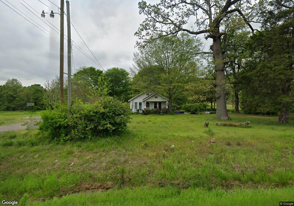
2085 Highway 9 Morrilton, AR 72110
Estimated Value: $113,000 - $128,357
--
Bed
1
Bath
1,031
Sq Ft
$118/Sq Ft
Est. Value
About This Home
This home is located at 2085 Highway 9, Morrilton, AR 72110 and is currently estimated at $122,119, approximately $118 per square foot. 2085 Highway 9 is a home located in Conway County with nearby schools including Morrilton Primary School, Morrilton Intermediate School, and Morrilton Elementary School.
Ownership History
Date
Name
Owned For
Owner Type
Purchase Details
Closed on
Apr 10, 2024
Sold by
Smith Erma D
Bought by
Caldwell Jami
Current Estimated Value
Purchase Details
Closed on
Oct 21, 2021
Sold by
Smith Erma D
Bought by
Caldwell Jami
Purchase Details
Closed on
Sep 18, 2002
Bought by
Johnston Jimmie and Johnston Living Trust
Purchase Details
Closed on
Aug 27, 2002
Sold by
Johnston Living Trust
Bought by
Smith Erma D
Purchase Details
Closed on
May 1, 1995
Bought by
Johnston Jimmie and Martha Anne
Create a Home Valuation Report for This Property
The Home Valuation Report is an in-depth analysis detailing your home's value as well as a comparison with similar homes in the area
Home Values in the Area
Average Home Value in this Area
Purchase History
| Date | Buyer | Sale Price | Title Company |
|---|---|---|---|
| Caldwell Jami | $10,000 | Heritage Title | |
| Caldwell Jami | $110,000 | Heritage Title | |
| Johnston Jimmie | -- | -- | |
| Smith Erma D | $69,100 | Morrilton Abstract Co Inc | |
| Johnston Jimmie | $44,000 | -- |
Source: Public Records
Tax History Compared to Growth
Tax History
| Year | Tax Paid | Tax Assessment Tax Assessment Total Assessment is a certain percentage of the fair market value that is determined by local assessors to be the total taxable value of land and additions on the property. | Land | Improvement |
|---|---|---|---|---|
| 2024 | $434 | $19,030 | $6,830 | $12,200 |
| 2023 | $509 | $19,030 | $6,830 | $12,200 |
| 2022 | $934 | $19,030 | $6,830 | $12,200 |
| 2021 | $130 | $10,290 | $6,010 | $4,280 |
| 2020 | $134 | $10,290 | $6,010 | $4,280 |
| 2019 | $130 | $10,290 | $6,010 | $4,280 |
| 2018 | $24 | $10,290 | $6,010 | $4,280 |
| 2017 | $24 | $10,410 | $6,130 | $4,280 |
| 2016 | $18 | $7,607 | $3,800 | $3,807 |
| 2015 | -- | $7,607 | $3,800 | $3,807 |
| 2014 | -- | $7,607 | $3,800 | $3,807 |
Source: Public Records
Map
Nearby Homes
- 314 Kordsmeier Ln
- 107 Kordsmeier Ln
- 00 Firewood Ln
- 1 Rogers Dr
- 65 Pinter Ln
- 12 Bruce St
- 403 Shady Ln
- 11 Hook Rd
- 4 Robins Ridge Rd
- 29 Overcup Lake Rd
- 21 Spires Rd
- 2447 Highway 9
- 24 Goodman Rd
- TBD Arkansas 95
- 1207 E Rock St
- 16 Himes Dr
- 607 Branch St
- 9 E Harding St
- 2369 U S 64
- 00 E Holloway B2 Lots 7 10 and 14 St
- 2085 Arkansas 9
- 2080 Highway 9
- 2096 Highway 9
- 2088 Highway 9
- 2114 Highway 9
- 2114 Arkansas 9
- N 9 Hwy
- 270 Kordsmeier Ln
- 0 Hoelzeman Ln Unit 17030201
- 2129 Highway 9
- 0 Carl Hoelzeman Ln Unit 16025761
- 308 Kordsmeier Ln
- 37 Terrapin Ln
- 8 Carl Hoelzeman Ln
- 2137 Highway 9
- 20 Terrapin Ln
- 12 Carl Hoelzeman Ln
- 326 Kordsmeier Ln
- 307 Kordsmeier Ln
- 3 Carl Hoelzeman Ln