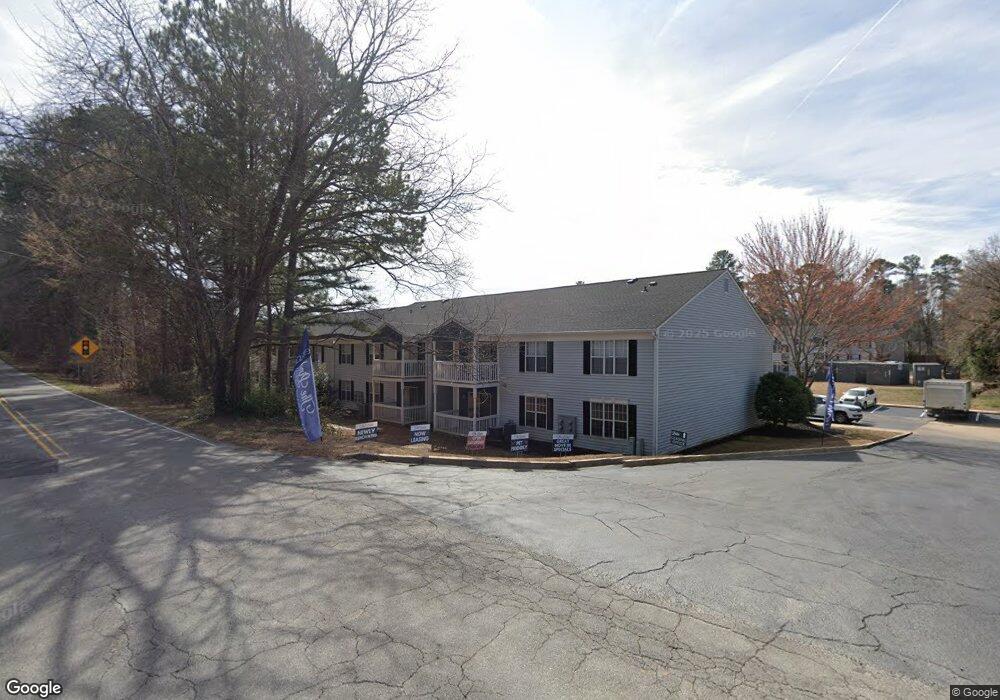
2085 McGee Rd Unit B Rock Hill, SC 29732
Estimated Value: $362,177 - $495,000
Studio
--
Bath
1,646
Sq Ft
$253/Sq Ft
Est. Value
About This Home
This home is located at 2085 McGee Rd Unit B, Rock Hill, SC 29732 and is currently estimated at $416,044, approximately $252 per square foot. 2085 McGee Rd Unit B is a home located in York County with nearby schools including Ebinport Elementary School, W.C. Sullivan Middle School, and Northwestern High School.
Ownership History
Date
Name
Owned For
Owner Type
Purchase Details
Closed on
Apr 19, 1999
Sold by
R A Foster Dev Inc
Bought by
Adams Ira B
Current Estimated Value
Purchase Details
Closed on
Aug 24, 1998
Sold by
Stephenson Lynn W
Bought by
R A Foster Dev Inc
Create a Home Valuation Report for This Property
The Home Valuation Report is an in-depth analysis detailing your home's value as well as a comparison with similar homes in the area
Home Values in the Area
Average Home Value in this Area
Purchase History
| Date | Buyer | Sale Price | Title Company |
|---|---|---|---|
| Adams Ira B | $24,900 | -- | |
| R A Foster Dev Inc | $95,200 | -- |
Source: Public Records
Tax History
| Year | Tax Paid | Tax Assessment Tax Assessment Total Assessment is a certain percentage of the fair market value that is determined by local assessors to be the total taxable value of land and additions on the property. | Land | Improvement |
|---|---|---|---|---|
| 2025 | $1,337 | $9,786 | $1,930 | $7,856 |
| 2024 | $1,192 | $8,510 | $2,139 | $6,371 |
| 2023 | $1,223 | $8,510 | $2,139 | $6,371 |
| 2022 | $1,227 | $8,510 | $2,139 | $6,371 |
| 2021 | -- | $8,510 | $2,139 | $6,371 |
| 2020 | $1,225 | $8,510 | $0 | $0 |
| 2019 | $1,115 | $7,400 | $0 | $0 |
| 2018 | $1,109 | $7,400 | $0 | $0 |
| 2017 | $1,045 | $7,400 | $0 | $0 |
| 2016 | $1,025 | $7,400 | $0 | $0 |
| 2014 | $968 | $7,400 | $1,600 | $5,800 |
| 2013 | $968 | $7,600 | $1,600 | $6,000 |
Source: Public Records
Map
Nearby Homes
- 2263 India Hook Rd
- 100 Warrington Place
- 800 Warrington Place
- 700 Warrington Place Unit I
- 3708 Celanese Rd
- 2129 James Ct
- 740 Tavern Ct Unit 7
- 1705 Kallaramo Rd
- 1981 Hamptonwood Rd
- 2733 Harlinsdale Dr
- 2107 Eakle Dr
- 3065 Devonshire Dr
- 2958 Sancreek Dr
- 3217 Celanese Rd
- 728 Herlong Ave
- 1934 Hayes Dr
- 3154 Devonshire Dr
- 1953 Plath Top Rd
- 1530 Hollythorne Dr
- 1439 Woodhurst Dr
- 2027 Ebinport Rd
- 2035 Ebinport Rd
- 2097 McGee Rd
- 1942 Ebinport Rd
- 2041 Ebinport Rd
- 2172 Ebinport Rd
- 2172 Ebinport Rd
- 2067 McGee Rd
- 2068 Hempstead Rd
- 2076 Hempstead Rd
- 2058 Hempstead Rd
- 2049 Ebinport Rd
- 2086 Hempstead Rd
- 2046 Hempstead Rd
- 2040 McGee Rd
- 2038 Hempstead Rd
- 2038 Hempstead Rd
- 2104 Wentworth Dr
- 2057 Ebinport Rd
- 2028 Hempstead Rd
Your Personal Tour Guide
Ask me questions while you tour the home.