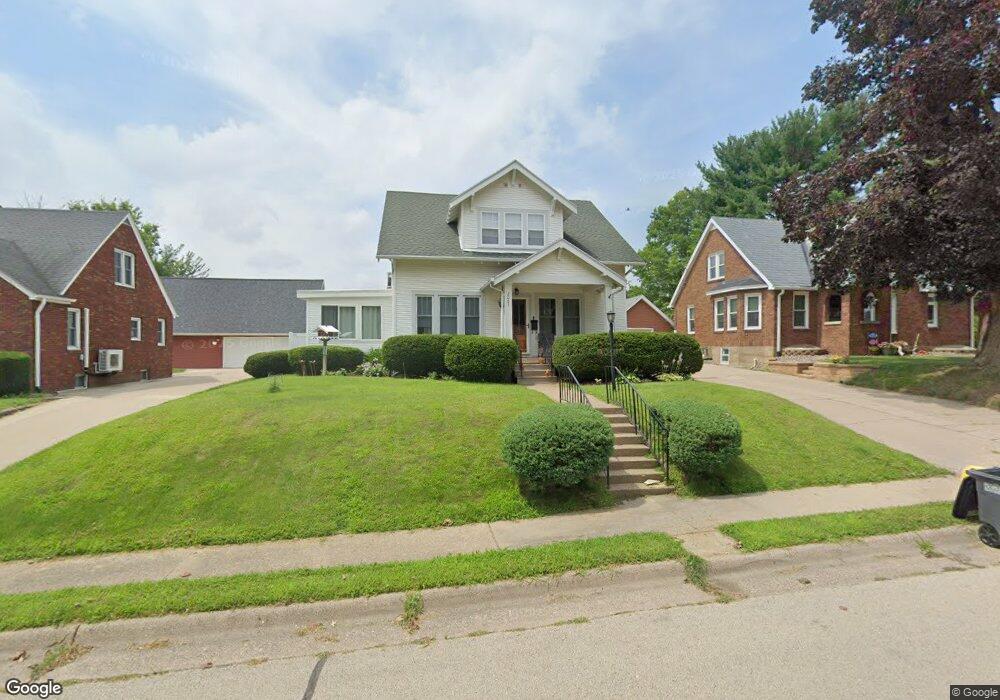
2085 Mullen Rd Dubuque, IA 52001
Estimated Value: $254,000 - $265,000
3
Beds
2
Baths
1,462
Sq Ft
$177/Sq Ft
Est. Value
About This Home
This home is located at 2085 Mullen Rd, Dubuque, IA 52001 and is currently estimated at $259,015, approximately $177 per square foot. 2085 Mullen Rd is a home located in Dubuque County with nearby schools including Irving Elementary School, George Washington Middle School, and Dubuque Senior High School.
Ownership History
Date
Name
Owned For
Owner Type
Purchase Details
Closed on
Aug 22, 2024
Sold by
Rosenow Anthony B and Orourke-Rosenow Marina K
Bought by
Ruden Marc D and Ruden Erin S
Current Estimated Value
Home Financials for this Owner
Home Financials are based on the most recent Mortgage that was taken out on this home.
Original Mortgage
$257,050
Outstanding Balance
$254,152
Interest Rate
6.89%
Mortgage Type
New Conventional
Estimated Equity
$4,863
Create a Home Valuation Report for This Property
The Home Valuation Report is an in-depth analysis detailing your home's value as well as a comparison with similar homes in the area
Purchase History
| Date | Buyer | Sale Price | Title Company |
|---|---|---|---|
| Ruden Marc D | $265,000 | None Listed On Document |
Source: Public Records
Mortgage History
| Date | Status | Borrower | Loan Amount |
|---|---|---|---|
| Open | Ruden Marc D | $257,050 |
Source: Public Records
Tax History
| Year | Tax Paid | Tax Assessment Tax Assessment Total Assessment is a certain percentage of the fair market value that is determined by local assessors to be the total taxable value of land and additions on the property. | Land | Improvement |
|---|---|---|---|---|
| 2025 | $2,280 | $231,700 | $33,700 | $198,000 |
| 2024 | $2,280 | $177,200 | $30,500 | $146,700 |
| 2023 | $2,208 | $177,200 | $30,500 | $146,700 |
| 2022 | $2,130 | $141,120 | $28,890 | $112,230 |
| 2021 | $2,130 | $141,120 | $28,890 | $112,230 |
| 2020 | $2,060 | $128,030 | $27,290 | $100,740 |
| 2019 | $2,054 | $128,030 | $27,290 | $100,740 |
| 2018 | $2,018 | $122,300 | $25,680 | $96,620 |
| 2017 | $1,988 | $122,300 | $25,680 | $96,620 |
| 2016 | $1,988 | $114,760 | $25,680 | $89,080 |
| 2015 | $1,944 | $114,760 | $25,680 | $89,080 |
| 2014 | $1,858 | $113,020 | $25,680 | $87,340 |
Source: Public Records
Map
Nearby Homes
- 1930 Saint Anne Ct
- 2035 Broadlawn Rd
- 2160 Avalon Rd
- 2192 Fairway Dr
- 1921 Avalon Rd
- 2375 Coventry Park Cir
- 2750 Pennsylvania Ave
- 1765 Eden Ln
- 2690 Renaissance Unit 4 Dr
- 1642 Drexel Ave
- 1780 Horizon Ct
- 2935 Van Buren St
- 2330 Evergreen Dr
- 2637 Nebraska St
- 2281 Pasadena #57 Dr
- 2930 Kane #1 St
- 2305 Pasadena #67 Dr
- 2315 Pasadena Dr
- 2155 Decorah St
- 2768 Hickory Hill Ct
Your Personal Tour Guide
Ask me questions while you tour the home.